Walking and Hiking
Central Region has woods and trails places to walk
27 listings





Sturbridge, MA
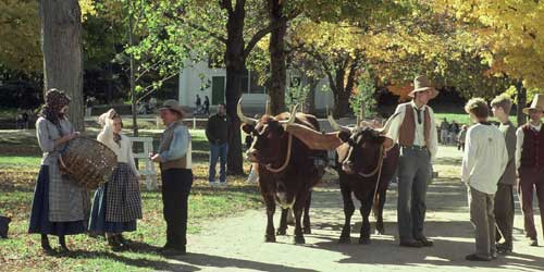
Old Sturbridge Village
1 Old Sturbridge Village Road, off Route 20 508-347-3362Nature is celebrated in historical village’s scenic walks past rivers, pastures, gardens and woodlands
Although Old Sturbridge Village boasts an impressive assortment of historical buildings on its 200-plus acres, it also offers visitors a fine selection of nature and garden walks. Keep your eye out for a great blue heron and water lilies as you walk along the banks of the Quinebaug River to the Wight Family Dam and mill pond. Or, take the pasture walk and imagine animals grazing there in the 1830s. The woodland walk goes by old stone walls and pine, hemlock and beech trees. (You might see the occasional turkey, deer or beaver.) On short garden strolls, you can admire the children’s flower garden at the Fitch House, the kitchen garden at Freeman Farm, formal gardens at the Salem Town House and the herb garden with 400 plant varieties.
Acton, MA
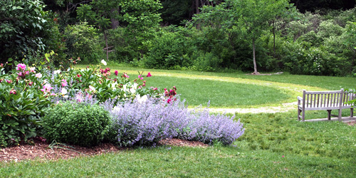
Acton Arboretum Trails
2 Taylor RoadThis public conservation area has a many gardens and an extensive trail system among the gardens, including a link to the town Green along Taylor Road. Trails and the parking area are wheelchair accessible. Arboretum Map. See a full description at our Massachusetts gardens page.
Hours: Open year-round; daily; dawn to dusk. There is no admission charge.
Worcester, MA
Cascade Falls Loop Trail
135 Olean StreetThis trail is near Worcester, so it makes a good, easy-to-reach place for walking near the city. It is 1.4 miles long and rated moderate difficulty. Visitors say their younger kids have walked the trail with no problem. The trail passes a waterfall, but it could be dry in dry seasons. The optimum months to visit this trail are March through October. Very nice wildflowers along the trail in spring. Dogs are allowed this trail. The entire woods comprises about 120 acres, and the name of the property comes from its waterfalls and small streams. Map to the trail
Shrewsbury, MA
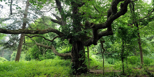
Prospect Park
Prospect Street 508-841-8503This 70-acre park in Shrewsbury is the site of a former mansion, and visitors can enjoy some shivers of past glories from views of the stone walls and partitions of the old formal garden at the top of the hill. The property has more than two miles both paved walks and wooded trails. History enthusiasts can enjoy old photos of the mansion and gardens at the entry kiosk. The estate’s former driveway is popular for joggers and dog walkers; it is commonly known as Meeting House Hill Trail. The six best-known trails on the property are called Juniper Trail (0.1 mile), Merriam Trail, Meeting House Hill Trail, Berry Hill Trail, Whittall Trail, and Pine Grove Trail, all of them under a mile in length, There is on-site parking at this park. Map
Sturbridge, MA
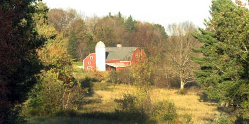
Heins Farm Trail
off Leadmine RoadAt one time a part of the adjacent Heins Family Farm, the 84-acre Heins Conservation Land is bisected by the odl Stafford Turnpike, honored in the name of the 1.2-mile Stafford Turnpike trail on the property. Two more walking or hiking trails are the 0.5-mile Cabin Loop Trail and the 0.6-mile Pond View Loop Trail. A parking area for visitors and walkers is across from Leadmine Road from the Heins Conservation Land. Trail map.
Brimfield and Southbridge, MA
Grand Trunk Trail
Trailheads: US 20, near West Old Sturbridge Road in Brimfield and Westville Dam at Marjorie Lane in SouthbridgeThe Grand Trunk Trail follows the path of an old trolley line. It is part of a larger system called the Trolley Line Trail. This six-mile rail trail wanders through woods and marshlands. There is lots of opportunity to watch and enjoy nature in very quiet surroundings. Trail walkers will find parking at the Westville Recreation Area off of Breakneck Road in Sturbridge. This trailhead connects to the Grand Trunk Trail. A shorter, 1.8-mile hike loops around Westville Lake. It is an easy and enjoyable walk which is also dog-friendly and great for families. Trail map.
Baldwinville, MA
Otter River State Forest
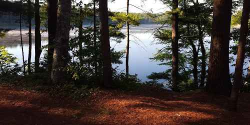
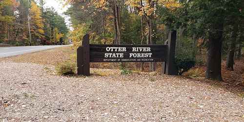
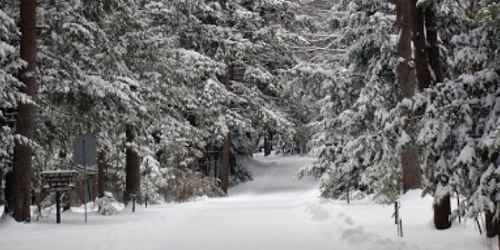
86 Winchendon Road 508-939-8962Otter River State Forest has extensive walking and hiking trails near and around Lake Dennison Recreation Area and Beaman Pond. Trails are used for cross-country skiing and snowshoeing in winter. - Trail Map (PDF)
Phillipston, MA
Elliott Laurel
Route 101 978-840-4446Once pastureland, Elliott Laurel is now a quiet woodland traversed by old stone walls. Its scenic foot trail crosses an open field before climbing a rocky hillside to a south-facing overlook, then leads gently through shaded woods dotted by white pines and hemlocks before descending past rock outcrops to a red maple swamp. The return leg of the trail passes thickets of spring-blooming mountain laurel (Kalmia latifolia) for which the Reservation is named. At peak in mid-June, the pink flower buds of mountain laurel gradually open to reveal brilliant white flowers, brightening the shady woodland floor.
Petersham, MA
North Common Meadow
Main Street 978-840-4446Once pastureland, North Common Meadow now preserves the rural charm and character of Petersham Center. The upper meadow produces hay that is cut by a local farmer, and the lower meadow supports a variety of wildflowers and has a small lily-covered pond. From the field adjacent to the Petersham Historic Society on Main Street, visitors can take in a sweeping view of Mount Wachusett.
Royalston, MA
Jacobs Hill
Route 68 978-840-4446Get back in touch with nature
Visitors to Jacobs Hill can hike two miles of trails that closely track the ridgeline of the hill, passing through a forest of beech, maple, ash, and birch, and connecting two spectacular overlooks. Both trails take in impressive views of the forested slopes of Tully Mountain, Mount Grace, and the Berkshire Hills. Further south along the trail, a stream tumbles over the ridgeline, creating the dramatic Spirit Falls, and at the eastern edge of the Reservation lies the stream’s source: Little Pond, a classic northern bog.
Hopkinton, MA
Hopkinton State Park
164 Cedar Street 508-435-4303This state park on the Hopkinton Reservoir has a very large trail system for all users, including hikers, mountain bikers, horseback riders, and cross country skiers. - Trail Map (PDF)

Leominster, MA
Leominster State Forest
90 Fitchburg Road - Route 31 508-874-2303The Midstate Trail passes through this heavily forested property. Hiking paths are abundant at Leominster State Forest. People may do rock climbing at Crow Hill Ledges. Mountain biking is allowed, but mountain bikers may not use hiking trails. - Trail Map (PDF)
Royalston, MA
Tully Trail
trailhead is opposite 25 Doane Hill RoadThe Tully Trail is a 22-mile loop trail that encircles the Tully Valley in the North Quabbin region. From the summit of Tully Mountain to Doane’s Falls, the trail gives walkers access to wonderfully scenic views. The trail is irregularly marked with yellow rectangular blazes and blue-purple Tully Trail markers. Walkers should use a stand-alone GPS unit or GPS-based mobile mapping app. The Tully Trail is maintained only sporadically by volunteers; many sections of the trail are difficult to follow and challenging to navigate. Trail map.
Access and Parking: Trailhead parking is provided at the Tully Lake Campground at 25 Doane Hill Road in Royalston.

Sturbridge, MA
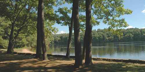
Wells State Park
159 Walker Pond Road 508-347-9257There are 10 miles of hiking trails on this pretty, wooded property. Off road vehicles may not be used on hiking trails. One popular walk with good views at the end goes to Carpenter Rocks. - Trail Map (PDF)
Petersham, MA
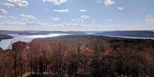
Federated Women's Club State Forest
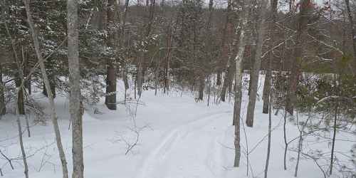
West Street 978-544-3939This property is southwest of the Quabbin Reservoir and on the reservoir's watershed. Wooded roads pass through pine, maple, birch and hemlock groves. Good for walking and hiking and nature viewing, including passing of migratory and local fowl.
Douglas, MA
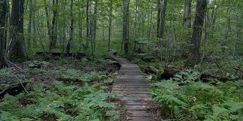
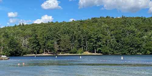
Douglas State Forest
107 Wallum Lake Road 508-476-7872The Midstate Trail, a hiking trail through the center of Massachusetts, runs through Douglas State Forest. - Trail Map (PDF)
Petersham, MA
Brooks Woodland Preserve
East Street 978-840-4446Once home to Nipmuc, the Brooks Woodland Preserve is an undisturbed forest of red oaks, hemlocks, and white pine. Visitors may hike or cross-country ski along 13 miles of woodland trails and former woods roads. Old stone walls cross the forest floor, passing through patches of maidenhair ferns, winterberry, and partridgeberry. Along parts of the Swift River, Moccasin Brook, and Roaring Brook, beaver dams have created swamps, and a cascade of glacial boulders provide dens for porcupines. Six early-nineteenth-century farmsteads can be rediscovered in the Preserve by their remaining fieldstone cellar walls, porch steps, and chimney supports.
Monson, MA
Peaked Mountain
Butler Road 978-840-4446From the 1,227-foot summit of Peaked Mountain, a panoramic view unfolds taking in Connecticut's Shenipsit State Forest to the south, Mount Monadnock to the north, and Mount Wachusett to the northeast. In between lies a sweep of rolling New England countryside with forested hills and ridges, valley farms, and small villages. The Valley View overlook provides views of nearby Boulder Hill and the City of Springfield to the west. Other trails at peaked Mountain encircle tranquil Lunden Pond, where visitors might glimpse beavers, herons, and other wildlife drawn to the quiet waters.
Princeton, MA
Wachusett Mountain State Reservation
345 Mountain Road 508-464-2987The reservation has 17 miles of hiking and walking trails. Views of Mount Monadnock (NH), the Berkshire Mountains, and the Boston skyline can be seen from the summit (2,006 feet).The Wachusett Mountain State Reservation is a good stop for hiking, nature study, bird watching, picnicking, and cross country skiing.
Hours: Mountain access road is open Memorial Day to the last Sunday in October. Road is open daily, 9 a.m. to sunset.
Belchertown, MA
Quabbin Reservoir and Visitor Center
100 Winsor Dam Road 413-323-7221Quabbin Reservoir is one of the largest man-made public water supplies in the United States. The New Salem and Enfield lookouts offer magnificent views of the reservoir. The Quabbin Interpretive Services Program operates the Quabbin Visitor Center and provides general information. An automated telephone system at 413-323-7221 provides 24-hour access to current information on fishing, hunting, programs, rules and regulations, and public access. Since this is a public drinking water supply, swimming, wading, and dogs are prohibited. Permitted uses are shoreline fishing, hiking, bicycling walking, bird watching, snowshoeing, hunting, with restrictions, and picnicking.
Lancaster, MA
Dexter Drumlin
George Hill Road 978-840-4446A favorite spot for winter sledding, Dexter Drumlin is maintained as a graceful, open meadow with lovely views of historic Lancaster and its surrounding farmland. A narrow mowed footpath traverses the crest of the hill and loops back along the stream to the entrance affording the visitor the opportunity to view grassland birds making use of the drumlin and the adjacent floodplain fields for nesting and raising their young.
Leominster, MA
Doyle Reservation
Lindell Avenue 978-840-4446Pierce Park at the Doyle Reservation was part of a former turn-of-the-century grand estate featuring a twenty-nine-room stucco mansion with a ballroom and conservatory, a matching stable, extensive horse paddocks, Pierce Pond (across Merriam Avenue), and an extensive system of bridle paths through woodland and around the pond. Ten acres of the original landscaped grounds have been restored as a neighborhood park, and most of the trees and shrubs are from the estate's original design and plantings.
Petersham, MA
Swift River Reservation
Nichewaug Road 978-840-4446Swift River Reservation welcomes visitors with the opportunity to hike, mountain bike, cross-country ski, and horseback ride over 439 forested acres. Located where the East Branch of the Swift River links all three tracts of the river, the reservation’s natural features include extensive rocky ledges, ravines, open fields, a beaver-dammed swamp, vernal pools, and forest edges along woods roads. In the late 1700’s, much of the reservation was cleared for farms that were largely abandoned by the early 1900’s, and the forest returned only to be decimated by a major hurricane in 1938. Today most of the Reservation's mixed hardwood forest dates to this hurricane.
West Brookfield, MA
Rock House Reservation
Route 9 978-840-4446Located near two long Native American footpaths, the large size and height of the Rock House’s southern exposure made it an excellent winter camp for Native Americans, suggesting its use as a trail camp and meeting place. Following the arrival of colonists in the mid-seventeenth century, the area forests were gradually cleared for farming. Today, a forest of pine and mixed hardwoods has reclaimed the landscape, and visitors can hike along three miles of trails that take in Carter Pond, the Rock House, Balance Rock, and stands of red pine and spruce.
Gardner, MA
Dunn State Park
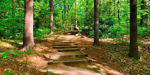
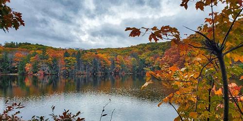
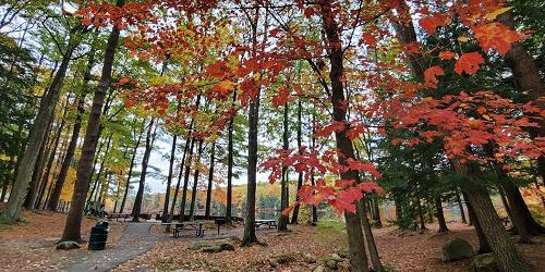
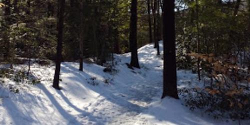
289 Pearl Street 508-632-7897Park activities are centered upon a small pond. There are several walking trails. The Woodland Trail is designed for wheelchair accessibility through the forest. Distance is one mile. The main trail is 60 feet wide, and it includes some steep areas with stairways. Length is one mile - Trail Map (PDF)
Royalston, MA
Royalston Falls
Falls Road 978-840-4446Concealed within a dense forest
The rushing waters of Royalston Falls have carved a deep gorge out of granite. Here, Falls Brook plunges forty-five feet into a basin. In summer, ferns cling to the chasm's walls; in winter, freezing spray creates a fantastic landscape of ice. Upstream, the swirling brook has carved natural bridges through the bedrock. The wild and undisturbed appearance of the area today belies the landscape's history. For many years, the land was cleared and farmed, and during the 19th century, was also the site of town picnics and gatherings in the summer months.
Sutton, MA
Purgatory Chasm State Reservation
198 Purgatory Road 508-234-3733A unique natural landmark, Purgatory Chasm runs for a quarter of a mile between granite walls rising as high as 70 feet. Popular with picnickers and rock-climbers alike, the Chasm is believed to have its origin in the sudden release of dammed-up glacial meltwater near the end of the last Ice Age, approximately 14,000 years ago. Trails lead to a wide variety of rock formations, with such romantic names as The Corn Crib, The Coffin, The Pulpit, Lovers' Leap and Fat Man's Misery. Recreational uses: walking, hiking, picnicking, hunting, accessible restrooms.