Biking
Central Massachusetts/Sturbridge have great biking trails
2 listings
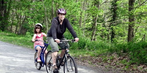
West Boylston to Holden, MA
Massachusetts Central Rail Trail
see trail mapMassachusetts Central Rail Trail for bicycles and walkers, when finished, will include 104 miles connecting 24 communities Boston to Northampton. Various groups are refurbishing the trail in pieces. Volunteers with Wachusetts Greenways have opened 11 miles of the rail trail, as follows Sterling from Cider Mill to Gates Road; West Boylston/Holden from Oakdale to River Street along the Quinapoxet River; Holden Connector from River Street to Manning Street to Mill Street; Rutland from Wachusett Street south to the Holden line; Rutland from Glenwood Road to Route 56; Rutland from the Charnock Hill Road to Barrack Hill Road to Rutland State Park entrance road to Route 122 and the Midstate Trail. Get out on two wheels to two feet and join the adventure. - Rail Trail Map
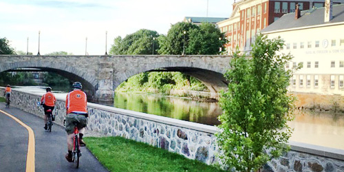
South Worcester, MA
Blackstone River Greenway in Massachusetts
McKeon Road in South Worcester, MA, to Tockwotton Park in Providence, RILength: 26.6 miles
The goal of developers is to create a 50-mile network of trails along the historic Blackstone River's banks from Worcester, MA, to Providence, RI. Completed off-road sections in Massachusetts include a 3.5-mile segment from South Worcester to Millbury, and a 3.6-mile trail in Blackstone River and Canal Heritage State Park in Uxbridge. - Trail Map for the Park.
Currently, the longest off-road segment connects Woonsocket and Pawtucket in Rhode Island. Learn about the Blackstone River Greenway and Bikeway, with maps. Uses include biking, skating, fishing, horseback riding, walking and cross country skiing. The trail is wheelchair accessible.
Parking and Trail Access Points:
In Worcester: Parking at the Blackstone Heritage Corridor Visitor Center off McKeon Road in Worcester. - Map
Blackstone River and Canal Heritage State Park in Uxbridge: Parking is at the River Bend Farm Visitor Center at 287 Oak St, Uxbridge. - Map
Woonsocket: Rivers Edge parking Area on Davison Avenue in Woonsocket. - Map
Lonsdale: Parking area and trail access point near the Pratt Dam in Lonsdale on RI Route 123/Front Street. - Map