State and Local Parks
Central Region boasts state and local parks with fun activities all year
8 listings
Petersham, MA
Federated Women's Club State Forest
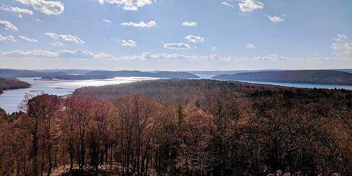
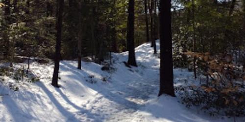
West Street 978-544-3939This property is southwest of the the Quabbin Reservoir and on land of the reservoir's watershed. Wooded roads pass through pine, maple, birch and hemlock groves. A wildlife sanctuary of 140 acres is in the center of the park. Good for bird watching for wild fowl, Limited-service campsites are available. Fishing and cross-country skiing also are allowed. No pets are allowed on Watershed Property.
Gardner, MA
Dunn State Park
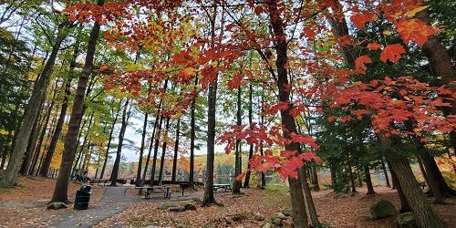
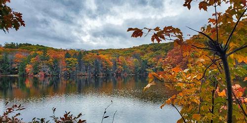
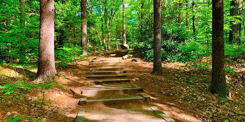
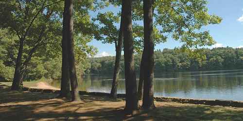
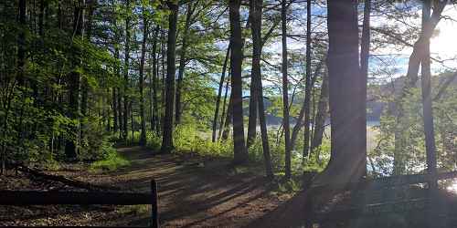
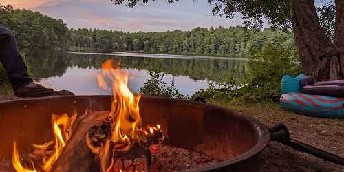
289 Pearl Street 508-632-7897This park revolves around a pond, where swimming, fishing and non-motorized boats are allowed. Several walking trails, which also accommodate cross country skiers. Picnicking and playground. In winter, walking trails are available for cross country skiing and ice skating is done on the pond. Often, a wood fire is lit in the visitor center. All activities in the park are wheelchair-accessible. - Trail Map (PDF)
Sturbridge, MA
Wells State Park
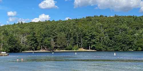
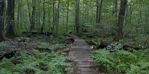
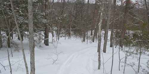
159 Walker Pond Road 508-347-9257The major activities at the park in the woods are camping and hiking. The campground has 60 sites. Campers only may use the swimming beach at Walker Pond . The pond also is liked for fishing and canoeing. During the summer, Wells offers guided walks and evening campfire programs. Hiking trails on the property total 10 miles of walking; ORVs may not be used on hiking trails. A well-liked walk goes to the vista at Carpenter Rocks. Wells is five miles by car from Old Sturbridge Village, a living history museum of New England village life in the 17th century. - Trail Map (PDF)
Douglas, MA
Douglas State Forest
107 Wallum Lake Road 508-476-7872The state forest in Massachusetts also borders on Connecticut and Rhode Island. Activities at the park include water sports -- swimming, boating, paddling, fishing -- on Wallum Lake. There is a boat ramp and parking for boat trailers. Fish species includes trout, largemouth bass, and pickerel. Also: trails for horse riding and, in the winter, cross-country skiing and snowmobiling. There are picnic grounds, a beach for swimming, and bathrooms.
The Midstate Trail, a hiking trail through the center of Massachusetts, runs through the park. The park includes a 5-acre expanse of white cedar swampland, and a boardwalk trail to view the swampland. The park is popular and can reach capacity on some days in summer. To receive a tweet when Douglas State Forest reaches capacity. - Trail Map (PDF)
Baldwinville, MA
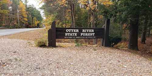
Otter River State Forest
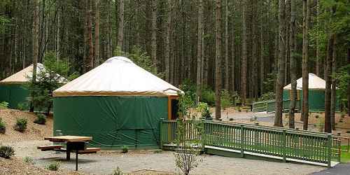
86 Winchendon Road 508-939-8962Otter River State Forest is a popular camping and day-use property. It encompasses the Lake Dennison Recreation Area, which has swimming, canoeing, and fishing areas. The state forest also has developed facilities on Beaman Pond. There are 85 campsites, including yurt camping; a swimming beach; a ball field; and picnic areas. Trails for hiking and cross-country skiing are available. - Trail Map (PDF)
Season & Hours: Open daily, sunrise to sunset.

Leominster, MA
Leominster State Forest
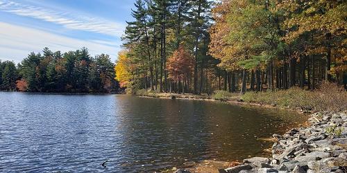
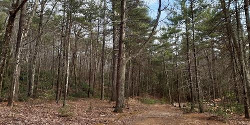
90 Fitchburg Road - Route 31 508-874-2303Leominster State Forest is a 4,300-acre forest with two ponds. People can hike, ride mountain bikes, swim, fish and picnic in summer and cross-country ski and snowmobile in winter. Parking fees are charges from Memorial Day to Labor Day. There is no camping at this forest.
People may do rock climbing at Crow Hill Ledges. Mountain bikers may not use hiking trails. The terrain for mountain bikers includes unpaved fire roads to single-track trails. Bikers are supported by the New England Mountain Bike Association
A swimming beach at Crow Hill Pond has two picnic areas with tables, grills, and a bathhouse. Lifeguards are on duty from mid-June until Labor Day. Crow Hill Pond is stocked with trout. Kayakers, canoeists, paddlers and fishermen enjoy Paradise Pond. - Trail Map (PDF)
Hopkinton, MA
Hopkinton State Park
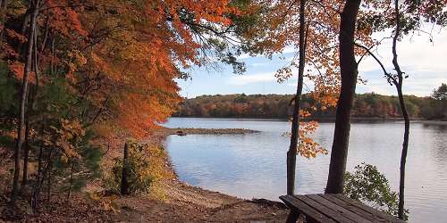
164 Cedar Street 508-435-4303Hopkinton State Park includes the beautiful Hopkinton Reservoir. Recreational activities including two swimming beaches (staffed by life guards May through Labor Day), stocked fishing, a group picnic site and a dozen shaded, picnic areas with picnic tables and charcoal grills, on a first-come, first-served basis. There are 10 miles of marked trails, open field space and a concrete boat ramp only for canoes and kayaks. Seasonal boat rentals are available. Restrooms are open except in winter.
Trail system is for all users, including hikers, mountain bikers, horseback riders, and cross country skiers are welcome. Snowmobiles are allowed when snow cover is at least four inches deep.
On busy summer days and holidays, this park may reach its parking capacity and be closed for limited periods of time. For closure updates, follow the park on Twitter at @MassDCR. - Trail Map (PDF)
East Brimfield, MA
East Brimfield Lake / Holland Pond / Lake Siog / Quinebaug River Recreation Area
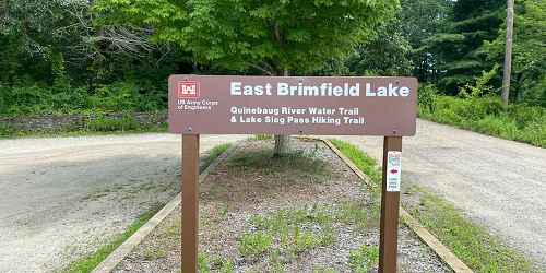
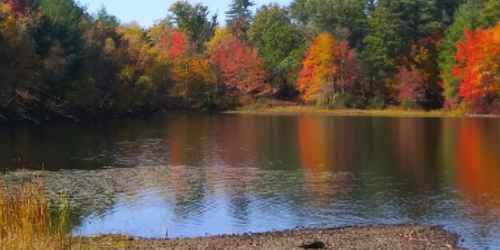
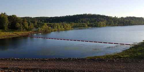
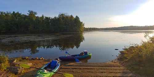
Route 20 and East Brimfield Holland RoadThis large recreation area encompasses the East Brimfield Lake and Holland Pond and the Quinebaug River, which links the two water bodies. Activities include trout fishing from stocked pond; a water release in April with canoe races; swimming, boating, and water skiing on East Brimfield Lake; canoeing on the Quinebaug River Canoe Trail; hunting for deer and turkey; fishing; ice fishing for Northern pike, pickerel, and bass.