Walking and Hiking
Massachusetts has lots of city and country trails for walking and hiking
From a cabin in the woods,, Henry David Thoreau expounded on the virtues and health benefits of walking. Here you’ll find miles of paved, lighted, unpaved, sun-drenched and shaded trails for every age, ability, and destination in mind. In charming cities and quaint towns, on beaches and in the pastoral countryside, come and discover historic battlefields and streets where patriots and presidents walked. Explore parks, woodland and wildlife areas, old railroad beds, carriage roads, farms, meadows and cranberry bogs. Travel urban paths, greenways, and riverbeds. Climb ridges along the Mohawk and Appalachian trails and stroll luscious valleys. After your walk, loosen those muscles at a luscious spa.
160 listings





Sturbridge, MA
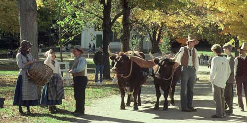
Old Sturbridge Village
1 Old Sturbridge Village Road, off Route 20 508-347-3362Nature is celebrated in historical village’s scenic walks past rivers, pastures, gardens and woodlands
Although Old Sturbridge Village boasts an impressive assortment of historical buildings on its 200-plus acres, it also offers visitors a fine selection of nature and garden walks. Keep your eye out for a great blue heron and water lilies as you walk along the banks of the Quinebaug River to the Wight Family Dam and mill pond. Or, take the pasture walk and imagine animals grazing there in the 1830s. The woodland walk goes by old stone walls and pine, hemlock and beech trees. (You might see the occasional turkey, deer or beaver.) On short garden strolls, you can admire the children’s flower garden at the Fitch House, the kitchen garden at Freeman Farm, formal gardens at the Salem Town House and the herb garden with 400 plant varieties.
Newburyport, MA
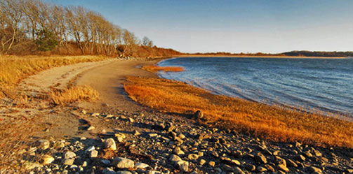
Hellcat Interpretive Trail at Parker River National Wildlife Refuge
Headquarters, 6 Plum Island Tpk. 978-465-5753From the 6.5 mile long Wildlife Drive, visitors can see wildlife in salt marsh, dune, and maritime forest. The Hellcat Interpretive Trail boardwalk includes a marsh and dune loop. Other boardwalks provide access to the refuge’s ocean beach (beaches are closed to protect piping plover from April 1 through late summer). Two observation towers, the handicap-accessible Pine Trail, and several more wildlife viewing areas provide places to enjoy wildlife. Trail guide. Stay on trails and use protection from ticks and other biting insects. Map
Admission: Daily entrance: $5 for cars; $2 for bicycles and pedestrians; an annual pass, $20.
Mount Washington, MA
Mount Everett State Reservation
143 East Street 413-528-0330Good for scenery and vista-viewing; free access; pets permitted.
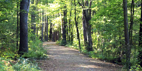
Mount Everett is close to the juncture of Connecticut, Massachusetts, and New York State. The hike up to its 2,624-foot summit is challenging, but the reward is views that are out of this world. The summit road is supposed to be open in the summer; it is wise to call ahead to make sure the road will be open. If the summit road is open, you can drive to the top. Directions.
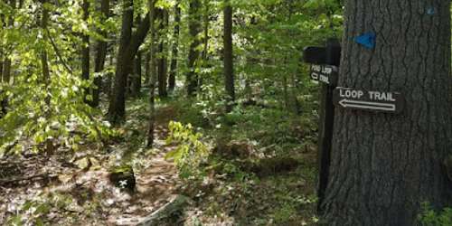
Here’s a tip from BerkshireHiking.com: If you are looking for a hike that is a workout but not too grueling, park at the base of the Everett's summit road (East Street in Mount Washington, MA). Follow the summit road to Guilder Pond, which offers a loop trail. From Guilder Pond you can proceed to white blazes that indicated you’re on the Appalachian Trail. Hop on the A.T. and head for the summit, just a mile away. Map.
Season & Hours: The park is open year-round, sunrise to sunset year-round. Summit road is open in the summer.
Mashpee, MA
Mashpee River Reservation
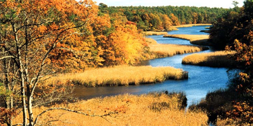
Quinaquisset Avenue and Meetinghouse Road 508-679-2115Two miles of trails wind through Mashpee River Reservation to a pristine shoreline. The reservation's trails link with the Cape Cod Pathways trail system.
Tyringham, MA
McLennan Reservation
Fern Road 413-298-3239Hiking, birding, picnicking
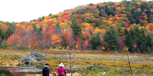
From the entrance of the McLennan Reservation, a 1.5-mile trail follows the graceful rises and dips of this densely forested landscape before reaching the high plateau where Hale Swamp (created when beavers dammed Camp Brook long ago) is located. Round Mountain and its neighbor, Long Mountain, form the backdrop for the reservation, which was once part of the Ashintully estate, whose gardens are located at the southern end of the valley.
Williamstown, MA
Mountain Meadow Preserve
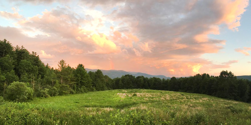
Mason Street 413-458-3144Mountain Meadow Preserve protects forest, fields, and wetlands along the Massachusetts-Vermont border that are home to bears, coyotes, bobcats, fox, and deer, butterflies, amphibians. There are four miles of easy-to-moderate trails on roads and footpaths, One trail cuts through a spectacular upland wildflower meadow. A second loop trail leads to a summit with views of Mount Greylock and the Taconic Range. The property is owned and managed by Trustees of Reservations
Hours: Open year-round, daily, sunrise to sunset. Allow a minimum of 1 hour. Map.
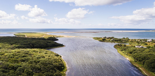
West Tisbury (on the island of Martha's Vineyard), MA
Long Point Wildlife Refuge
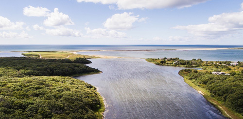
Off Long Point Road 508-693-7662Long Point covers 600 acres of beaches, dune, and woodland. Outside the summer season, birders and other nature-watchers also enjoy exploring the property and its easy-walking trails. A two-mile trail that leads through oak forest and grasslands.
See full description of property , including hours and admission, at our Science & Nature page.
Boston, MA
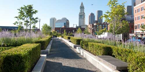
The Rose Kennedy Greenway
617-292-0020The Rose Kennedy Greenway is a mile-and-a-half string of parks in the heart of Boston. The Greenway links six parks: North End Park, Armenian Heritage Park, Wharf District Park, Fort Point Channel Park, Dewey Square Park and Chinatown Park. Seven water features and fountains are popular on hot summer days. The Greenway Carousel, open from mid-April through December, is a new Boston landmark. Fourteen fanciful characters on the carousel are native to Massachusetts.
The Greenway hosts art exhibits, festivals, a farmers market, and a concert series. The Greenway is easily accessible by several MBTA trains: the Red Line, Silver Line and Commuter Rail at South Station; the Blue Line at the Aquarium; and the Orange and Green Lines at Haymarket. The Greenway is wheelchair accessible. - Interactive Map
Concord and Lincoln, MA
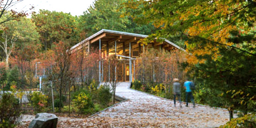
Walden Pond State Reservation Trails
915 Walden Street 978-369-3254Henry David Thoreau lived at Walden Pond from July 1845 to September 1847. His experience at Walden provided the material for the book Walden. Because of Thoreau's legacy, Walden Pond has been designated a National Historic Landmark and is considered the birthplace of the conservation movement. The Reservation includes the 102-foot deep glacial pond. Hiking trails travel around the pond and pass the replica of Thoreau's cabin. Year-round interpretive programs and guided walks are offered as well as a gift shop, bookstore and a gallery. Trail map.
Hours: Open year-round for day use only. Hours vary by season. Call 978 369-3254 for current park hours.
Fees: Daily parking fee is $8-$10.
Acushnet, MA
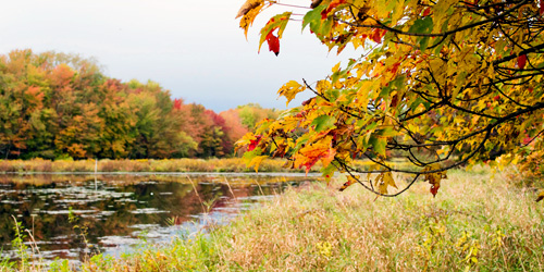
The Sawmill
32 Mill Road 508-999-6363The Sawmill is a public park on the north end of New Bedford aside the Acushnet River where a lumberyard once stood, . Visitors are welcome to walk the easy trails (some are wheelchair accessible), go fishing, paddle , or look for birds and wildlife. The Hawes Family Learning Center has exhibits about the natural history of the river. Expect to see dragonflies, ospreys, and ducks. Nature creates a fishway in the spring: a series of pools and boulders that fish navigate as they migrate upstream. There is a ramp for small boats. In winter, people may snowshoe here. Property map. Map.
Hours: Open dawn to dusk with a parking lot and on-street parking. Free admission. Dogs allowed on leash.
Needham, MA
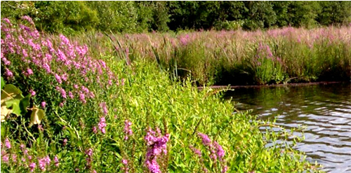
Cutler Park Reservation
84 Kendrick Street 617-698-1802This large park is an aquatic for the freshwater marsh on the middle Charles River. Activities here include bird watching and hiking. The1.5-mile Kendrick Pond loop trail moves through the park's major highlights. Parking is free at entrance.
Hours: Dawn to dusk - Trail Map (PDF)
Boston, MA
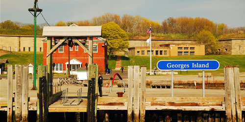
Boston Harbor Islands National Park Area
191w Atlantic Avenue 617-223-8666Islands in Boston Harbor, and easy ferry ride from downtown. Swimming, hiking, picnicking. A fun day trip
There are many walking trails on many of the Harbor Islands. Lovells Island has a rocky coastline and tidepools for wading. Explore the remains of historic Fort Standish. On Georges Island, take a relaxing stroll around Civil War-era Fort Warren. There are also plenty of walking and hiking paths on Spectacle Island, Bumpkin Island, Peddocks Island, Thompson Island, Worlds End Island, and Webb Memorial Island. In addition to historic forts, you'll walk through historic sites like old Native American buildings and a children's hospital. Grape Island is full of colorful wildlife and flora. On Deer Island, hike or walk a 2.6-mile shoreline path and 2 miles of scenic hill trails. For ferry schedule and ticket information, click the ticket icon below this listing.
Season & Hours: Mid-May to mid-October; see ferry schedule
From Belchertown, MA
Metacomet-Monadnock Trail from Holland Glen to Mount Lincoln
This is a 10-mile section of the 117-mile Metacomet-Monadnock Trail (M+M) which is managed the Appalchian Mountain Club. In its entirely, the trail traverses the Metacomet Ridge of the Pioneer Valley region of Massachusetts and the central uplands of Massachusetts and southern New Hampshire.
This 10-mile section is moderately difficult. It takes walkers over ridges and along streams on footpaths and old-town roads, overgrown with mixed forest. Holland Glen, the start of the hike, is a steep ravine laced with a clear stream and shaded by a mature hemlock stand. There’s a waterfall at the top of the glen. Follow the white blazes.
Directions: From Massachusets Route 2, take Route 202 to Belchertown. Take the exit for Route 9 west. Proceed 2.8 miles to parking on the right. The trailhead is just north of parking lot.
Boston, MA
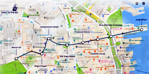
Walk to the Sea
Beacon Hill to Long WharfThe Walk to the Sea is a self-guided trail from the State House on Beacon Hill, overlooking Boston's ancient Common, to Long Wharf, on Boston Harbor. The one-mile-long walk passes historic landmarks and descends one hundred feet. Large panels are situated along the walking trail to guide and educate walkers.
Acton, MA
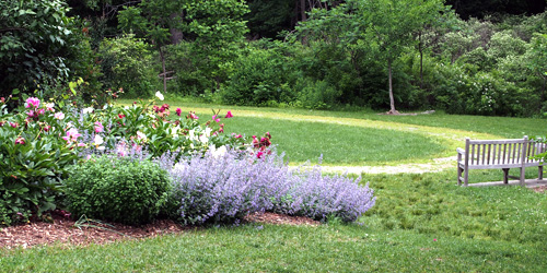
Acton Arboretum Trails
2 Taylor RoadThis public conservation area has a many gardens and an extensive trail system among the gardens, including a link to the town Green along Taylor Road. Trails and the parking area are wheelchair accessible. Arboretum Map. See a full description at our Massachusetts gardens page.
Hours: Open year-round; daily; dawn to dusk. There is no admission charge.
Pittsfield, MA
Mahanna Cobble Trail
former Bousquet ski area, 101 Dan Fox DriveBerkshire Natural Resources Council and Mill Town have developed a permanent trailhead from the former Bousquet ski area. Mahanna Cobble Trail is 2.8 miles round trip and is rated difficult because of elevation changes. “Cobble” is a local term to describe a geologic formation of exposed bedrock high on a ridge.
Directions: Park to the far left of the former Bosquet lodge. Signs direct hikers to a temporary access route from the Bousquet base lodge and parking area, up a ski hill, toward the new Mahanna Cobble trail. Take the beginner ski slope, Drifter, up for 0.4 miles to the start of the trail. After that, the trail is a one mile of abrupt turns and stone steps. There is a spectacular view and stone bench at the apex.
Worcester, MA
Cascade Falls Loop Trail
135 Olean StreetThis trail is near Worcester, so it makes a good, easy-to-reach place for walking near the city. It is 1.4 miles long and rated moderate difficulty. Visitors say their younger kids have walked the trail with no problem. The trail passes a waterfall, but it could be dry in dry seasons. The optimum months to visit this trail are March through October. Very nice wildflowers along the trail in spring. Dogs are allowed this trail. The entire woods comprises about 120 acres, and the name of the property comes from its waterfalls and small streams. Map to the trail
Shrewsbury, MA
Prospect Park
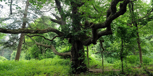
Prospect Street 508-841-8503This 70-acre park in Shrewsbury is the site of a former mansion, and visitors can enjoy some shivers of past glories from views of the stone walls and partitions of the old formal garden at the top of the hill. The property has more than two miles both paved walks and wooded trails. History enthusiasts can enjoy old photos of the mansion and gardens at the entry kiosk. The estate’s former driveway is popular for joggers and dog walkers; it is commonly known as Meeting House Hill Trail. The six best-known trails on the property are called Juniper Trail (0.1 mile), Merriam Trail, Meeting House Hill Trail, Berry Hill Trail, Whittall Trail, and Pine Grove Trail, all of them under a mile in length, There is on-site parking at this park. Map
Sturbridge, MA
Heins Farm Trail
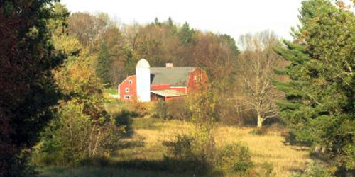
off Leadmine RoadAt one time a part of the adjacent Heins Family Farm, the 84-acre Heins Conservation Land is bisected by the odl Stafford Turnpike, honored in the name of the 1.2-mile Stafford Turnpike trail on the property. Two more walking or hiking trails are the 0.5-mile Cabin Loop Trail and the 0.6-mile Pond View Loop Trail. A parking area for visitors and walkers is across from Leadmine Road from the Heins Conservation Land. Trail map.
Brimfield and Southbridge, MA
Grand Trunk Trail
Trailheads: US 20, near West Old Sturbridge Road in Brimfield and Westville Dam at Marjorie Lane in SouthbridgeThe Grand Trunk Trail follows the path of an old trolley line. It is part of a larger system called the Trolley Line Trail. This six-mile rail trail wanders through woods and marshlands. There is lots of opportunity to watch and enjoy nature in very quiet surroundings. Trail walkers will find parking at the Westville Recreation Area off of Breakneck Road in Sturbridge. This trailhead connects to the Grand Trunk Trail. A shorter, 1.8-mile hike loops around Westville Lake. It is an easy and enjoyable walk which is also dog-friendly and great for families. Trail map.
Tyringham, MA
Tyringham Cobble
Jerusalem Road 413-298-3239Visitors to Tyringham Cobble can hike two miles of trails, a section of which is a link in the Appalachian Trail, that pass over the twin knobs of the Cobble offering spectacular views of Tyringham Valley. Small trees and shrubs have taken root among dramatic rock outcrops and glacial boulders, and wildflowers, blackberries, blueberries, and wild strawberries grow in clearings and open meadows. The Cobble was used as pastureland for a Shaker community in the late eighteenth century, but today provides excellent opportunities for bird watching, picnicking, and cross-country skiing.
Hadley, MA
Skinner State Park
Route 41 413-586-0350This park features 10 miles of trails, which allow visitors to climb Mount Holyoke and the Holyoke Range. Offers great view of the Connecticut River Valley.
Williamsburg, MA
Petticoat Hill
Petticoat Hill Road 413-684-0148Spend some time in this century old forest
This hillside is covered by a 100-year-old forest criss-crossed by old stone walls and dotted with the cellar holes and foundations of early farmsteads. The Reservation takes its name from the story of a family with seven daughters that settled near the top of the hill. Each daughter wore five petticoats, and, on Monday wash days, people from miles around could see thirty-five petticoats billowing in the breeze as they dried on a clothesline. The focal point of this park is a natural bridge, but visitors can also enjoy swimming, hiking, fishing, and cross-country skiing. Special events are often scheduled.
Northampton, Hadley, & Amherst, MA
Norwottuck Rail Trail
Begins at Elwell State Park, Damon Road 413-586-8706This 8.5-mile trail runs from Northampton, through Hadley and into Amherst along the old Boston & Main Railroad line. Bicycle and wheelchair hand-cycles rentals are available.
South Deerfield, MA
Mount Sugarloaf State Reservation
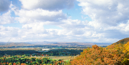
Route 116 413-545-5993The summit of Mount Sugarloaf has vast views of the Connecticut River Valley. The park is great for picnics, hiking, and mountain biking. Visitors can use grills, restrooms and picnic areas.
Hours: Summit road is open mid-May through mid-October. Property is open 9 a.m.-sunset
Admission: MA resident , $5; non-MA resident, $10. The pavilion costs $65/day to reserve. It holds 30 people.
Great Barrington, MA
Monument Mountain
Route 7 413-298-3239For almost two centuries, Monument Mountain has been a source of inspiration to poets, novelists, and painters. The summit offers panoramic views of Southern Berkshire County, and three miles of trails lead through a white pine and oak forest. During William Cullen Bryant's stay in Great Barrington, he penned the lyrical poem "Monument Mountain," and on August 5, 1850, Nathaniel Hawthorne and Herman Melville enjoyed a well-chronicled picnic hike up Monument Mountain. A thunderstorm forced them to seek refuge in a cave where a vigorous discussion ensued, inspiring ideas for Melville's new book, Moby Dick.
Dover, MA
Noanet Woodlands
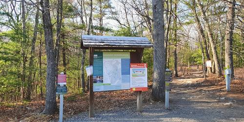
Dedham Street 781-821-2977Named after a chief of the Natick Indians, Noanet Woodlands features 17 miles of shady trails and wooded roads ideal for walking, cross-country skiing, snowshoeing and horseback riding, and a hike up Noanet Peak rewards visitors with a view of Boston's skyline above the forest canopy. In the early nineteenth century, Noanet Brook was home to a large rolling and slitting mill that made barrel hoops, wheel rims, nail plates, and nail rods from forged iron. Today the mill's twenty-four-foot-high dam and twenty-foot-deep wheel pit are preserved, but visitors will have to imagine the towering thirty-six-foot wheel that powered the mill.
Belchertown, MA
Quabbin Reservoir and Visitor Center
100 Winsor Dam Road 413-323-7221Quabbin Reservoir is one of the largest man-made public water supplies in the United States. The New Salem and Enfield lookouts offer magnificent views of the reservoir. The Quabbin Interpretive Services Program operates the Quabbin Visitor Center and provides general information. An automated telephone system at 413-323-7221 provides 24-hour access to current information on fishing, hunting, programs, rules and regulations, and public access. Since this is a public drinking water supply, swimming, wading, and dogs are prohibited. Permitted uses are shoreline fishing, hiking, bicycling walking, bird watching, snowshoeing, hunting, with restrictions, and picnicking.

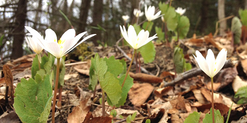
Easthampton, MA
Arcadia Nature Center and Wildlife Sanctuary
127 Combs Road 413-584-3009Explore four miles of trails at Arcadia, including an 850-foot wheelchair accessible trail. - Trail Map (PDF)
Hours: Open Daily dawn to dusk. Nature Center is open Mon-Fri 9am - 3pm, Saturday 9am - 4pm and Sunday 10am - 2pm.
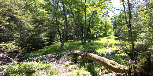
Hampden, MA
Laughing Brook Education Center and Sanctuary
793 Main Street 413-584-3009This is the house owned by children’s author Thornton Burgess, embedded in 300 acres of walking trails. At least Three designated trails travel through woods and forest, with a variety of plant and animal life to see on all sides. - Trail Map (PDF)
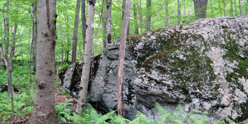
Wales, MA
Norcross Wildlife Foundation
30 Peck Road 413-245-1264There are two miles of marked walking trails through a variety of habitats and wildflower gardens at this 8,000-acre nature preserve and nature education property.
Hours: Trails are generally open April through November, trail conditions permitting. Call ahead during the winter months.
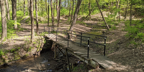
Feeding Hills, MA
Robinson State Park
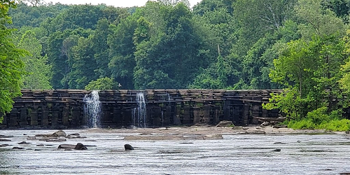
428 North Street 413-786-287720 miles of trails and footpaths are the Yellow, Red, Green, and White Trails, which all connect to each other and will take you through wooded areas and along the scenic Westfield River. Look for the waterfall at Mittineague, too. - Trail Map (PDF)
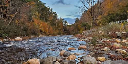
Charlemont, MA
Mohawk Trail State Forest
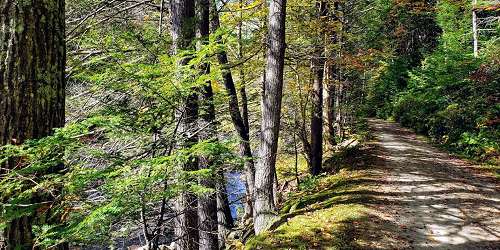
175 Mohawk Trail (MA Route 2) 413-339-5504Hike and walk along the Mohican-Mohawk Trail, a Native American footpath between the Connecticut and Hudson River Valleys. Quarter-mile Thumper Mountain Trail is located near the year-round group campsite, and leads you to a lookout point where you can watch the sun rise. Indian Lookout Trail is one mile long and leads you to another scenic lookout. Hike to Clark Mountain and Todd Mountain from this trail, or continue straight on the Mohican-Mohawk Trail. - Trail Map (PDF)
Chester, MA
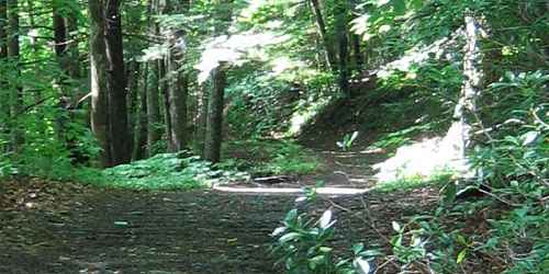
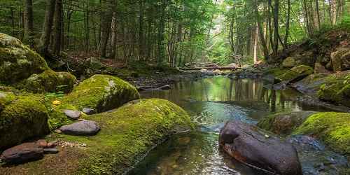
Chester-Blandford State Forest
20 Chester Road 413-354-6347Hike at your own pace on any of this park's many trails. An easy 1-mile hike will lead you to beautiful Sanderson Brook Falls. If you're up to the challenge, the H. Newman Marsh Memorial Trail features a climb to the top of Observation Hill, with views of the river valley. Or, wander near the historic Jacob's Ladder Scenic Byway for another stunning vista. - Trail Map (PDF)
Chicopee, MA
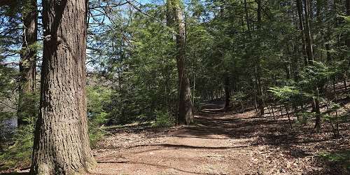
Chicopee Memorial State Park
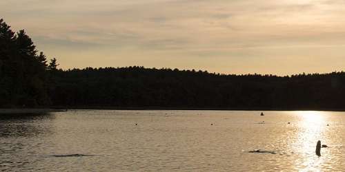
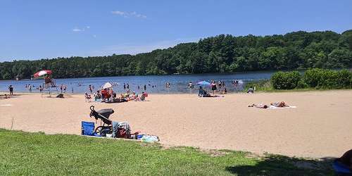
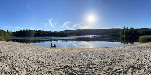
570 Burnett Road 413-594-9416Wrapped around a 25-acre pond and swimming beache, this park also has walking and biking trails. Hike a two-mile paved trail around the pond and through a pine forest. See trail map for more paths. - Trail Map (PDF)
Clarksburg, MA
Clarksburg State Park
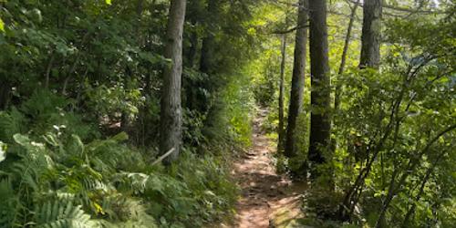
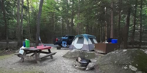
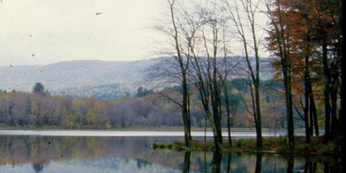
1199 Middle Road 413-664-8345Hike 9.5 miles of foot trails surrounding Mauserts Pond. Five winding, looping walking trails offer various difficulty levels, depending on how far you plan to hike. - Trail Map (PDF)
Egremont, MA
Jug End State Reservation
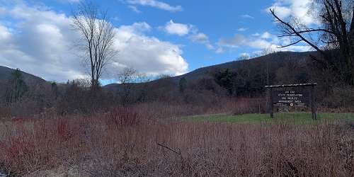
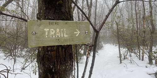
Jug End Road 413-528-0330Jug End offers one of the most scenic areas in the Berkshires. The Jug End Loop Trail is a two-mile walk through open fields and hardwood woodlands. This walk also provides access to and parking for the Appalachian Trail. Open year-round, sunrise to sunset. Parking is only for daytime use of the park. No charge to enter the property. Pets are permitted on a 10-foot leash. Off-road vehicles and alcoholic beverages are not allowed.
Warning!: Black bears live here - NEVER confront or feed or tease the bears. Be sure to seal your food and collect all trash to take with you. Rattlesnakes also live in the park. Stay clear of them. - Trail Map (PDF)
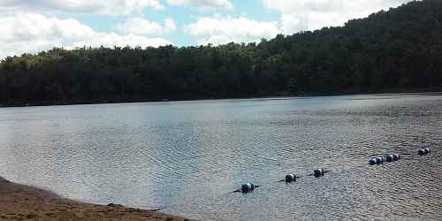
Florida, MA
Savoy Mountain State Forest
260 Central Shaft Road 413-663-8469No matter the season, you can go hiking on more than 50 miles of trails at Savoy Mountain State Forest. Experience natural spectacles like rich fall foliage and hawk migration. Spruce Hill on the Busby Trail is recommended by locals for its stunning view. - Trail Map (PDF)
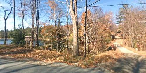
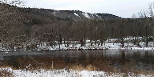
Hawley, MA
Kenneth Dubuque Memorial State Forest
MA Route 8A 413-339-5504This 7,882-acre northern hardwood and spruce-fir forest offers 35 miles of mixed-use trails, six miles of hiking trails and one mile interpretive trail around Hallockville Pond. There are many historic sites, such as evidence of an abandoned village; a beehive charcoal kiln; and the remnants of mill businesses. Open: year-round, sunrise to sunset. Access is free. Interior roads are in poor condition. Carry-in, carry-out all your belongings and trash. Snowmobiling is available on 35 miles of trails, conditions permitting. Parking is available at King Corner garage on Route 8A. Prohibited: All-terrain vehicles and alcoholic beverages. - Trail Map (PDF)
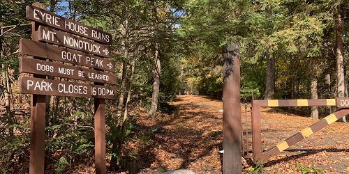
Holyoke, MA
Mount Tom State Reservation
125 Reservation Road 413-534-1186The summit of Mount Tom has vast views of the Connecticut Valley and the Berkshire mountains. The property has 22 miles of hiking and walking trails, visitor center with rest rooms, a play area for kids, picnicking, fishing on the 10-acre Lake Bray; and cross country skiing and ice skating. - Trail Map (PDF)
Lanesborough, MA
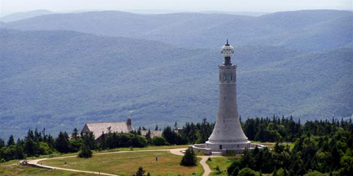
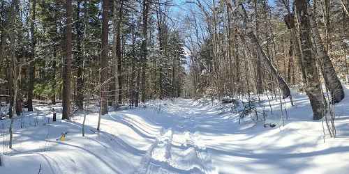
Mount Greylock State Reservation
30 Rockwell Road 413-499-4262There are many paths of all difficulties which one can take to reach Mount Greylock's summit. For an easier walk, meander along the 1.8-mile-long Bradley Farm Trail, and learn about the area's rich farming history. Also worth exploration are the Scenic Byway or Greylock Glen. Take a camera! - Trail Map (PDF)
Lee, MA
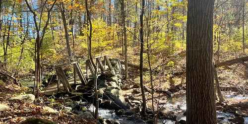
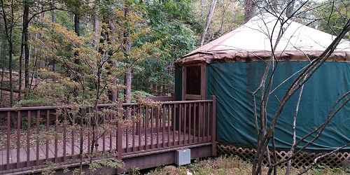
October Mountain State Forest
317 Woodland Road 413-243-1778This very large state park has extensive walking trails. Be aware you are in black bear country; stay away from bears. - Trail Map (PDF)
Monroe, MA
Monroe State Forest
Tilda Hill Road 413-339-5504Walking and hiking in Monroe State Forest will lead you through valley, mountain, and woods. For scenic views of Hoosac and Green Mountains and Deerfield River, hike to the summit of Spruce Mountain. Try the Dunbar Brook Trail, which starts from the River Road parking area and is full of ancient trees. The brook drops 700 feet and gives way to waterfalls, rapids, and natural pools. No services are available. Watch for black bears. Trail map.
Mount Washington, MA
Mount Washington State Forest
545 East Street 413-528-0330Take in vast views of this rugged natural landscape along two main trails. The South Taconic Trail brings you to the 2,000-foot summit of Alander Mountain. Or, you can follow the majestic Appalachian Trail; either way, explore this area on foot for a satisfying view of the surrounding valley ridges and trees. - Trail Map (PDF)


Monterey, MA
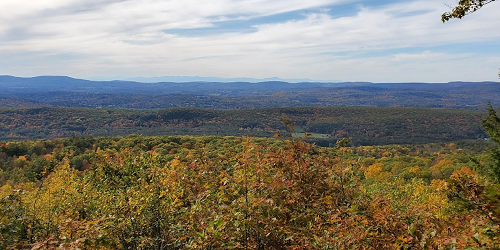
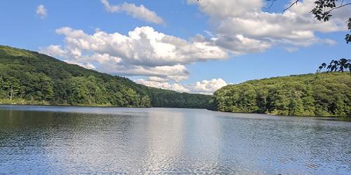
Beartown State Forest
69 Blue Hill Road 413-528-0904When you walk or hike through the 12,000 acres of Beartown State Forest, you'll gain endless chances to observe wildlife like beavers, deer, Bob and Fisher cats, and even Black Bears. Hike the 1.5-mile Benedict Pond Loop Trail in any season. Enjoy the stunning, life-filled landscape, and be sure to check out the nearby Appalachian Trail, which runs all the way from Georgia up to Maine. - Trail Map (PDF)
Pittsfield, MA
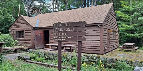
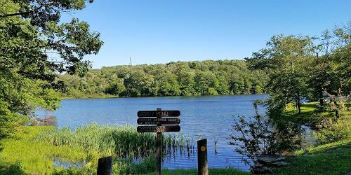
Pittsfield State Forest
1041 Cascade Street 413-442-8992Good for handicap-accessible recreation, fishing, walking & hiking.
Hike or walk 30 miles of trails and enjoy a natural retreat along the ridge of the Taconic Mountain Range, which rises up between Massachusetts and New York. The Taconic Crest Trail is a popular, 35-mile hiking trail. Wheelchair users can easily enjoy the smoother, three-quarter-mile Tranquility Trail. Handicap-accessible picnic site and restroom nearby. - Trail Map (PDF)
Sandisfield, MA
Sandisfield State Forest (York Lake)
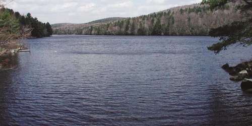
York Lake Road 413-229-8212Hike the two-mile Pond Loop Trail for good views of the lake. Moderate difficulty.
Warwick, MA
Mount Grace State Forest
78 Winchester Road 978-544-3939Mt. Grace is the second highest peak in Massachusetts. There are hiking, cross-country skiing and horseback riding trails. Picnic areas are also available. - Trail Map (PDF)
Goshen, MA
D.A.R. State Forest
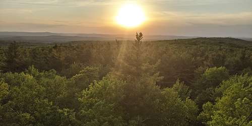
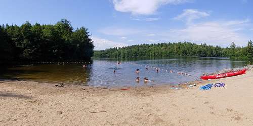
78 Cape Street - MA Route 112 413-268-7098Hike and walk along 15 miles of trails through northern hardwood-conifer forest at the foothill of the Berkshire Mountains. Trails are for multiple uses, including mountain biking, horse riding, and snow sports. Spectacular views of the Connecticut River Valley can be seen from the Goshen fire tower. - Trail Map (PDF)
Mount Washington, MA
Bash Bish Falls State Park
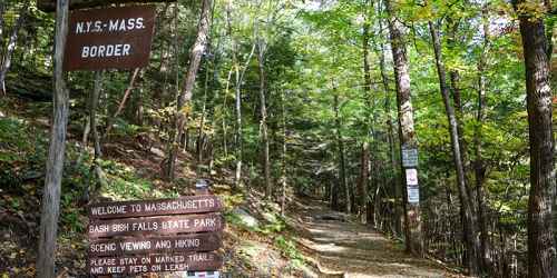
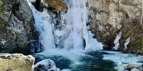
Falls Road 413-528-0330Bash Bish Falls is nestled among 30 miles of trails at Mount Washington State Forest, which includes the South Taconic Trail, and New York's Taconic State Park. Access to the Falls is via a moderately difficult uphill trail. At the top of Mount Everett you can see a vista that includes three states. - Trail Map (PDF)

Baldwinville, MA
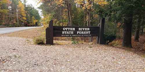
Otter River State Forest
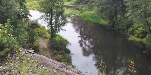
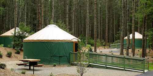
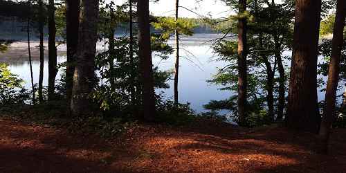
86 Winchendon Road 508-939-8962Otter River State Forest has extensive walking and hiking trails near and around Lake Dennison Recreation Area and Beaman Pond. Trails are used for cross-country skiing and snowshoeing in winter. - Trail Map (PDF)
Douglas, MA
Douglas State Forest
107 Wallum Lake Road 508-476-7872The Midstate Trail, a hiking trail through the center of Massachusetts, runs through Douglas State Forest. - Trail Map (PDF)

Gardner, MA
Dunn State Park
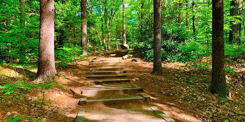
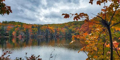
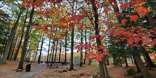
289 Pearl Street 508-632-7897Park activities are centered upon a small pond. There are several walking trails. The Woodland Trail is designed for wheelchair accessibility through the forest. Distance is one mile. The main trail is 60 feet wide, and it includes some steep areas with stairways. Length is one mile - Trail Map (PDF)
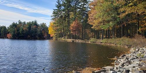

Leominster, MA
Leominster State Forest
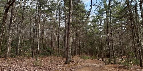
90 Fitchburg Road - Route 31 508-874-2303The Midstate Trail passes through this heavily forested property. Hiking paths are abundant at Leominster State Forest. People may do rock climbing at Crow Hill Ledges. Mountain biking is allowed, but mountain bikers may not use hiking trails. - Trail Map (PDF)
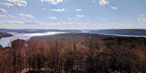
Petersham, MA
Federated Women's Club State Forest
West Street 978-544-3939This property is southwest of the Quabbin Reservoir and on the reservoir's watershed. Wooded roads pass through pine, maple, birch and hemlock groves. Good for walking and hiking and nature viewing, including passing of migratory and local fowl.
Princeton, MA
Wachusett Mountain State Reservation
345 Mountain Road 508-464-2987The reservation has 17 miles of hiking and walking trails. Views of Mount Monadnock (NH), the Berkshire Mountains, and the Boston skyline can be seen from the summit (2,006 feet).The Wachusett Mountain State Reservation is a good stop for hiking, nature study, bird watching, picnicking, and cross country skiing.
Hours: Mountain access road is open Memorial Day to the last Sunday in October. Road is open daily, 9 a.m. to sunset.
Sutton, MA
Purgatory Chasm State Reservation
198 Purgatory Road 508-234-3733A unique natural landmark, Purgatory Chasm runs for a quarter of a mile between granite walls rising as high as 70 feet. Popular with picnickers and rock-climbers alike, the Chasm is believed to have its origin in the sudden release of dammed-up glacial meltwater near the end of the last Ice Age, approximately 14,000 years ago. Trails lead to a wide variety of rock formations, with such romantic names as The Corn Crib, The Coffin, The Pulpit, Lovers' Leap and Fat Man's Misery. Recreational uses: walking, hiking, picnicking, hunting, accessible restrooms.
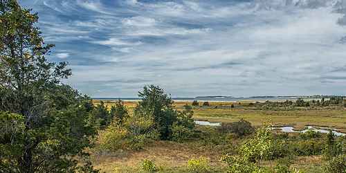
South Wellfleet, MA
Wellfleet Bay Wildlife Sanctuary
291 US Route 6 at West Road 508-349-2615This nature center offers a variety of educational programs for children and adults, including walks and workshops. Enjoy a naturalist-led bird walk on our property or listen to an evening lecture. This sanctuary has a nature center, walking trails, trail to Goose Pond, seasonal classroom, gardens, and a campground. Picnicking, birdwatching, restrooms, wheelchair accessible. Of particular interest is the boardwalk trail through the salt marsh. - Trail Info & Map
Norwell, MA
South Shore Natural Science Center
Jacobs Lane 617-659-2559Nature trails are the focal point of this site, which includes a trail for the visually impaired. Exhibits and programs are scheduled here daily.
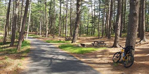
Carver, MA
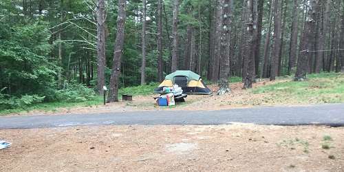
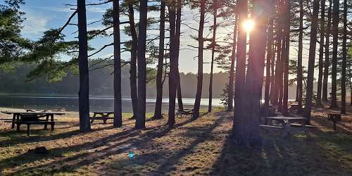
Myles Standish State Forest
194 Cranberry Road 508-866-2526Explore the natural treasures at Myles Standish State Forest, including cranberry bogs and the ecologically fragile kettle ponds, and pitch pine and scrub oak forest areas. Discover 13 miles of walking paths, or sign up for a summer interpretive program for a guided walk through the site. - Trail Map (PDF)
Hingham, MA
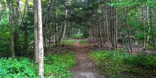
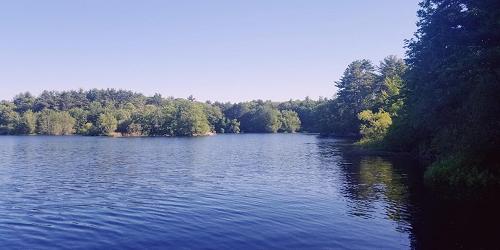
Wompatuck State Park
204 Union Street 617-895-8245Good for camping, fishing, hiking, and walking
Wooded bridle paths and hiking trails. - Trail Map (PDF) - Recommended Spring '22 Hikes (PDF)
Assonet, MA
Freetown-Fall River State Forest
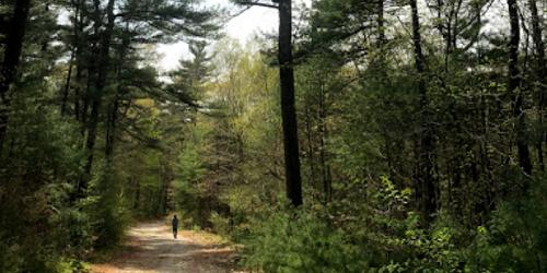
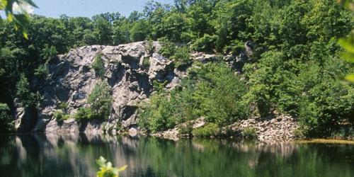
110 Slab Bridge Road 508-644-552250 miles of unpaved hiking trails lead travelers through the forests of southeastern Massachusetts. Be sure to look for Profile Rock, a natural spectacle which is said to resemble Chief Massasoit. Part of this forest belongs to the Wampanoag Nation. - Trail Map (PDF)
Plymouth, MA
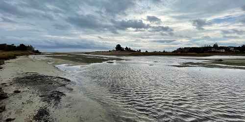
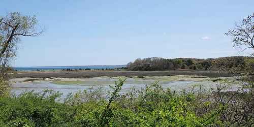
Ellisville Harbor State Park
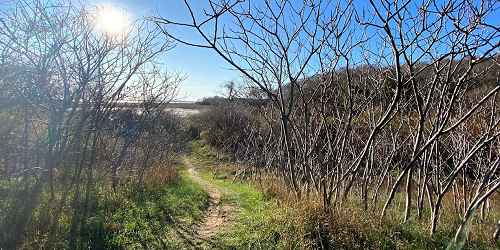
1861 State Road - MA Route 3A 508-866-2580The main trail is about one mile long; it will lead you to a rocky beach with sea creatures and harbor seals.
South Dartmouth, MA
Lloyd Center for Environmental Studies
430 Potomska Road 508-990-0505Visitors can enjoy walking trails and exhibits at this nature preserve, set on 55 acres.
Boston, MA
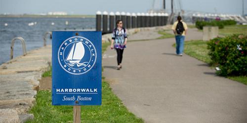
Harborwalk
Walk starts at Old State House, 206 Washington Street 617-482-1722A self-guided walk that traces the history of the Boston waterfront. The tour begins at the Old State House, brochures are available at the National Park Service Visitor's Center on State Street.
Hyde Park, MA
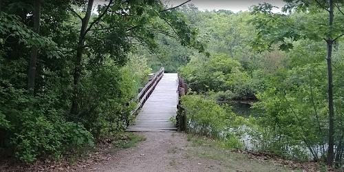
Stony Brook Reservation
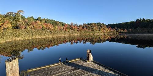
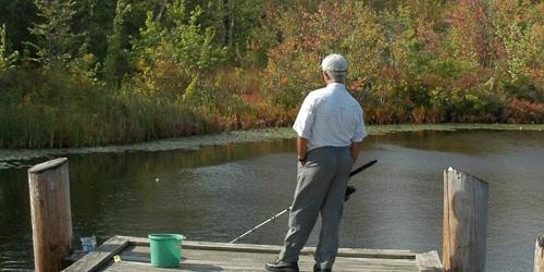
Turtle Pond Parkway 617-333-7404Sunfish and Perch await anglers in Turtle Pond at this 475-acre park and wildlife refuge, featuring fishing areas, biking and hiking trails, public swimming, and picnic areas. Programs are scheduled throughout the year.
Norfolk, MA
Stony Brook Nature Center
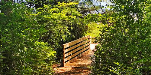
108 North Street 508-528-3140This nature center includes a self-guided hiking trail. An extensive boardwalk system helps visitors explore Teal Marsh and its wildlife. The Nature Center is currently closed for construction, but nature trails are still open to the public. Currently taking registrations for Summer Nature Camp.

South Boston, MA
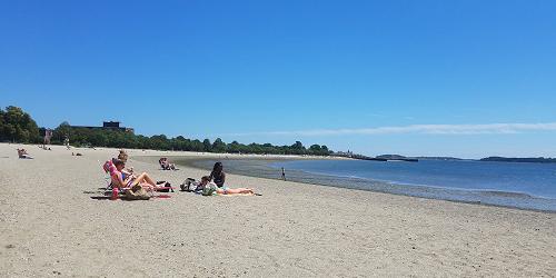
Castle Island, Pleasure Bay, M Street Beach & Carson Beach
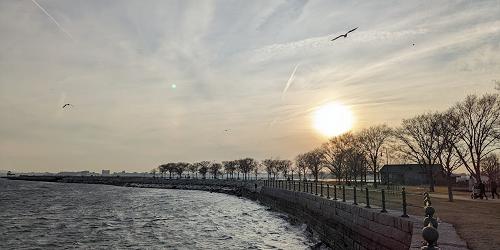
2010 Day Blvd. 617-727-5290Bayside string of parks and beaches easily accessible to Boston; walking, swimming, fishing
Fort Independence has two main hiking trails; 1.8-mile Pleasure Bay Loop, overlooking scenic Pleasure and Dorchester Bays, and .79-mile-long Castle Island Loop, which leads you in a ring around the Fort. You'll find a telephone located halfway 'round the Bay trail at Sugarbowl Shelter. - Park Mark (PDF)
Ashfield, MA
Bear Swamp
Hawley Road 413-684-0148Visitors to Bear Swamp can explore three miles of trails that lead past an old beaver dam resting atop an old stone milldam, a variety of ferns and woodland wildflowers, and scenic vistas that offer views of nearby apple orchards and the Green Mountains of Vermont beyond. Bear Swamp also features excellent bird watching and picnic tables at the Apple Valley Overlook.

Boston, MA
Literary Trail of Greater Boston
Omni Parker House - 60 School Street 617-350-0358A tour for everyone who loves history, good books, and beautiful settings. Discover the homes, gathering places, and landscapes of America's most beloved authors on a guided tour, or on your own with the Self-Guided Tour Package. Travel from Boston to Cambridge and Concord and visit sites such as Walden Pond, Longfellow House, Concord Museum, and Orchard House. Tours depart from the Omni Parker House the second Saturday of the month, beginning August.
Mashpee, MA
Lowell Holly
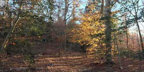
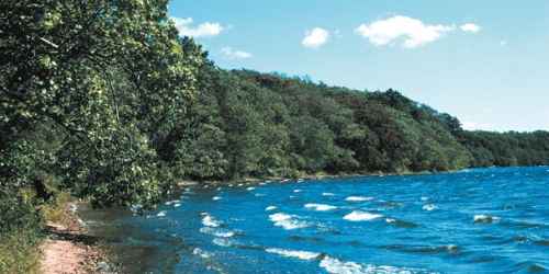
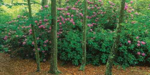
South Sandwich Road 508-636-4693Four miles of foot trails and old carriage roads offer walking of moderate difficulty among groves of holly and rhododendron. Views of freshwater ponds.
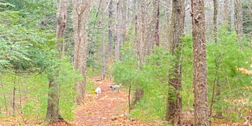
Dover, MA
Chase Woodlands
Farm Road 508-785-0339Chase Woodlands’ 2-½ mile network of gently sloping paths wind through peaceful groves of white pine, beech, hemlock, and yellow birch. As in most of Massachusetts, this woodland consists of second- and third-growth trees, the original virgin forests having been felled to clear land for agriculture in the late eighteenth and early nineteenth centuries. Picturesque stone walls traverse the woods, marking former farm fields from the property’s agricultural past.
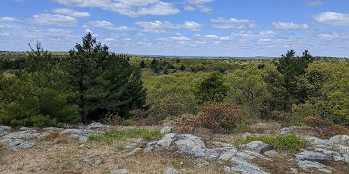
Medfield, MA
Fork Factory Brook
Hartford Street 508-785-0339Fork Factory Brook’s easy network of trails track the edges of lovely hay fields and meander through wooded upland offering views of surrounding forested wetlands and the remains of a 19th-century pitchfork mill. For a brief time after the Civil War, owners used the mill for a paper cutting enterprise, but it fell into disuse with the advent of coal-power. When Main Street was widened in 1927, the mill was dismantled and the granite reused to construct a house on Foundry Street. Much of the mill site now sits under Route 109, and all that remains is its broad earthen dam and stone raceway.
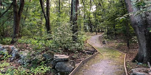
Carlisle, MA
Malcolm Preserve
Stearns Street 978-840-4446The Malcolm Preserve provides a northern gateway to some 1,300 acres of conservation land. A short hiking trail connects the Malcolm Preserve with Two Rod Road, which leads through historic Estabrook Woods. The land comprising the Malcolm Preserve and the adjacent Malcolm Meadows development was once part of a 38-acre farm which raised fruit crops, including raspberries, strawberries, apples, peaches, and pears, as well as vegetables and cut flowers for local markets.
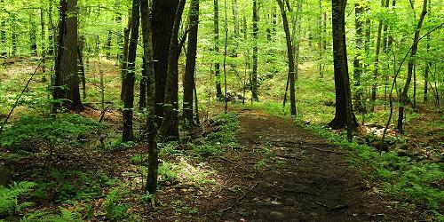
Medfield, MA
Medfield Rhododendrons
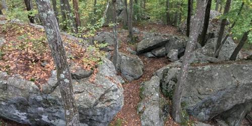
Woodridge Street 508-785-0339Home to important and rare stand of Rhododendron maximum, the great laurel or rosebay rhododendron, one of only three species of evergreen rhododendrons native to eastern North America. Though listed today as a "threatened" species, rosebay rhododendrons were once more common in Massachusetts; approximately half of the historical populations in Massachusetts have been lost. Currently, there are seven known populations, and the Medfield Rhododendrons colony represents the largest and easternmost population in Massachusetts.
Medfield, MA
Noon Hill
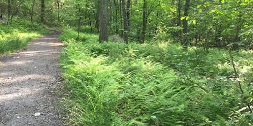
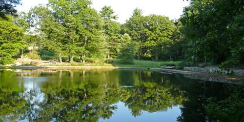
Noon Hill Road 508-785-0339The midday sun passes over the ridge of Noon Hill, giving the Reservation its name. Follow the trail leading to the 370-foot peak, and enjoy sweeping views south across the rolling hills of Walpole and Norfolk. Noon Hill’s 4 ½ miles of trails along forested ridges and slopes feature pine, beech, birch, and hemlock, offer glimpses of turn of the century low stone walls, and in spring, the forest floor is scattered with wildflowers. Picturesque Holt Pond was created around 1764, when Sawmill Brook was dammed to create a mill pond.
Medfield, MA
Rocky Woods
Hartford Street 508-785-0339Just 30 minutes from downtown Boston
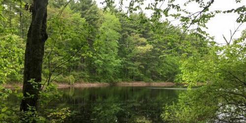
Rocky Woods features over six miles of former woods roads and footpaths rambling through rolling hills of white pine and red oak. Explorers of the four ponds on the reservation may find bullfrogs and painted turtles, and visitors can enjoy catch-and-release fishing from these shores. Recent landscape renovations have created a scenic meadow, grassy common areas, sandy shorelines, and plantings of ornamental shrubs. Restrooms, picnic tables and a pavilion are onsite, and future plans include creating a visitor center and improved children's play area. - Trail Map (PDF) - Campsite Map (PDF)
Medfield, MA
Shattuck Reservation
121 Causeway Street 508-785-0339Across the street from Noon Hill, Shattuck Reservation comprises a forested upland neck of oak and pine overlooking a wet meadow and red maple swamp. Visitors can enjoy hiking, horseback riding and bird watching. A 1.5 mile loop trail leads from the neck across wetlands to two islands that offer views of the Charles River, and the reservation's old stone walls indicate that it was once nineteenth-century pasture.
Dartmouth, MA
Slocum’s River Reserve
Horseneck Road 781-821-2977Formerly known as Island View Farm, Slocum's River Reserve includes mature woodlands, agricultural fields, and pastures that slope down to the western bank of the Slocum's River. Two miles of easy trails cross the Reservation and protect more than 3,000 feet of frontage along the river. Adjoining private farmland and pastures produce corn, alfalfa, and horticultural nursery stock and are used to graze livestock.
Marshfield, MA
Two Mile Farm
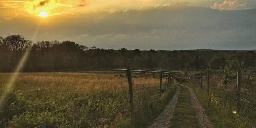
Union Street 781-821-2977Deriving its name from rights granted in the late 1700’s to the Town of Scituate to harvest salt hay "two miles along the river and half a mile inland on each side," Two Mile Farm preserves one of the region's most scenic and dramatic river views. Trails pass through a white pine woodland, tracking the toppled remains of old stone walls and former farm cart paths. Each trail slopes down to the marsh's edge to a view of the grassy banks of the North River, a designated National Natural Landmark, and the Stetson Meadows beyond.
Hingham, MA
Weir River Farm
Turkey Hill Lane 781-740-7233Originally part of a picturesque, early-twentieth-century country estate, Weir River Farm encompasses 75 acres of fields and pastures, woodlands, and a complex of farm and estate buildings, including barns and a carriage house. On a clear day, visitors can view Boston Harbor and the North Shore from the top of Turkey Hill. The farm is being managed to preserve its historic pastoral character, and offers public programs throughout the year, as well as opportunities for hiking, bird watching and picnicking.
Cohasset & Hingham, MA
Whitney & Thayer Woods
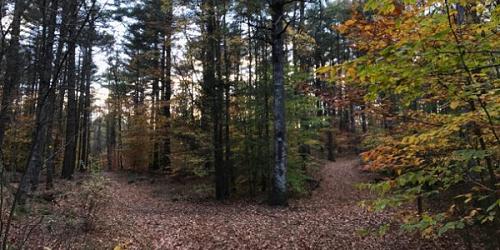
Route 3A at Howes Lane 781-740-7233The ten miles of trails at Whitney & Thayer Woods include a memorial walk through a lovely stand of flowering shrubs, Ode's Den, (named after Theodore "Ode" Pritchard, who lived under one of the boulders after losing his home in 1830), and the 187-foot summit of Turkey Hill, affording spectacular views of Cohasset Harbor. Visitors can also view a cinderblock NIKE building, once part of an anti-missile radar control station sited here during the Cold War to thwart potential nuclear attack by the Soviet Union.
Hingham, MA
World’s End
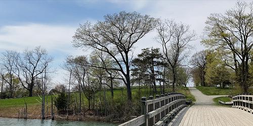
250 Martin’s Lane 781-740-6665This beautiful property is a 250-acre coastal park where 4.5 miles of walking paths and 19th-century carriage paths meander among rolling hills, rocky shorelines, and open fields. The tree-lined carriage paths were designed by landscape architect Frederick Law Olmsted. Walkers enjoy views of the Boston skyline, which is 15 miles away, across a cove of Massachusetts Bay. World’s End is managed by the Trustees of Reservations.
Hours and Admission: World’s End is open to visitors year-round, 8am to sunset. Admission is $8 on weekends and $6 during the week. Parking is $10 for non-members - advance parking passes are required on weekends and strongly recommended during the week.
New Salem, MA
Bear’s Den
Neilson Road 978-840-4446On its way to the Quabbin Reservoir, the Middle Branch of the Swift River passes through the steep granite cliffs of Bear's Den. A short trail forks at the entrance - the left spur leading to the gorge, the right leading to the stream bed below the falls. In 1675, the great chief King Philip met here with neighboring chieftains to plan attacks on Hadley, Deerfield, and Northampton. A black bear shot on the property gives the Reservation its name, though more romantic - yet unsubstantiated - stories exist.
Petersham, MA
Brooks Woodland Preserve
East Street 978-840-4446Once home to Nipmuc, the Brooks Woodland Preserve is an undisturbed forest of red oaks, hemlocks, and white pine. Visitors may hike or cross-country ski along 13 miles of woodland trails and former woods roads. Old stone walls cross the forest floor, passing through patches of maidenhair ferns, winterberry, and partridgeberry. Along parts of the Swift River, Moccasin Brook, and Roaring Brook, beaver dams have created swamps, and a cascade of glacial boulders provide dens for porcupines. Six early-nineteenth-century farmsteads can be rediscovered in the Preserve by their remaining fieldstone cellar walls, porch steps, and chimney supports.
Lancaster, MA
Dexter Drumlin
George Hill Road 978-840-4446A favorite spot for winter sledding, Dexter Drumlin is maintained as a graceful, open meadow with lovely views of historic Lancaster and its surrounding farmland. A narrow mowed footpath traverses the crest of the hill and loops back along the stream to the entrance affording the visitor the opportunity to view grassland birds making use of the drumlin and the adjacent floodplain fields for nesting and raising their young.
Leominster, MA
Doyle Reservation
Lindell Avenue 978-840-4446Pierce Park at the Doyle Reservation was part of a former turn-of-the-century grand estate featuring a twenty-nine-room stucco mansion with a ballroom and conservatory, a matching stable, extensive horse paddocks, Pierce Pond (across Merriam Avenue), and an extensive system of bridle paths through woodland and around the pond. Ten acres of the original landscaped grounds have been restored as a neighborhood park, and most of the trees and shrubs are from the estate's original design and plantings.
Phillipston, MA
Elliott Laurel
Route 101 978-840-4446Once pastureland, Elliott Laurel is now a quiet woodland traversed by old stone walls. Its scenic foot trail crosses an open field before climbing a rocky hillside to a south-facing overlook, then leads gently through shaded woods dotted by white pines and hemlocks before descending past rock outcrops to a red maple swamp. The return leg of the trail passes thickets of spring-blooming mountain laurel (Kalmia latifolia) for which the Reservation is named. At peak in mid-June, the pink flower buds of mountain laurel gradually open to reveal brilliant white flowers, brightening the shady woodland floor.
Royalston, MA
Jacobs Hill
Route 68 978-840-4446Get back in touch with nature
Visitors to Jacobs Hill can hike two miles of trails that closely track the ridgeline of the hill, passing through a forest of beech, maple, ash, and birch, and connecting two spectacular overlooks. Both trails take in impressive views of the forested slopes of Tully Mountain, Mount Grace, and the Berkshire Hills. Further south along the trail, a stream tumbles over the ridgeline, creating the dramatic Spirit Falls, and at the eastern edge of the Reservation lies the stream’s source: Little Pond, a classic northern bog.
Petersham, MA
North Common Meadow
Main Street 978-840-4446Once pastureland, North Common Meadow now preserves the rural charm and character of Petersham Center. The upper meadow produces hay that is cut by a local farmer, and the lower meadow supports a variety of wildflowers and has a small lily-covered pond. From the field adjacent to the Petersham Historic Society on Main Street, visitors can take in a sweeping view of Mount Wachusett.
Monson, MA
Peaked Mountain
Butler Road 978-840-4446From the 1,227-foot summit of Peaked Mountain, a panoramic view unfolds taking in Connecticut's Shenipsit State Forest to the south, Mount Monadnock to the north, and Mount Wachusett to the northeast. In between lies a sweep of rolling New England countryside with forested hills and ridges, valley farms, and small villages. The Valley View overlook provides views of nearby Boulder Hill and the City of Springfield to the west. Other trails at peaked Mountain encircle tranquil Lunden Pond, where visitors might glimpse beavers, herons, and other wildlife drawn to the quiet waters.
West Brookfield, MA
Rock House Reservation
Route 9 978-840-4446Located near two long Native American footpaths, the large size and height of the Rock House’s southern exposure made it an excellent winter camp for Native Americans, suggesting its use as a trail camp and meeting place. Following the arrival of colonists in the mid-seventeenth century, the area forests were gradually cleared for farming. Today, a forest of pine and mixed hardwoods has reclaimed the landscape, and visitors can hike along three miles of trails that take in Carter Pond, the Rock House, Balance Rock, and stands of red pine and spruce.
Royalston, MA
Royalston Falls
Falls Road 978-840-4446Concealed within a dense forest
The rushing waters of Royalston Falls have carved a deep gorge out of granite. Here, Falls Brook plunges forty-five feet into a basin. In summer, ferns cling to the chasm's walls; in winter, freezing spray creates a fantastic landscape of ice. Upstream, the swirling brook has carved natural bridges through the bedrock. The wild and undisturbed appearance of the area today belies the landscape's history. For many years, the land was cleared and farmed, and during the 19th century, was also the site of town picnics and gatherings in the summer months.
Petersham, MA
Swift River Reservation
Nichewaug Road 978-840-4446Swift River Reservation welcomes visitors with the opportunity to hike, mountain bike, cross-country ski, and horseback ride over 439 forested acres. Located where the East Branch of the Swift River links all three tracts of the river, the reservation’s natural features include extensive rocky ledges, ravines, open fields, a beaver-dammed swamp, vernal pools, and forest edges along woods roads. In the late 1700’s, much of the reservation was cleared for farms that were largely abandoned by the early 1900’s, and the forest returned only to be decimated by a major hurricane in 1938. Today most of the Reservation's mixed hardwood forest dates to this hurricane.
Sheffield, MA
Bartholomew’s Cobble
Weatogue Road, Ashley Falls 413-229-8600This National Natural Landmark is home over 800 species of plants, including one of North America's greatest diversities of fern species, as well as abundant wildflowers. The Reservation is named for two rocky knolls that rise above the Housatonic River, and the high point, Hurlburt's Hill, rises 1,000 feet to a twenty-acre field on the Massachusetts-Connecticut border that offers panoramic views northward up the Housatonic River Valley. Visitors will enjoy hiking this diverse woodland, and the many public programs that are presented throughout the year.
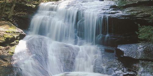
Ashfield, MA
Chapelbrook
Williamsburg Road 413-684-0148At the core of Chapelbrook is Pony Mountain, whose nearly vertical 100-foot rock face offers a challenge to very skilled, technical rock climbers. A gentle, half-mile trail leads around the western side of Pony Mountain to its summit, offering unobstructed views south toward the Berkshire foothills. Chapelbrook is also popular for its sometimes-torrential Chapel Falls. The steady trickle of Chapel Brook becomes a deluge in spring, but in summer, the pools that form under the falls offer a cool, welcome dip.
New Marlborough, MA
Dry Hill
Old North Road (Harmon Road) 413-298-3239About 200 acres of forest can be traversed on a mile-long loop trail that traces a small brook and passes vernal pools and other wetlands. The trail passes a stream, several spring ponds, and a red maple and hemlock swamp. An oak forest covers the upper slopes and ridge tops. Dense thickets of mountain laurel bloom in late June. Trails are moderately difficult.
Open year-round, daily, sunrise to sunset. Allow a minimum of one hour for the walk.
Information: www.thetrustees.org/places-to-visit/berkshires/dry-hill.html
Williamstown, MA
Field Farm
Sloan Road 413-458-3144Field Farm’s over four miles of trails offer excellent hiking, cross-country skiing, and snowshoeing opportunities in the shadow of Mount Greylock, Massachusetts’ highest peak. A center of agriculture since at least 1750, Field Farm also features a modernist house now utilized as a bed and breakfast (The Guest House at Field Farm), and the 1965 Ulrich Franzen designed “Folly” – a pinwheel shaped guest house open for tours during the summer.
Middlefield, MA
Glendale Falls
Clark Wright Road 413-684-0148Fed by more than five square miles of watershed, Glendale Falls is one of the longest and most powerful waterfall runs in Massachusetts. In spring, the waters of Glendale Brook roar over rock ledges more than 150 feet high before joining the Westfield River. A quarter-mile trail leads to bottom of the falls for viewing. The Reservation was once part of the historic 18th-century Glendale Farm, which operated a gristmill whose foundation can be explored in the woods just north of the falls.
New Marlborough, MA
Questing
New Marlborough Hill Road 413-298-3239A seventeen-acre upland field of native meadow wildflowers attracts a variety of dragonflies and butterflies
Questing features two miles of trails perfect for hiking or cross-country skiing, extensive tracts of hardwood forest, and a seventeen-acre field of native meadow wildflowers that attracts a variety of dragonflies and butterflies. Cellar holes and stone walls, tell the story of the 200-year-old settlement known as Leffingwell, where the first non-Native American children were born in Berkshire County. This settlement was abandoned in the late nineteenth century as farmers migrated to the Midwest.
Seekonk, MA
Caratunk Wildlife Refuge - Audubon Society of Rhode Island
301 Brown Avenue 508-761-8230This 196-acre refuge is easily accessible from Providence, and features fields, woods and a large nature center. From I-95 take the Broadway exit, Exit 6. in East Providence. Bear left at the bottom of the ramp, onto Warren Avenue. Turn left at the first set of lights, onto Rte. 114 North. Travel approximately 2 miles and then turn right onto Rte. 152 North. Continue on Rte. 152 across a reservoir and into Seekonk. After you pass the middle school on the left, turn right onto Brown Avenue. Caratunk is 7/10 of a mile on the right.
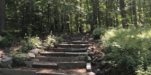
Milton, MA
Blue Hills Trailside Museum
1904 Canton Avenue 617-333-0690Museum offers hiking trails, live animals and regularly scheduled programs. There is an admission charge.
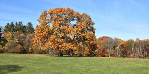
Milton, MA
Governor Hutchinson’s Field
Adams Street 781-821-2977Named for Governor Thomas Hutchinson, the last Royal Governor of the Massachusetts Bay Colony, this hilltop meadow offers views of the Neponset River, its tidal salt marshes, the Boston skyline, and the Boston Harbor Islands. Hutchison’s over royalist leanings made him the object of public ridicule in the years leading up to the Revolutionary War, and in 1743 he built for his family a modest country estate on Milton Hill to escape the city. All that remains of the estate today is the field and a "ha-ha" which formed the western boundary of the formal garden.
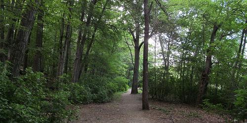
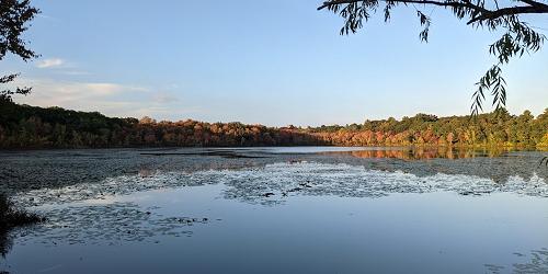
Chestnut Hill, MA
Hammond Pond Reservation
Hammond Pond Parkway 617-333-7404Visitors to this small nature preserve can enjoy fishing, hiking and biking trails, and picnic areas.
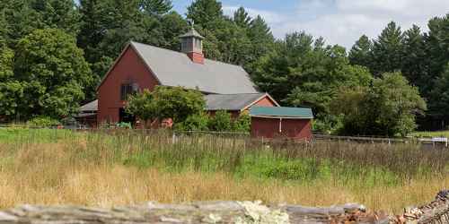
Lincoln, MA
Drumlin Farm Wildlife Sanctuary
208 South Great Road 617-259-2200Visitors to this nature preserve will enjoy hiking trails, live farm animals and hayrides. During the winter season sleighrides are offered. - Trail Info & Map
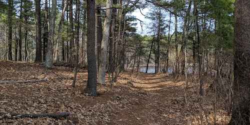
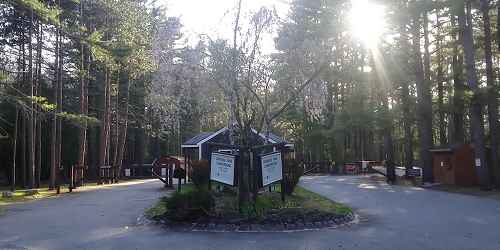
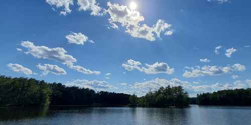
Andover, MA
Harold Parker State Forest
133 Jenkins Road 508-686-3391Walking and hiking and mountain biking may be done in this large, forested property only 20 miles from the Greater Boston area. - Trail Map (PDF)
North Andover, MA
Ward Reservation
Prospect Road 978-682-3580The focal point of the Ward Reservation is 420-foot Holt Hill, the highest point in Essex County. At the summit, visitors can see Boston's skyline and the Blue Hills to the south, and explore the "Solstice Stones”, a compass-like arrangement of stones set on the peak. The narrow stone in the NE quadrant points in the direction of where the sun rises on the summer solstice (around June 21), the longest day of the year. Located at the foot of Holt Hill is Pine Hole Bog, a rare quaking bog that features concentric rings of distinct vegetation, each characterized by different growing conditions.
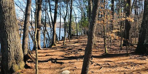
North Andover, MA
Weir Hill
Stevens Street 978-682-3580Weir Hill’s (pronouced "wire hill") four miles of easy hiking trails meander over a double drumlin that rises 305 feet, includes more than a mile of scenic shoreline on Lake Cochichewick, and a broad meadow that provides magnificent views of Stevens Pond and the Merrimack Valley. The Reservation is named for the fish weirs (woven fences with stakes) that were once submerged by Native Americans in Cochichewick Brook to catch alewives before they reached Lake Cochichewick to spawn. Picnicking, bird watching, and cross-country skiing in winter invite visitors year round.
Essex, MA
Stavros Reservation
Island Road 978-526-8687Stavros Reservation’s most popular feature is White's Hill, a scenic overlook that offers panoramic views of Crane Beach, the Crane Wildlife Refuge, and Halibut Point. An easy trail leads to the fieldstone base of a former fifty-foot-high tower constructed in the 1890s for property owner Lamont G. Burnham, Esq. The structure was used as a pumping tower to supply water to the Burnham farm, and it was said that Mr. Burnham stationed a sentry there to lookout for coal barges rounding Halibut Point. When the sentry identified a boat belonging to Burnham, a fast horse would be dispatched to Newburyport to put a price on the cargo.
Ipswich, MA
Appleton Farms & Grass Rides
Route 1A 978-356-5728Established in 1638, Appleton Farms is one of the oldest continuously operating farms in the United States. Scenic views of rolling grasslands, grazing livestock, ancient stone walls, four miles of tree-lined carriage paths, and historic farm buildings welcome visitors for hiking, bird watching, horseback riding, cross-country skiing and snowshoeing. Farm operations include a community-supported agriculture program, a retail feed and mulch haying operation, livestock and dairy programs, and educational programs are offered to the public throughout the year.
Ipswich, MA
Crane Memorial Reservation
Argilla Road 508-356-4351Set on a barrier beach, this preserve features nature trails, and is the perfect site for bird watching.
Lynn, MA
Lynn Woods
Great Woods and Penny Brook Roads 617-593-7773This 2,200-acre municipal forest is the perfect spot for hiking, rock climbing, bird watching, cross-country skiing or just enjoying the view. A rose garden adds to the scenery.
Hours: Sunrise to sunset. No charge.
Manchester-by-the-Sea, MA
Coolidge Reservation
Summer Street (Route 127) 978-356-4351A short easy hike to the tip of Coolidge Point rewards the visitor with the magnificent Ocean Lawn views of Magnolia Harbor, Kettle Island and Great and Little Misery Islands. At one time, this vast lawn was the site of the Coolidge family's "Marble Palace," a Georgian-style mansion designed in 1902 by Charles McKim. The Ocean Lawn is now an open, grassy expanse broken only by large shade trees. Picturesquely edged by rocky headlands that extend into the sea, it is bordered on the west by Kettle Cove and Black Beach, and is a classic New England landscape, perfect for picnicking.
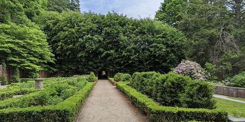
Newburyport, MA
Maudslay State Park
74 Curzon Mill Road 978-465-7223This park features gardens from the 1800s, other plantings, rolling meadows, and huge groves of mountain laurel. Loved by visitors for the may-to-June blooming period of large beds of azaleas and rhododendrons. An exquisite place for walking, biking, and informal picnics. Portions closed in winter, but still fine for walks. Special use permits allowed for weddings. - Trail Map (PDF)
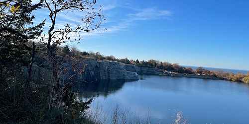
Rockport, MA
Halibut Point Reservation
13 Gott Avenue 978-526-8687Easy hiking trails lead to scenic vistas, a low rocky coastal shelf with impressive crashing waves, and interesting tide pools. Cooperatively managed with adjacent Halibut Point State Park, the two miles of trails edge the former Babson Farm Quarry, now filled by natural underground springs. Granite quarried here at the turn of the 20th century paved thousands of city streets and built bridges, tunnels, monuments, warehouses, and buildings, such as Boston's Custom House Tower.
Salem, MA
Essex National Heritage Area
New Liberty and Essex 508-740-1650The area offers visitors three Heritage Trails to walk: The maritime trail, the early settlement trail, and the industry/textile and leather trail.
Salem, MA
Misery Islands
Salem Sound 978-526-8687Ruins of a turn-of-the-century summer colony...
Explore Great and Little Misery Islands for stunning coastal views, scenic hiking trails, ruins of a turn-of-the-century summer colony, even the remains of a shipwreck! A two-mile system of trails provides access to most parts of Great Misery Island, and Little Misery is accessible by wading across a narrow, shallow channel at low tide. The name Misery Islands arose from the ordeal of shipbuilder Robert Moulton, who became stranded on the islands for three miserable days during a December storm in the 1620s. Today Misery Islands are easily accessible by boat or by ferry service from Salem.
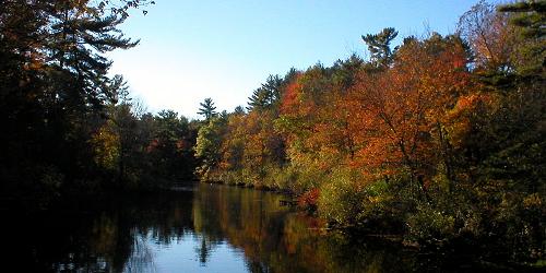
Topsfield, MA
Bradley Palmer State Park
40 Asbury Street 508-887-5931This expansive park of generous meadows has many shaded walking trails and old carriage roads. - Trail Map (PDF)
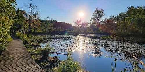
Topsfield, MA
Ipswich River Wildlife Sanctuary
87 Perkins Row 978-887-926410 miles of trails and an observation tower are set in this natural preserve. - Trail Info & Map
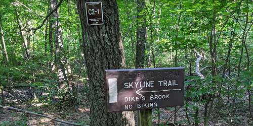
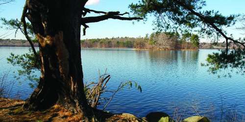
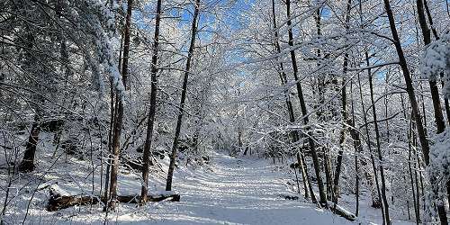
Stoneham, MA
Middlesex Fells Reservation
4 Woodland Road 617-727-1199Natural refuge set on over 2,000 acres. Visitors here can enjoy biking, hiking and cross-country ski trails. Canoeing, fishing, and swimming areas are offered, as well as a visitor's center with historic information. - Trail Map (PDF)
Martha’s Vineyard, MA
Menemsha Hills
North Road, Chilmark 508-693-3678Prospect Hill is the second-highest elevation on Martha’s Vineyard. It has three miles of trails through wetlands, woodlands, coastal plain, and a rocky seashore. Views from the heights are magnificent. Open year-round, daily, sunrise to sunset. Allow a minimum of 90 minutes to walk.
Directions: Starting from State Road in West Tisbury, turn right onto North Road heading westerly toward Chilmark and follow for five miles. Entrance, with parking spaces, is just past Tabor House Road, at right.
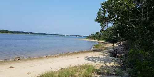
Edgartown, MA
Felix Neck Wildlife Sanctuary
100 Felix Neck Drive 508-627-4850Vistors to this nature center will find plenty of self-guided trails, as well as live native birds. Of particular interest are ospreys nesting in their natural environment. There is an admission fee. - Trail Info
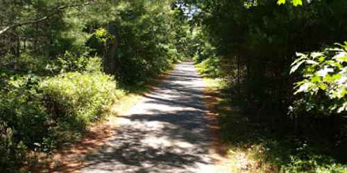
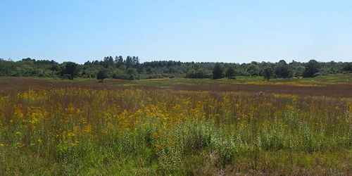
Edgartown, MA
Manuel Correllus State Forest
Barnes Road 508-693-2540Fifteen miles of trails through this interesting preserve of many island ecosystems. - Trail Map (PDF)
Vineyard Haven, MA
Cedar Tree Neck Wildlife Sanctuary
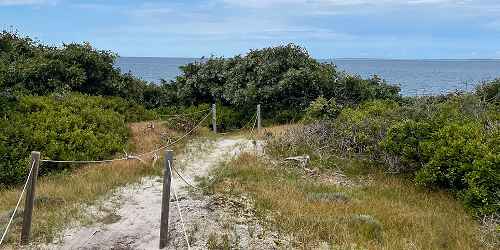
Indian Hill Road 508-693-5207This preserve along the Martha's Vineyard north shore features several trails with numerous scenic views.
Wauwinet (on the island of Nantucket), MA
Coskata-Coatue Wildlife Refuge
Wauwinet Road 508-228-5646Coskata-Coatue Wildlife Refuge is known for its historic lighthouse, white sand beaches, and world-class fishing. Rolling maritime dunes cover more than 200 acres. Refuge includes 16 miles of over-sand vehicle and walking trails and beach front. Gray and harbor seals feed in the Great Point riptide. Facilities include public restrooms between the Wauwinet Gatehouse and Great Point Lighthouse and at the lighthouse. Both are open May 1 to October 31. Bike rack at the Wauwinet Gatehouse. Seasonal tours of the Great Point Lighthouse and the natural wonders of the refuge. Hours: Year-round, daily, 24 hours (10 p.m.-5 a.m. - fishing access only). Cost: Free to all pedestrians and boaters.
Chatham to Provincetown, MA
Cape Cod National Seashore
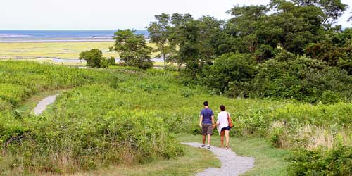
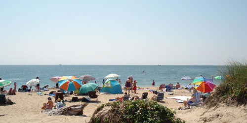
Various Locations 508-255-3421Visitors to the Cape Cod National Seashore may walk on the many hiking trails in the park, and also may walk on the bike trails.
Popular Trails: Fort Hill Trail (Eastham) - Nauset Marsh Trail (Eastham) - Doane Trail (Eastham) - Atlantic White Cedar Swamp Trail (Wellfleet) - Great Island Trail (Wellfleet) - Beech Forest Trail (Provincetown)
Dennis, Harwich, Brewster, Orleans, Eastham, and Wellfleet, MA
Cape Cod Rail Trail
508-896-3491The Cape Cod Rail Trail follows a former railroad bed for 22 miles through the towns of Dennis, Harwich, Brewster, Orleans, Eastham and Wellfleet. Its paved surface, few hills, and well-marked automobile crossings make it ideal for cyclists. The trail has a wide unpaved shoulder on one side to accommodate horseback riding, walkers, and runners.
There are many opportunities to get off the trail and visit a beach. Food and water are available and public restrooms can be found at Nickerson State Park, Salt Pond Visitors Center at Cape Cod National Seashore and the National Seashore Headquarters. Bike rentals are available at many points along the way.
See trail website for list of free parking lots. Trail Map
MA
Cape Cod National Seashore Bike Trails
508-771-2144Cape Cod has very extensive biking trails, which also are used for walking. See a full description on our Biking page.
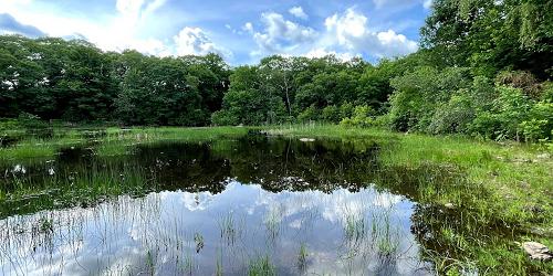
Waltham, MA
Beaver Brook Reservation
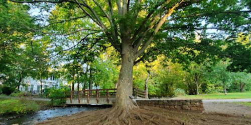
Mill Street 617-727-5290Small nature preserve offers biking paths, fishing and swimming areas, interpretive programs, and small historic sites. Full toilet facilities are available.
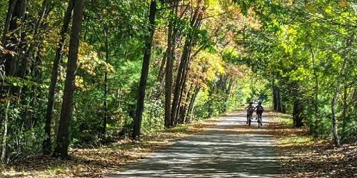
Arlington to Bedford, MA
The Minuteman Bikeway
617-641-4891The Minuteman Bikeway passes through the area where the American Revolution began in April 1775. Built on an inactive railroad, the trail is used by local residents as a convenient, eco-friendly way to reach train stations. The path is 12 feet wide, plowed in the winter, and includes lots of stops for refreshments and restrooms at Depot Park in Bedford, the Lexington Visitor’s Center, Alewife Station, and business districts along the bikeway. Trail access in Bedford is available at the intersection of South Road and Loomis Street (exit 31B from I-95); at Lexington Center and Arlington Center, and at the Alewife T-Station. - Trail Map
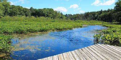
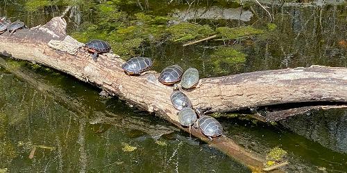
Natick, MA
Broadmoor Wildlife Sanctuary - Mass. Audubon Society
280 Eliot Street 508-655-2296At this sanctuary, visitors can enjoy nine miles of hiking trails, in addition to lectures and other programs in a renovated horse barn. - Trail Info & Map
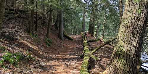
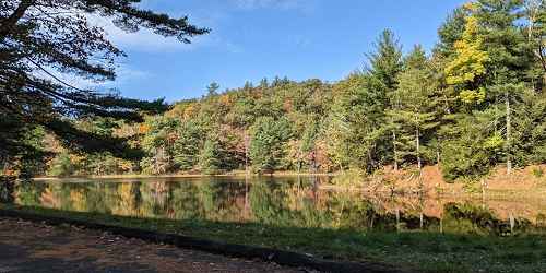
Brimfield, MA
Brimfield State Forest
86 Dearth Hill Road 413-267-9687At Brimfield State Forest, families and groups can walk through mile after mile of green life. Discover something new at every turn along brooks, streams, and the perimeter of Dean Pond, where you can rest at the comfort station. - Trail Map (PDF)
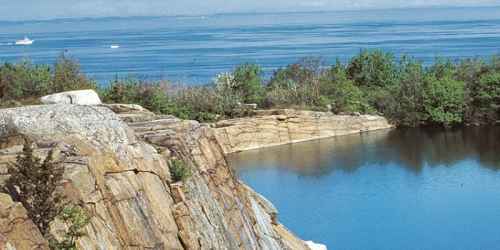
Rockport, MA
Halibut Point State Park
Gott Avenue 508-546-2997This beautiful promontory above the Atlantic and just outside the town of Rockport is wonderful for walking and enjoying nature. The Sea Rocks property, next to the state park, also welcomes people for hiking, bird watching, and picnics. - Park Map (PDF)
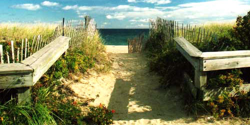
Salisbury, MA
Salisbury Beach State Reservation
1 Beach Road - Route 1A 508-462-4481Boardwalks over the dunes offer a wonderful way to easily get out into the dunelands for gorgeous strolls among spectacular vistas.
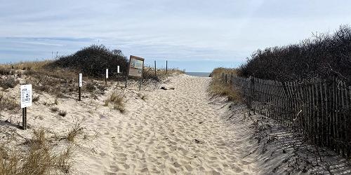
Ipswich, MA
Sandy Point State Reservation
Parker River Wildlife Refuge, Refuge Road 508-462-4481Beautiful barrier island and ocean beach for walking, birdwatching
Sandy Point is part of Plum Island, a beautify barrier island with a coastal beach. People enjoy the property for walking, beachcombing, fishing, and birding. It is the home and nesting region for the piping plover. Visitors must enter through the adjacent Parker River National Wildlife Refuge. Parking lots are available, but they can fill up, and when this happens the reservation is temporarily closed. Pedestrians may enter the beach but muse avoid fenced areas to protect birds and dunes. Hours: sunrise to sunset.
Chelsea, Medford, & Somerville, MA
Mystic River Reservation
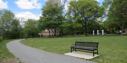
617-727-5380Series of parks and green spaces along Mystic River; accessible by MBTA trains; walking, biking, picnicking, swimming
The Mystic River Reservation is a string of parks and green spaces along the Mystic River. There is plenty of space for walking and jogging along the river front. These green spaces also are accessible from Boston and Cambridge by MBTA commuter trains.
Quincy, MA
Quincy Shores Reservation
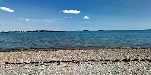
Quincy Shore Drive 617-727-5290The two-mile beach at Quincy Shore Reservation is popular for its jogging and biking. Caddy Park, at the south end of the beach, has 15 acres of fields and marsh, as well as a play area, lookout tower, bath house, and picnic tables. The site which has a short loop trail, offers views of Quincy Bay and 144-acre Squantum Marsh. To the north is Moswetuset Hummock, a a mix of woodland trails and marshland. No dogs allowed on beach May 1 through September 15. Accessible by the Boston MBTA light rail system.
Hours: Year-round, dawn to dusk. Free on-site parking is available.
Edgartown, MA
Cape Poge Wildlife Refuge, Wasque Reservation, East Beach
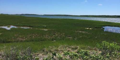
Dike Road - on Chappaquiddick Island 508-627-7689Fourteen miles of trails for hikers and over sand vehicles through marsh meadows and on sandy barrier beaches. Wildlife and coastal scenery. Island can be reached only by boat or ferry out of Edgartown. - Trail Map (PDF)
Edgartown (on Martha's Vineyard), MA
Norton Point
end of Katama Road 508-627-7689This 2.5-mile-long strip of sand and dunes linked Martha's Vineyard and the island of Chappaquiddick until 2007, when a storm breached in the barrier beach. There are 2 miles of over sand-vehicle trails and 4.5 miles of walking trails and sandy roads in the upland area.
Open year-round, daily. Dogs must be kept on a leash. Free for pedestrians. Oversand vehicle (OSV) permits are required.
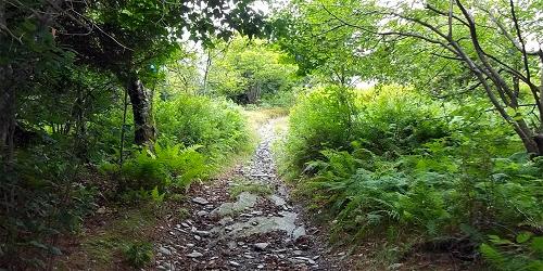
Williamstown to Pittsfield, MA
Taconic Crest Trail
203-788-7665This is a 35-mile north/south trail with great vistas. The trail meanders in or near western Massachusetts, from Williamstown to Pittsfield. The trail heads up into Vermont and moves back and forth along the New York and Massachusetts state borders. Petersburg Pass adjacent to Williamstown is the most popular starting point. A wheelchair-accessible picnic area and restroom are located nearby.
How to Find It: From Route 7 in Williamstown, MA, turn onto Route 2 west at the A-Frame Bakery. At the top of the hill is a large parking area on the left. Park there, and cross the road to get onto the trail head to the Snowhole near Vermont state line or just head south to Berlin Mountain by hiking up the trail leading up the hill at the back of the parking lot.
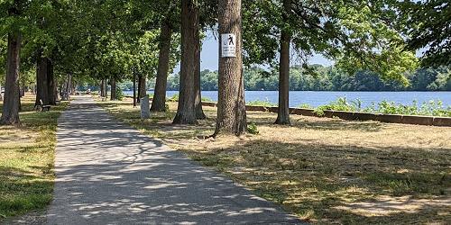
Lowell, MA
Lowell Heritage State Park
160 Pawtucket Boulevard 978-458-8750This park displays and educates visitors about Lowell’s 19th-centry textile mills and the lives of mill workers. The park includes two miles of landscaped esplanade along the Merrimack River and a Victorian garden in the downtown. Paths are pleasant for walking and enjoying sights along the river. Outdoor concerts and seasonal events take place along the esplanade.

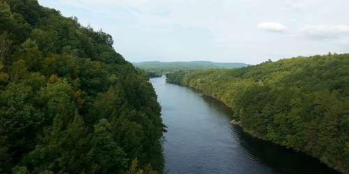
Northampton, MA
Connecticut River Greenway State Park
136 Damon Road 413-586-8706The Connecticut River Greenway connects open spaces and parks. See park website or link below for plenty of walking and hiking opportunities.
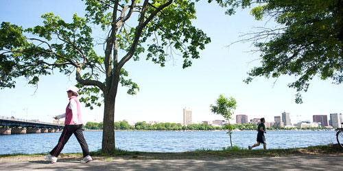
Boston, MA
Back Bay Fens Park of the Emerald Necklace
The Emerald Necklace is a series of six historic urban parks from the Back Bay of Boston to Dorchester. It was designed a century ago by landscape architect Frederick Law Olmsted. The necklace includes places as varied as a shaded bench, basketball courts, an arboretum, and a zoo. One of the parks, Back Bay Fens, is an eclectic mix of formal and community gardens, ball fields, memorials and historic structures.
To Get There: Avoid driving; parking is difficult. To get to the park, use any of these trains of the Massachusetts Bay Transit Authority (MBTA or "the T" ): Green B, C Lines: Hynes/Mass Ave, Kenmore; Green D Line: Hynes/Mass Ave, Kenmore, Fenway; Green E Line: Museum of Fine Arts, Northeastern University; Orange Line: Ruggles.

Sturbridge, MA
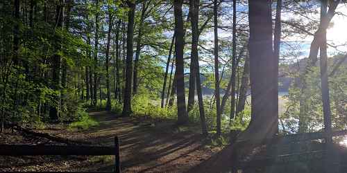
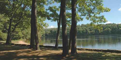
Wells State Park
159 Walker Pond Road 508-347-9257There are 10 miles of hiking trails on this pretty, wooded property. Off road vehicles may not be used on hiking trails. One popular walk with good views at the end goes to Carpenter Rocks. - Trail Map (PDF)
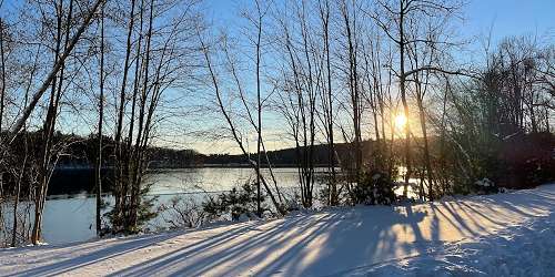
Hopkinton, MA
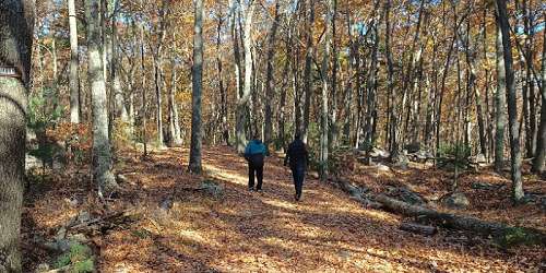
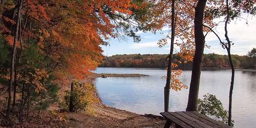
Hopkinton State Park
164 Cedar Street 508-435-4303This state park on the Hopkinton Reservoir has a very large trail system for all users, including hikers, mountain bikers, horseback riders, and cross country skiers. - Trail Map (PDF)
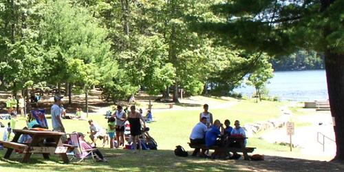
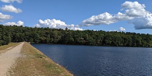
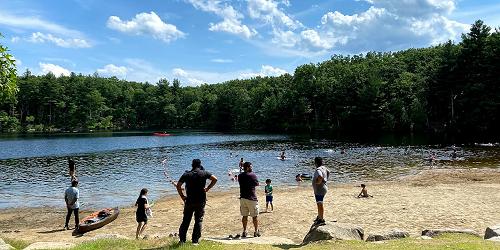
Ashland, MA
Ashland State Park
162 West Union Street 508 881-4092This large park on a reservoir offers all manner of water sports along with extensive walking trails.
Parking: Available mid-May to Labor Day, $8 daily for MA vehicles and $30 daily for out-of-state vehicles. - Trail Map (PDF).
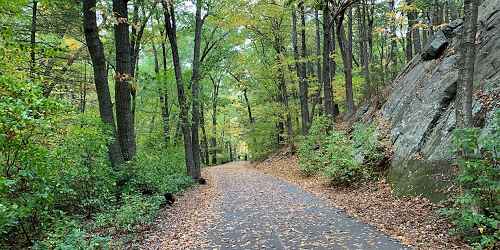
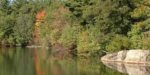
Saugus, MA
Breakheart Reservation – Pearce Lake
177 Forest Street 781-233-0834Many walking trails reach to all parts of this 600-acre property of hardwood forests north Boston. Lots of peaks above 200 feet provide good climbs and views of distant Boston. - Trail Map (PDF)
Chesterfield, MA
Chesterfield Gorge
River Road 413-532-1631This dramatic rock canyon features 70-foot-high walls carved by centuries of rushing water from the Westfield River. Walkers and hikers can take a half-mile trail along the cliff tops, with beautiful views of the gorge, the river, and the forest, home to bears, bobcats, and turkeys. This trail is easy walking.
Also, a trail from the parking lot connects to the East Branch Trail (also called River Road), which follows the river for seven miles, beyond Bliss State Forest. Walkers on this trail will past above Knightsville Dam. The East Branch Trail/ River Road also is great for mountain biking. Trail map.
Hours: April 1 to December 1; every day, 8 a.m.to sunset.
Fees: Adults, $2, children under 12 years old, free. Facilities: Rest rooms and picnic tables.

East Sandwich, MA
Green Briar Nature Center and Thornton W. Burgess Society
6 Discovery Hill Road 508-888-6870Located on the shores of Smiling Pool, this center celebrates with animal stories by Thornton Burgess, an enormously popular children’s writer of the early 20th century. Adjacent to Green Briar is the 57-acre Briar Patch Conservation Area, home of Peter Rabbit and many of the other Thornton Burgess animal characters.
Natural history programs for children and adults are offered year-round and include classes, field trips, guided walks, and workshops on the natural sciences. There are wonderful nature trails and a spectacular wildflower garden to explore. Walking trails are open to the public.
Newburyport, MA
Parker River National Wildlife Refuge on Plum Island
Visitor Center, 6 Plum Island Tpk. 978-465-5753Parker River National Wildlife Refuge is a protected place for migratory birds located on the barrier beach of Plum Island. Visitors can walk boardwalks and see sandy beach and dune, cranberry bog, maritime forest and shrub land, and freshwater marsh. Stunning! See full description of Parker River National Wildlife Refuge.
Easton, MA
Sheep Pasture Farm & Trails
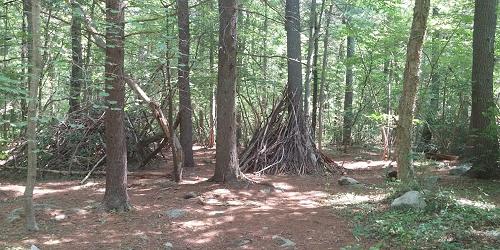
307 Main Street 508-238-6049Sheep Pasture is a former family farm that is now operated as a public open space by the Natural Resources Trust of Easton. People – with their pets on leash -- are welcome to enjoy the land and its walking trails every day of the year, from dawn to dusk. The Sheep Pasture has trails that are well-maintained and farm animals for people to visit. The property is open for walking, bird watching, picnicking, and nature photography. - Trail Map
Great Barrington, MA
Housatonic River Walk
Dresser Avenue and River StreetHousatonic River Walk is a paved path that ambles alongside the Housatonic River in Great Barrington, following the Housatonic River between Cottage Street and Bridge Street. It passes the W.E.B. Du Bois River Park. The trail’s two sections are linked by Dresser Avenue and River Street. The upstream section extends from the River Walk bulletin board at 195 Main Street to the William Stanley Overlook. The trail exits at the stairs to St. Peter’s Church parking lot on Dresser Avenue. The downstream section of the trail begins adjacent to the Berkshire Corporation parking lot on River Street and ends at Bridge Street.

Richmond, MA
Hilltop Orchards Trails
508 Canaan Road - Route 295 413-344-6817Hilltop Orchards, also the home of Furnace Brook Winery, welcomes hikers to explore trails on its 200-acre property in the Berkshire hills. Leashed dogs are allowed on trails. Hikers are asked to sign in at the Farm Winery Store before hiking. Hikers should appropriate shoes and hats, and bring sunscreen and bug repellent. The property has three hikes of easy to moderate difficulty. In winter, the orchard hosts a monthly Full Moon Hike and Bonfire and a Full Moon Snowshoe Trek & Bonfire. Both are guided excursions followed by wine tasting.
Sheffield, MA
Race Brook Falls
Off Route 41This hike includes a beautiful, three-tiered waterfall, which spans most of the hike. The walk starts through a dense pine forest but quickly opens to a young forest. At the top of the waterall is a natural swimming hole. This hike starts right off Route 41 and is well marked. It is mostly an inclined hike, rated moderate to strenuous.
Directions: The entrance to Race Brook Falls is a few miles over the border of Connecticut from Sheffield, MA. From the center of Salisbury take Route 41 north. Pass the border and a few miles later on the left side will be a paved cutoff from Route 41.
Windsor, MA
Notchview Reservation
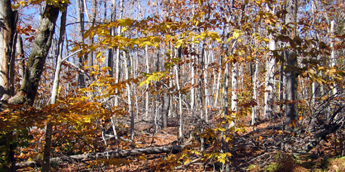
3 Old Route 9 413-684-0148This property of forest and field is managed by the Trustees of Reservations has 25 miles of hiking trails, offering easy-to-moderate mountain top hiking. It is open daily, year-round, and is used extensively for cross-country skiing during snow season. It is a popular place to bird watch. Along with the other Trustees hiking properties, events like bonfires and beer tastings are often held in conjunction with a hike. Notchview also offers a dog-friendly trail that winds you through dense forest and over bridge covered rivers.
Waquoit (East Falmouth), MA
Trails of the Waquoit National Estuarine Reserve
131 Waquoit Highway 508-457-0495The reserve has marked walking trails at the Reserve Headquarters, the Quashnet River area, South Cape Beach State Park, Abigail’s Brook, and Washburn Island (see map ). Note that dogs are not permitted on any beaches from April 1 to September 1. When and where dogs are permitted, they must always remain on leash. Directions to the Reserve.
Visitor Center/Headquarters Map & Trail Map .
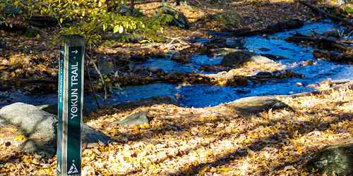
Lenox, MA
Mass Audubon’s Pleasant Valley Wildlife Sanctuary
472 West Mountain Road 413-637-0320Come and enjoy walking seven miles of trails with access to Lenox Mountain summit. Universally accessible trail (0.3 miles) and boardwalk overlooking Pike’s Pond and an active beaver colony. Summer camp and canoe trips offered on the Housatonic River. - Trail Info and Map
Hours: Open year-round. Trails are open dawn to dusk.
Falmouth, MA
Beebe Woods via Highfield Hall
56 Highfield Drive 508-495-1878Named after the Beebe Family that created the Highfield estate, Beebe Woods consists of 383 acres of land given to the Town of Falmouth in 1972. The woods were once part of the 700-acre property owned in the 1870s by James Madison Beebe. Beebe Woods has an extensive network of walking trails over varied terrain, exploring wooded ridges and steep-sided hollows, and he picturesque pond known as the Punch Bowl.
The trails connect at the southern end of Beebe Woods to Peterson Farm. The Beebe Woods Trailhead can be reached via Highfield Hall. Park at Highfield Hall and enter the property at the Ice House.
Provincetown, MA
Dune Shacks Trail
Route 6 North near Snail RoadThe trailhead is off Route 6 at Snail Road in Provincetown. There is a small parking area. You will be walking northward, away from the village of Provincetown, toward the ocean and away from Cape Cod Bay. You are walking through dune grass and parabolic sand dunes. Views of the dunes, ocean, and dune shacks are stunning. Bring water. Do not flip flops; the sand is very hot. Bring sunscreen. Walk to the shore takes about 45 minutes.
Parking: Trail head and parking on Route 6 North at Snail Road
Royalston, MA
Tully Trail
trailhead is opposite 25 Doane Hill RoadThe Tully Trail is a 22-mile loop trail that encircles the Tully Valley in the North Quabbin region. From the summit of Tully Mountain to Doane’s Falls, the trail gives walkers access to wonderfully scenic views. The trail is irregularly marked with yellow rectangular blazes and blue-purple Tully Trail markers. Walkers should use a stand-alone GPS unit or GPS-based mobile mapping app. The Tully Trail is maintained only sporadically by volunteers; many sections of the trail are difficult to follow and challenging to navigate. Trail map.
Access and Parking: Trailhead parking is provided at the Tully Lake Campground at 25 Doane Hill Road in Royalston.