State and Local Parks
State & Local Parks - MA Statewide
Massachusetts state and local parks are home to a huge range of activities, as different as salt-water fishing at the Cape Cod National Seashore to the hiking to summits with vast vistas into Vermont, New Hampshire, and New York from the mountainous parks of the Berkshires region. Some tell tales of the state's history, like at Minute Man National Park in the Merrimack region, where the Revolutionary War began. Activities from boating to cross-country skiing and all manner of sports in between give pleasure to families and children and people of all ages. The listings below are a selection from scores of state parks in the Bay State; many are not included. Visit the state parks website to read more.
Follow these links for : Sightseeing - Walking & Hiking - Science & Nature
55 listings

Plymouth, MA
See Plymouth
4 North Street 508-747-0100Plymouth’s plentiful parks offer everything from beaches to pondside camping
Check out some more great things to do while visiting Plymouth County, MA!
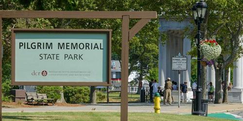
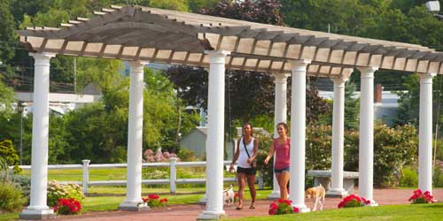
Parks are plentiful in Plymouth, both downtown and in the surrounding county. You can stroll along Town Brook in the Brewster Garden, let the kids enjoy the splash pad and concession stand at Nelson Memorial Beach Park, go swimming or fishing off Plymouth Beach and Long Beach. Ellisville Harbor State Park has one of the area’s most scenic vistas, with a barrier beach, salt marsh and open meadow. Edges Pond Preserve has walking trails, basketball and tennis courts and beach volleyball. The massive Myles Standish State Forest in nearby Carver has 470 campsites, 16 ponds, 15 miles of bike trails, 20 miles of equestrian trails and miles of hiking trails. Pond shore walks and bog explorations are offered in the summer. Please visit our website to learn more about these activities and others to prepare for your trip to Plymouth.
Boston, MA
Boston Harbor Islands National Park Area
191w Atlantic Avenue 617-223-8666Islands in Boston Harbor, and easy ferry ride from downtown. Swimming, hiking, picnicking. A fun day trip
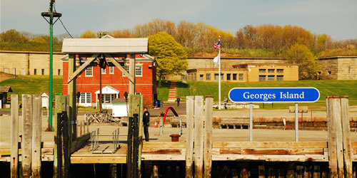
Thirty-four islands are located an easy ferry ride from downtown Boston comprise the Boston Harbor Islands National Park Area. Great for day trips, although camping is allowed on four islands (reservations are required). Two islands have great swimming beaches; one is lifeguarded. Wonderful for walking, picnicking, swimming, and fishing. For ferry schedule and ticket information, click the ticket icon below this listing.
Season & Hours: Mid-May to mid-October; see ferry schedule
North Adams, MA
Natural Bridge State Park
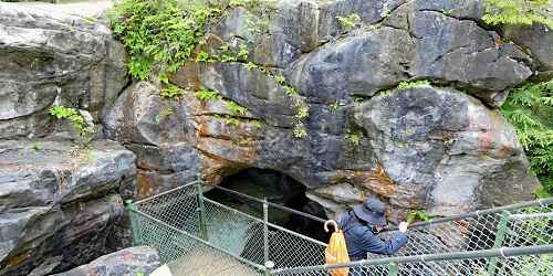
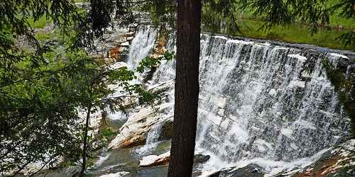
McCauley Road, off Route 8 413-663-6392This 48-acre park has the only naturally formed white marble arch and man-made white marble dam in North America. The bridge spans Hudson Brook as it twists and tumbles through a steep 60-foot deep gorge. There is an abandoned marble quarry. In the summer months, park interpreters are on hand to explain the natural forces that created the bridge and its more recent history. Explore the area on a quarter-mile walkway above and through the chasm, and a half-mile wooded walking trail.
Open Memorial Day through Columbus Day, 9 a.m. to 5 p.m. Parking fee is $2. Tables and grills are available for picnicking. Please carry-in, carry-out all trash. Access is limited. Leashed pets permitted. Swimming, rock climbing, defacing rocks, and alcoholic beverages are prohibited.
Feeding Hills, MA
Robinson State Park
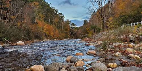
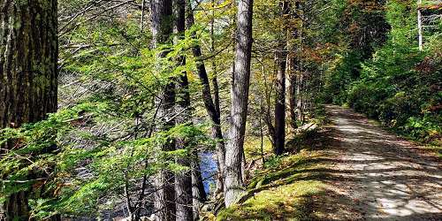
428 North Street 413-786-2877Robinson State Park is a popular recreational area in the Springfield region. River Road will take you into an area for swimming, sports, picnic sites, and launching canoes and kayaks. Come and explore 800 acres of scenic forests and shoreline on the Westfield River, and 20 miles of trails for walking, cycling, and horseback riding. - Trail Map (PDF)
Charlemont, MA
Mohawk Trail State Forest
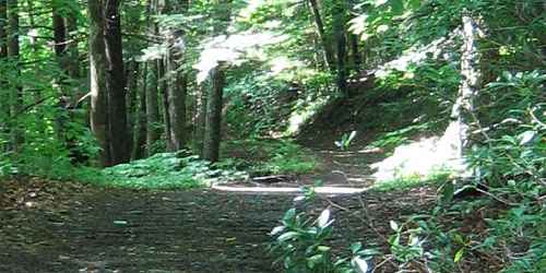
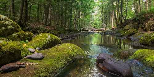
175 Mohawk Trail (MA Route 2) 413-339-5504This 6,000-acre state forest is steeped in scenic history. Discover naturally formed gorges and ancient trees; most likely, you’ll spot some wildlife on your way. Follow the Mohawk Trail on foot or on a recreational vehicle (season permitting), and follow the sound of the stream to the riverside. Camp in a rustic setting at various sites in any season, or just stay the day and enjoy a picnic by the streambed, watching the fishermen hunt for trout. Swimming permitted in the designated area. - Trail Map (PDF)
Season & Hours: Park is open year-round, Sunrise to Sunset. Campsites open from May thru mid-October.
Chester, MA
Chester-Blandford State Forest
20 Chester Road 413-354-6347Chester-Blandford State Forest offers a rustic park experience and spectacular Sanderson Brook Falls. Boulder Park features an easy interpretive trail and pavilion. Hike up an easy grade for a mile to see the cascade at Sanderson Brook Falls; hike the Newman Marsh Memorial Trail to the top of Observation Hill. Access is free. Limited number RV sites. Carry-in, carry-out all trash. Be aware of bears. Pets permitted on a leash. Motorized off-road vehicles prohibited. Swimming prohibited at Sanderson Brook Falls. - Trail Map (PDF)
Season & Hours: Open year-round, sunrise to sunset. Swimming prohibited at Sanderson Brook Falls.
Chicopee, MA
Chicopee Memorial State Park
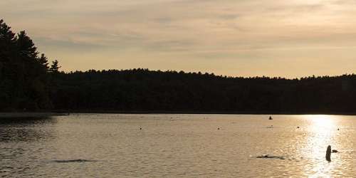
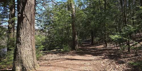
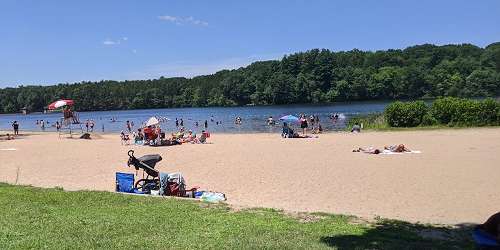
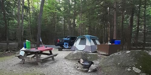
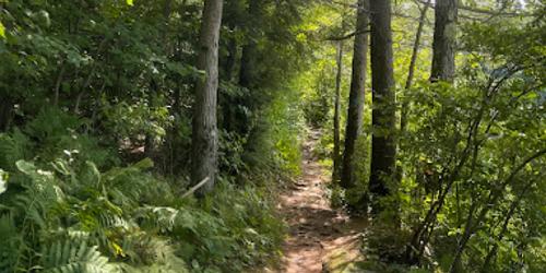
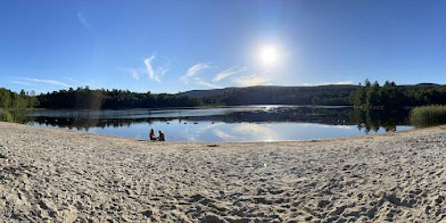
570 Burnett Road 413-594-9416Chicopee State Park, previously called the Cooley Brook Reservoir, has a 25-acre pond for swimming and fishing. Beach is wheelchair accessible. Picnic grounds and restrooms also are available. The park has trails for walking and bicycling. The park is open daily, 8 a.m-4 pm. During busy weekends and some holidays, the parking lot may be filled and therefore temporarily closed until more parking is available. For information on parking lot closures and openings, consult Twitter at@MassDCR. - Trail Map (PDF)
Clarksburg, MA
Clarksburg State Park
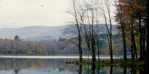
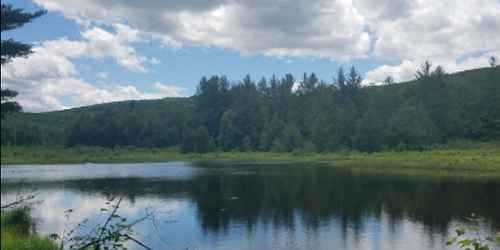
1199 Middle Road 413-664-8345Clarksburg State Park offers 368 acres of unspoiled hardwood forest with views of the Hoosac Range, Mount Greylock, and the Green Mountains. Mauserts Pond has a day-use area with picnicking and a pavilion. The pond is surrounded by 9.5 miles of foot trails. Good for camping, hiking, and boating. Boat Launch is available for non-motorized boats. Prohibited: Motorized off-road vehicles. - Trail Map (PDF)
Florida, MA
Savoy Mountain State Forest
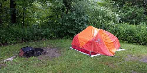
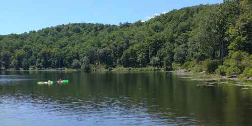
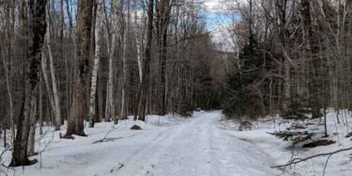
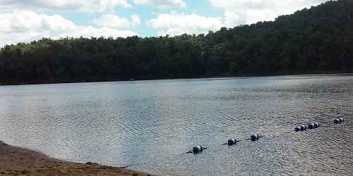
260 Central Shaft Road 413-663-8469There are virtually endless recreational opportunities at Savoy Mountain State Forest. Fifty miles of wooded trails lead to floating bogs and the cascading, 50-foot Tannery Falls, where Ross Brook flows through a deep chasm. Serene North and South Ponds are surrounded by forest and walking trails; North Pond has a boat ramp, and both ponds have beach areas. Unguarded swimming is available at the North Pond day-use area. Both ponds make excellent picnic sites.
There are 45 campsites in an apple orchard. Pets are permitted except on the beach area and in the cabins; maximum 10-foot leash. - Trail Map (PDF)
Amenities: Restrooms, showers, handicap-accessible sites. Motorized off-road vehicles, alcoholic beverages, swimming and rock climbing at Tannery Falls area are prohibited.
Season & Hours: The park is open year-round, 8 a.m. to dusk.
Lee, MA
October Mountain State Forest
317 Woodland Road 413-243-1778Visitors to October Mountain can camp, hike, and enjoy the outdoors and have near access to Tanglewood. Forty-seven campsites dot a sunny hillside. Trails are available for every level of fitness. A scenic trail leads through Schermerhorn Gorge, a striking natural feature.
Camping season is from mid-May through mid-October. Maximum RV size is 34 feet. No electric hook-ups. ATVs are permitted on designated trails. Car-top boat ramps are available at Housatonic River (access at New Lenox Road), Buckley Dunton Reservoir, and October Mountain Reservoir day-use area. Snowmobiling is available on four-inch snow base. This is black bear country - Never confront or feed bears! - Trail Map (PDF)
Season and Hours: Open from sunrise to one half-hour after sunset. Access is free.
Mount Washington, MA
Mount Washington State Forest
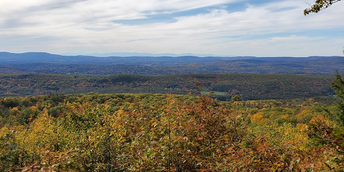
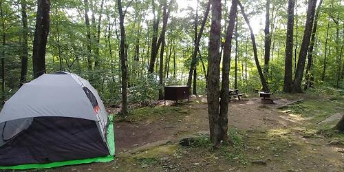
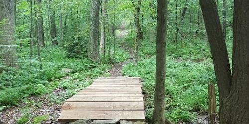
545 East Street 413-528-0330This red oak northern hardwood forest offers rugged terrain for hikers and rustic camping. Follow the South Taconic or Appalachian Trail along a great ridge and through Sage’s Ravine. Come in spring to bask in the blooming mountain laurel and azalea, and visit in summer to see the terrain blanketed in ferns. Be aware of bears. Prohibited: motorized off-road vehicles, snowmobiles and alcoholic beverages. - Trail Map (PDF)
Monterey, MA
Beartown State Forest
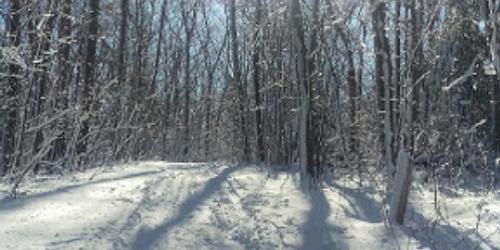
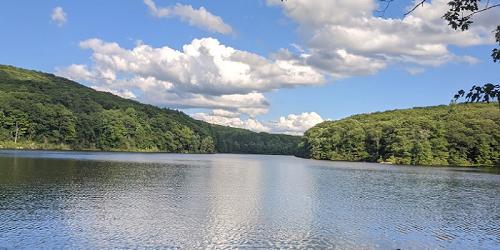
69 Blue Hill Road 413-528-0904Beartown State Forest is open year-round. During the warm months Benedict Pond attracts swimmers, boaters, and fishermen. A network of trails offers visitors a chance to see animals, forests, and fall foliage. Open in winter for cross-country skiing, snowshoeing, and snowmobiling.
Unguarded swimming is available at designated areas only. Non-motorized boating at Benedict Pond day-use area. All Terrain Vehicles are permitted from May 1 through November. Snowmobiling is available, with parking at Benedict Pond day-use area. - Trail Map (PDF)
Pittsfield, MA
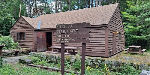
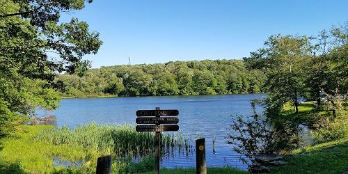
Pittsfield State Forest
1041 Cascade Street 413-442-8992Good for handicap-accessible recreation, fishing, walking & hiking.
Handicap visitors can enjoy nature freely here, at accessible hiking trails, picnic sites, restrooms, and scenic vistas. Everyone will like the variety of recreational activities this state forest offers, including camping, picnicking, swimming at the beach, and fishing. After a day of hiking and exploring Berry Mountain, take in gorgeous hilltop views of the sunset. Fishing in Berry Pond. Check out the nearby Balance Rock State Park, located in the northeast corner of the forest, to see a unique natural spectacle: a large boulder balanced naturally on another rock. - Trail Map (PDF)
Season & Hours: Sunrise - 8 p.m., year-round. $2 parking fee, early May - early September.
Sandisfield, MA
Sandisfield State Forest (York Lake)
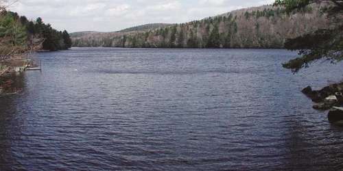
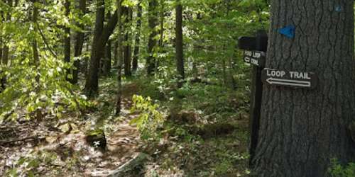
York Lake Road 413-229-8212Within the forests of Sandisfield State Forest is York Lake. The lake has a day use area with a 300-foot beach for swimming (no life guards) and picnicking. There is a boat ramp for kayaks, canoes, and small sail boats. York Lake is stocked with trout three times a year. Other activities including walking and hiking, horseback riding and cross-country skiing. The moderately difficult 2-mile Pond Loop Trail offers scenic views of the lake. Hunters are welcome in season.
Season and Hours: Open year round, sunrise to sunset. Facilities are available from Memorial Day through Labor Day.
Goshen, MA
D.A.R. State Forest
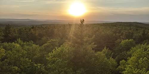
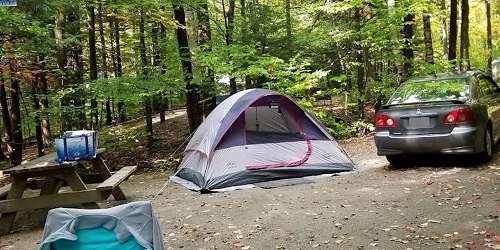
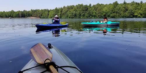
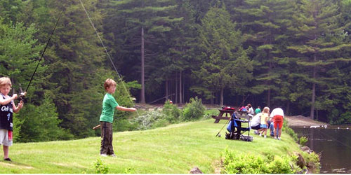
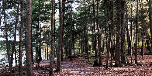
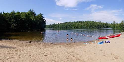
78 Cape Street - MA Route 112 413-268-7098This public forest includes Upper and Lower Highland Lakes, with a swimming beach, picnic area, and group picnic pavilion. There are 15 miles of mixed-use trails through the forest. The campground offers 51 wooded campsites with showers and a private beach. Everyone can enjoy nature in this forest: wheelchair accessible campsites are available. Activities include paddling, hiking, fishing, horseback riding, mountain biking, ice skating, cross-country skiing, snowshoeing, and snowmobiling. Pets are permitted except on the sandy beach area. Non-motorized boating is available. - Trail Map (PDF)
Season & Hours: Open year-round, sunrise until sunset.
Huntington, MA
C.M. Gardner Park
Route 112 413-354-6347Good for paddling, hiking & walking; fishing; pets allowed except on beach area
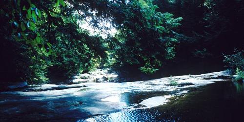
C. M. Gardner State Park is located in the rolling Berkshire foothills along a scenic section of the Westfield River East Branch. In summer the sunlit mountain river here is a delightful spot to relax. A wooded picnic area is available on the banks of the river. Swimming is prohibited. A $2 fee per vehicle is charged from Memorial Day weekend through Labor Day.
Northampton, MA
Connecticut River Greenway State Park
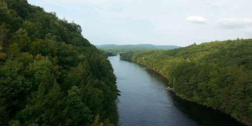
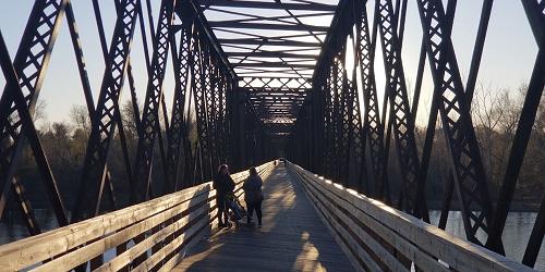
136 Damon Road 413-586-8706The Connecticut River Greenway connects open spaces, parks, scenic vistas, and archaeological and historic sites along the length of the Connecticut River as it passes through the state. There are over 12 miles of permanently protected shoreline, and numerous access points to the river. Several larger properties such as Mount Sugarloaf State Reservation, Norwottuck Rail Trail, and the Great Falls Discovery Center (located in Turner's Falls) provide added visitor amenities.
East Otis, MA
Tolland State Forest
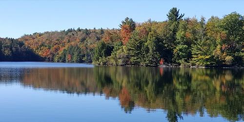
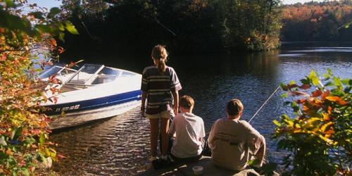
410 Tolland Road 413-269-6002Come and explore the 1,065-acre Otis Reservoir, which is the main attraction of this state forest. The lake has an activity for everyone's taste, from extreme recreation to a relaxing swim or boat ride. Camp on a beautiful wooded peninsula and watch the sun set and rise over the southern Berkshire Hills. Pick your favorite outdoor recreational activities, or try something new. Go hiking, fishing, swimming, paddling, or have a picnic. Be aware of hunters, off-road vehicles, and mountain bikers. - Trail Map (PDF)
Westfield, MA
Hampton Ponds State Park
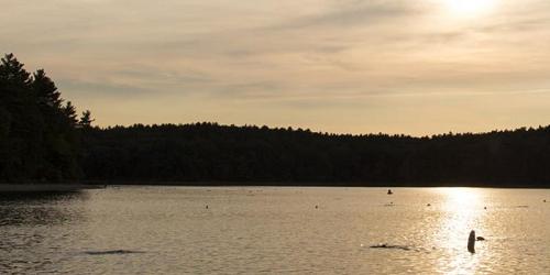
1048 North Road 413-532-3985Located in the City of Westfield, Hampton Pond State Park offers water sports, including beaches, swimming, paddling, motor boating, and fishing. The park has a boat ramp. There is plenty of room for picnicking, and restrooms are provided.
Mount Washington, MA
Bash Bish Falls State Park
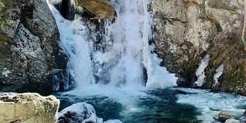
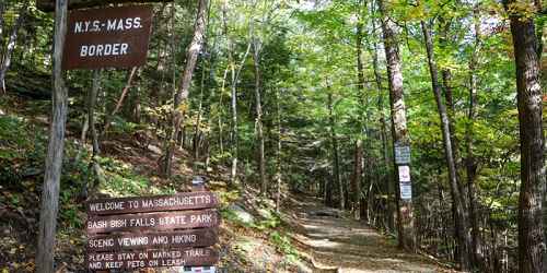
Falls Road 413-528-0330Bash Bish Falls has the highest single-drop waterfall in the state. Water tumbles through gorges and a hemlock-hardwood forest. Bash Bish Falls is located next to Mount Washington State Forest, with 30 miles of trails, including the South Taconic Trail and wilderness camping. Parking is allowed only at the designated lot. No services are available; anything you carry in, you must carry out of the park. Bring your own grill. Swimming, diving, entry inside the gorge, and rock climbing are prohibited. Open sunrise to sunset. - Trail Map (PDF)
Wendell, MA
Wendell State Forest
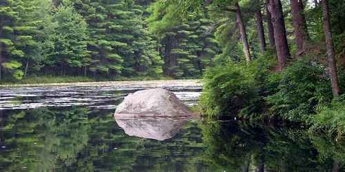
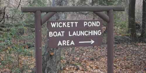
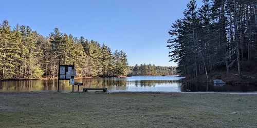
392 Montague Road 413-659-3797This 7,566-acre park has plenty of recreational opportunities including two ponds, a cranberry bog, brooks and streams, a ballfield, and the Metacomet-Monadnock hiking Trail. Ruggles Pond, the day-use area, has a restroom, picnic sites, and a swimming beach. - Trail Map (PDF)
Baldwinville, MA
Otter River State Forest
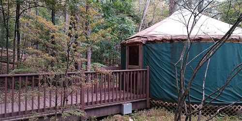
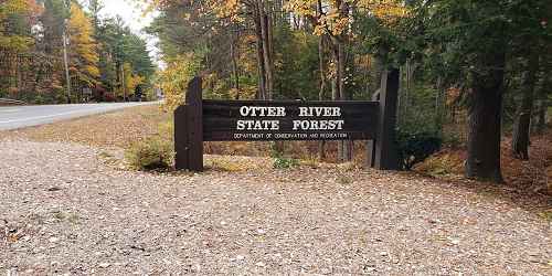
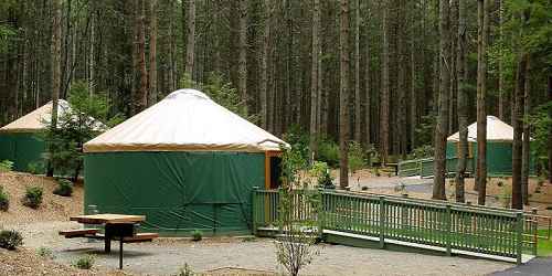
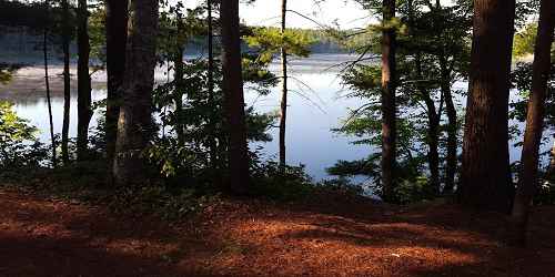
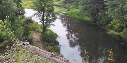
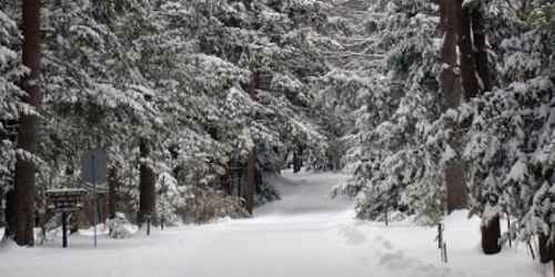
86 Winchendon Road 508-939-8962Otter River State Forest is a popular camping and day-use property. It encompasses the Lake Dennison Recreation Area, which has swimming, canoeing, and fishing areas. The state forest also has developed facilities on Beaman Pond. There are 85 campsites, including yurt camping; a swimming beach; a ball field; and picnic areas. Trails for hiking and cross-country skiing are available. - Trail Map (PDF)
Season & Hours: Open daily, sunrise to sunset.
Douglas, MA
Douglas State Forest
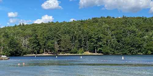
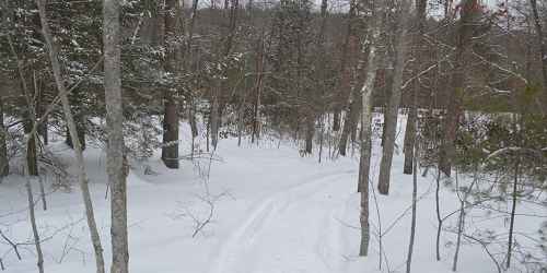
107 Wallum Lake Road 508-476-7872The state forest in Massachusetts also borders on Connecticut and Rhode Island. Activities at the park include water sports -- swimming, boating, paddling, fishing -- on Wallum Lake. There is a boat ramp and parking for boat trailers. Fish species includes trout, largemouth bass, and pickerel. Also: trails for horse riding and, in the winter, cross-country skiing and snowmobiling. There are picnic grounds, a beach for swimming, and bathrooms.
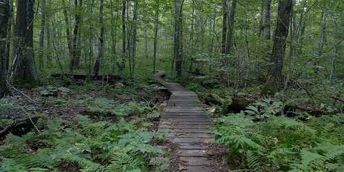
The Midstate Trail, a hiking trail through the center of Massachusetts, runs through the park. The park includes a 5-acre expanse of white cedar swampland, and a boardwalk trail to view the swampland. The park is popular and can reach capacity on some days in summer. To receive a tweet when Douglas State Forest reaches capacity. - Trail Map (PDF)
Gardner, MA
Dunn State Park
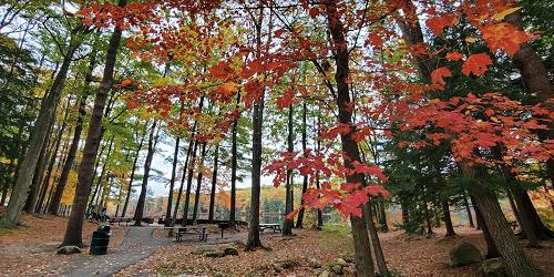
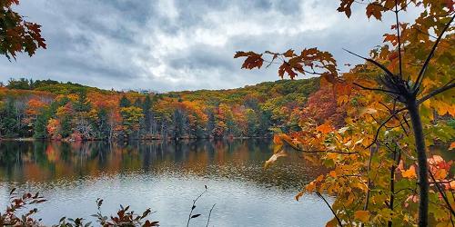
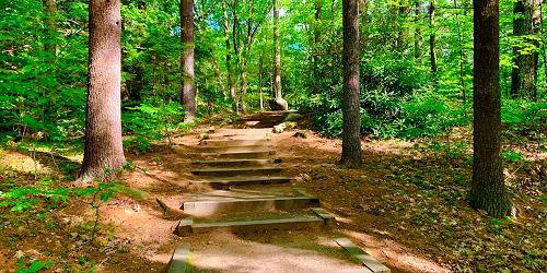
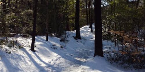
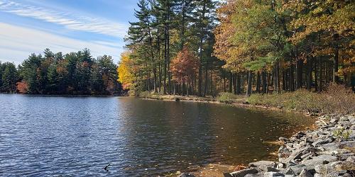
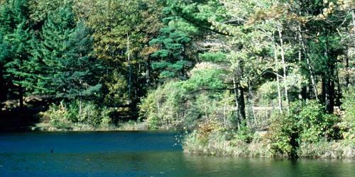
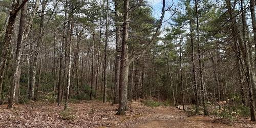
289 Pearl Street 508-632-7897This park revolves around a pond, where swimming, fishing and non-motorized boats are allowed. Several walking trails, which also accommodate cross country skiers. Picnicking and playground. In winter, walking trails are available for cross country skiing and ice skating is done on the pond. Often, a wood fire is lit in the visitor center. All activities in the park are wheelchair-accessible. - Trail Map (PDF)

Leominster, MA
Leominster State Forest
90 Fitchburg Road - Route 31 508-874-2303Leominster State Forest is a 4,300-acre forest with two ponds. People can hike, ride mountain bikes, swim, fish and picnic in summer and cross-country ski and snowmobile in winter. Parking fees are charges from Memorial Day to Labor Day. There is no camping at this forest.
People may do rock climbing at Crow Hill Ledges. Mountain bikers may not use hiking trails. The terrain for mountain bikers includes unpaved fire roads to single-track trails. Bikers are supported by the New England Mountain Bike Association
A swimming beach at Crow Hill Pond has two picnic areas with tables, grills, and a bathhouse. Lifeguards are on duty from mid-June until Labor Day. Crow Hill Pond is stocked with trout. Kayakers, canoeists, paddlers and fishermen enjoy Paradise Pond. - Trail Map (PDF)
Petersham, MA
Federated Women's Club State Forest
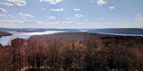
West Street 978-544-3939This property is southwest of the the Quabbin Reservoir and on land of the reservoir's watershed. Wooded roads pass through pine, maple, birch and hemlock groves. A wildlife sanctuary of 140 acres is in the center of the park. Good for bird watching for wild fowl, Limited-service campsites are available. Fishing and cross-country skiing also are allowed. No pets are allowed on Watershed Property.
Brewster, MA
Nickerson State Park
3488 Main Street - Route 6A 508-896-3491Inland park offers lots of camping; fresh water swimming, fishing and paddling; hiking and biking
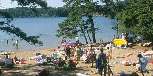
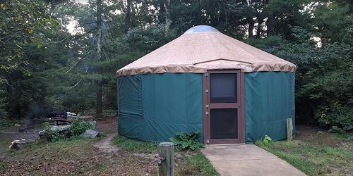
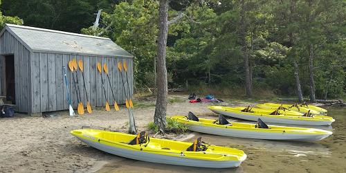
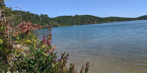
This is a large camping park in the inland pine woods of Cape Cod. Swimming and fishing is done at eight fresh-water kettle ponds. Ponds are stocked year-round with trout. The park is filled with walking, hiking, and biking trails. An eight-mile bicycling trail within the park connects to the 22-mile Cape Cod Rail Trail, a former railroad bed now dedicated to walking and biking. Visitors may swim and canoe and kayak at Flax Pond; enjoy the wildlife or fish (catch-and-release) at Higgins Pond, or enjoy staff-led nature learning programs. Four hundred camp sites include yurt camping. You cannot see Cape Cod Bay from this inland park, but the bay is within walking or bicycling distance. - Trail Map (PDF)
Mashpee, MA
Lowell Holly
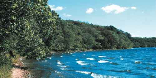
South Sandwich Road 508-636-4693Carriage roads and foot trails of moderate difficulty pass around and through groves of holly on this peninsula owned and managed by the Trustees of Reservations. The property has two freshwater ponds, and views of the large, freshwater Mashpee Pond and Wakeby Pond. Both ponds are stocked with fish. Area is good for bird watching. Four miles of walking trails. Seasonal parking is closer to the property than year-round parking.
Westport, MA
Horseneck Beach State Reservation
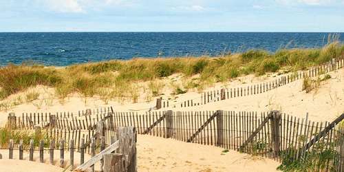
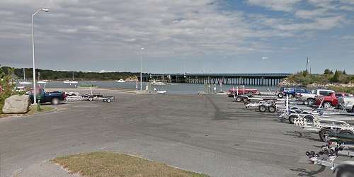
MA Route 88 South to John Reed Road 508-636-8816Horseneck Beach State Reservation is a popular spot for campers and sunbathers. Its main feature is an ocean beach for sailing, swimming, or just soaking up the sun. There is ample campground and amenities like showers, restrooms, and dumpsters. Birdwatchers flock to the beach and salt marsh to catch glimpses of unique New England bird species. Swimming is permitted only at designated beaches. Pets are not allowed at swimming areas.
Season: mid-May - mid-October
Carver, MA
Myles Standish State Forest
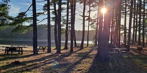
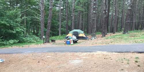
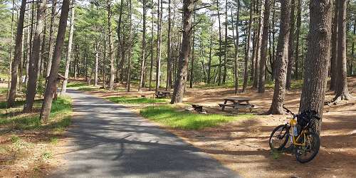
194 Cranberry Road 508-866-2526This 14,651-acre forest in Plymouth and Carver offers visitors plenty of opportunities to enjoy the great outdoors. Coastal plain "kettle" ponds are carefully preserved ecological gems. There are two Wildlife Management areas, which allow hunting in season, so be aware and wear bright orange in these areas when necessary. There are five camping sites. The College Pond day-use area is a prime spot for a picnic, a dip in the cool waters, fishing, or paddling. There are also 13 miles of hiking trails which take you through the deep woods. - Trail Map (PDF)
Hingham, MA
Wompatuck State Park
204 Union Street 617-895-8245Popular for for camping, fishing, hiking. Some campsites have electricity.
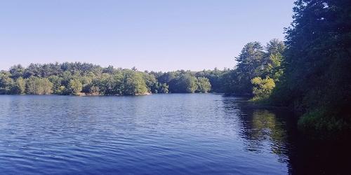
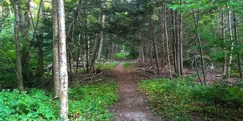
A half-hour drive from Boston, this park has wooded campsites, half of them with electricity. The park is popular with trailer campers; electric hookups, a dumping station, and potable water are all available. Camping and rest rooms are wheelchair accessible. Cyclists will find 12 miles of paved bicycle trails, and many miles of wooded bridle paths and hiking trails. Fishing is allowed in the Cohasset Reservoir. A boat ramp is provided for car-top boats, but no boat trailers. There are no swimming facilities at this park.Cross-country skiing is allowed. - Trail Map (PDF) - Recommended Spring '22 Hikes (PDF)
Season: Camping Season is mid-May through mid-October. Campsite fee is $17/night for Mass. residents and $54/night for out-of-state.
Assonet, MA
Freetown-Fall River State Forest
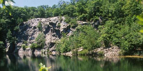
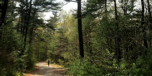
110 Slab Bridge Road 508-644-5522On your journey through this large, wooded area, you'll come upon brooks and streams, the rocky silhouette of the legendary Chief Massasoit at Profile Rock, a cranberry bog, and a watershed area. The day use area is near the entrance to the forest and contains a wading pool, picnic sites, open fields, and restrooms. Be aware of hunters, dog sleds, horses, mountain bikers, and snowmobiles in season. - Trail Map (PDF)
Plymouth, MA
Ellisville Harbor State Park
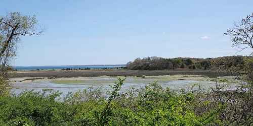
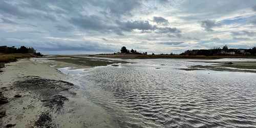
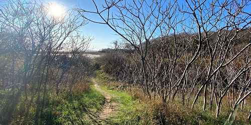
1861 State Road - MA Route 3A 508-866-2580At Ellisville Harbor State Park, you'll encounter wildlife, the 18th-century Harlow family farmstead, salt marsh, meadows, and a red pine forest. This scenic site is a natural gem on the South Shore coastline. Picnic on the shore and watch the fishing boats go by, or go take a hike and discover the wide variety of natural wonders that await you in this serene spot. Watch for seals in fall and winter!
South Boston, MA
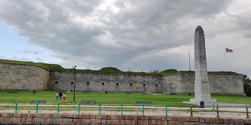
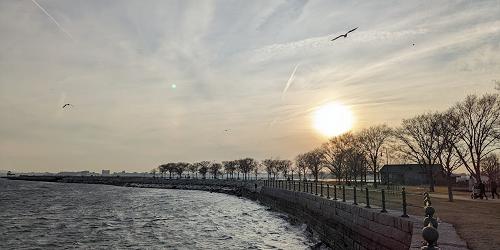
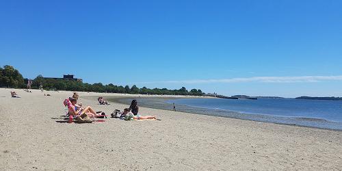
Castle Island, Pleasure Bay, M Street Beach & Carson Beach
2010 Day Blvd. 617-727-5290Bayside string of parks and beaches easily accessible to Boston; walking, swimming, fishing
This urban park consists of a three-mile stretch of parks and beaches along Dorchester Bay, easily accessible from Boston. Carson Beach offers some beautiful views and public amenities. Carson Beach also has a walkway for people to walk, bike, or run along the water's edge from Castle Island to the Kennedy Library.
Hours: Open year-round, sunrise to sunset. - Park Mark (PDF)
Andover, MA
Harold Parker State Forest
133 Jenkins Road 508-686-3391Harold Parker State Forest is a large property of hardwood and pine forests just 20 miles from Boston. Camping at Lorraine Park campground, at 133 Jenkins Road, is a real in-the-forest experience. There are 89 spread-out camp sites with picnic tables and grills and bathrooms with hot showers. No electrical hookups. Camping is done from late May to early September.
More than 35 miles of logging roads are available to hikers and off-road bikers. Horseback riding is allowed. Fishing and paddling with canoes and kayaks (no motor boats) are allowed on the forest’s eleven ponds. The property does not offer boat or bike rentals. - Trail Map (PDF) - Reserve a Campsite
Lawrence, MA
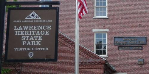
Lawrence Heritage State Park
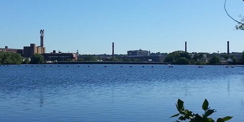
1 Jackson Street 978-794-1655This is the place to learn about this city’s industrial history. Interactive exhibits in a genuine and restored mill workers’ boarding house describe life in this early planned city. The Visitors Center includes a replicas of the mills and boarding houses, telling the life histories of the three dozen immigrant groups who settled in Lawrence. A video of the Great Strike of 1912 describes a piece of this country’s labor history. The Bread and Roses Festival on Labor Day is an annual highlight. Guided tours are offered. Pemberton Park, off Canal Street near the Central Bridge, offers views of the mills and dam, along with places to fish. The area has walking trails and benches. Open daily 9am – 4pm.
Newburyport, MA
Maudslay State Park
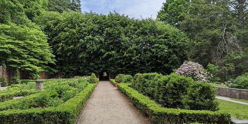
74 Curzon Mill Road 978-465-7223This park features gardens from the 1800s, other plantings, rolling meadows, and huge groves of mountain laurel. Loved by visitors for the may-to-June blooming period of large beds of azaleas and rhododendrons. An exquisite place for walking, biking, and informal picnics. Portions closed in winter, but still fine for walks. Special use permits allowed for weddings. - Trail Map (PDF)
Rockport, MA
Halibut Point State Park
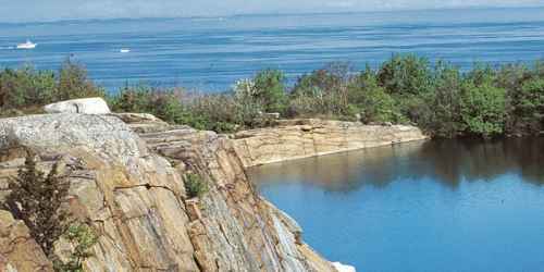
Gott Avenue 508-546-2997On a promontory beyond Rockport Between Ipswich Bay and the Atlantic, Halibut Point is a beautiful place for viewing the seascape, walking, birdwatching, and picnicking. It is a former granite quarry and is now run the Trustees for Reservations . On summer weekends tours of the quarry are offered. There are wildflower walks and tide pool education programs in the summer and bird tours in the winter. Most of the park is wheelchair accessible. - Park Map (PDF)
Season and Hours: Open daily 8am to Sunset. Parking fee charges between mid-May and the end of October.
Salisbury, MA
Salisbury Beach State Reservation
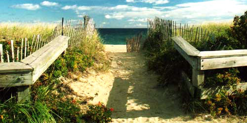
1 Beach Road - Route 1A 508-462-4481This beautiful ocean beach stretches almost 4 miles along the Atlantic. Activities include ocean swimming, boating, fishing, and camping. It is very popular for trailer camping, offering 484 trailer sites. The property has bathhouses, parking for day visitors, boardwalks, a pavilion and a playground. Two boat ramps are on the Merrimack River.
Camping is done from May to October. Off-season camping on weekends is October to late November. Hunters may use the island and Sandy Point State Reservation. See park website for rules about hunting. - Camping Area Map
Topsfield, MA
Bradley Palmer State Park
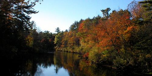
40 Asbury Street 508-887-5931This former estate has many pleasant, shaded walking trails and old carriage roads. Lots of rhododendron bushes blaze in June. The park/estate is bordered on its north end by the Ipswich River, and a kayak and canoe rental business is located just east of the park, on Ipswich Road. There is a wading pool for young children and areas for picnicking. Hunting is allowed at Cleveland Farm. Archery hunting only at Prospect Hill. Horseback riding is allowed on trails, but there are no rentals of horses or equestrian equipment. - Trail Map (PDF)
Lowell, MA
Lowell Heritage State Park
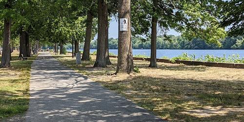
160 Pawtucket Boulevard 978-458-8750This park illustrates the life of Lowell’s 19th-centry textile mills. Among the things to see here are a network of canals that furnished power to the textile mills along the water. The park includes two miles of landscaped esplanade where summer concerts take place, and a Victorian garden in the downtown. To get access to the walking paths, park at Rynne Bathhouse.
The park offers swimming and boating in the Merrimack River. Boating access to the Merrimack River is at the Rourke Brothers State Boat Ramp on Route 113. It has 44 trailer lots and 20 car-top lots. The entrance to the ramp is across from 1011 Pawtucket Blvd. and one-half mile west of the Rourke Bridge. There is an easy walking trail of 1.5 miles in length along the Lowell Esplanade. Park at Rynne Bathouse located at 160 Pawtucket Blvd.
Note that Lowell National Historical Park, operated by the National Park Service, is a similar but separate entity from Lowell Heritage State Park.
Edgartown, MA
Manuel Correllus State Forest
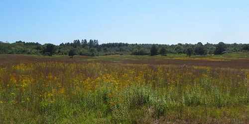
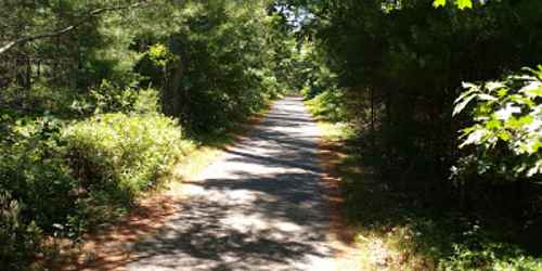
Barnes Road 508-693-2540Correllus State Forest occupies over 5,100 acres in the center of Martha's Vineyard. It is best for hiking and cycling on its 15 miles of bicycling and walking paths. It is also the focus of one of the largest environmental restoration projects in the country. Here, visitors can see many rare species and examples of grasslands, heathlands, barrens, and woodlands, dominated by mixed oak-pine. - Trail Map (PDF)
Brimfield, MA
Brimfield State Forest
86 Dearth Hill Road 413-267-9687This sprawling green area boasts over 20 miles of roads and trails. Dean Pond Recreation Area, located in the western portion of Brimfield State Forest, has a pavilion, comfort station, a small beach and picnic area. The roads are popular for equestrian use and related special events. Accessible Restrooms. Recreational uses: fishing, group day use, horseback riding trails, hunting (with restrictions), mountain biking, picnicking, cross-country skiing, swimming, walking trails. Headquarters and Dean Pond Recreation Area are located off of Route 20 in south-central Massachusetts. - Trail Map (PDF)
Chatham to Provincetown, MA
Cape Cod National Seashore
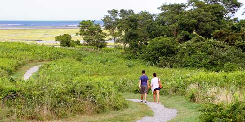
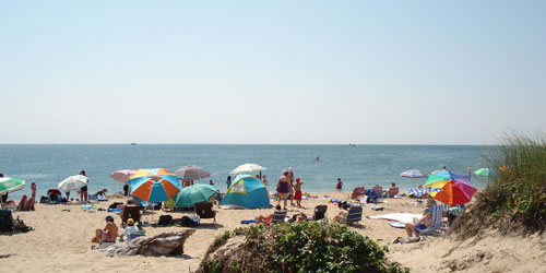
Various Locations 508-255-3421Forty miles of pristine beaches, marshes, fresh water ponds, woodlands, cranberry bogs, and historic lighthouses stretching from Chatham to the very end of Cape Cod in Provincetown. Many walking and biking trails. Six oceanside swimming beaches are life guarded June through August. Eleven self-guided nature trails are open year-round.
Visitor Info is available at two locations. The first is Salt Pond Visitor Center in Eastham, which offers orientation movies, a bookstore, a museum, and restrooms. The second, Province Lands Visitor Center in Provincetown, has an observation deck with a 360-degree view of the dunes and the Atlantic Ocean.
Natick, MA
Cochituate State Park
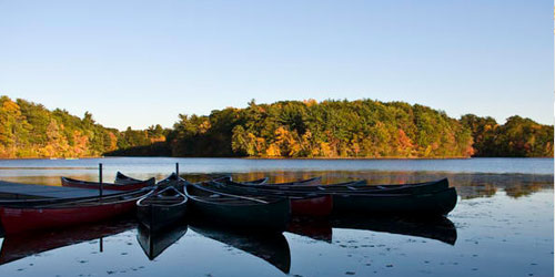
43 Commonwealth Road 508-653-9641This park is located along the three large, north-south lobes of Cochituate Lake. The northern and middle sections of the lake are divided by the east-west Interstate 90 and State Route 30. The middle and southern sections are split by the east-west State Route 9.
Activities include boating, swimming, and fishing on its three large lakes. Picnicking, swimming, and boat launching are limited to the middle lake, where the main body of the park is located. Boaters may gain access to the other lakes through channels under roadways. Jet skis are not allowed. On heavy-use weekends, the parking area can reach capacity, requiring temporary closing of the parking lot. For closure updates, check Twitter @MassDCR.
Hours (Summer): 8am - 8pm, bathrooms locked at 7pm.
Parking Fees (May-October): $8 for MA Residents; $30 for Out-of-State Resident
Chelsea, Medford, & Somerville, MA
Mystic River Reservation
617-727-5380Series of parks and green spaces along Mystic River; accessible by MBTA trains; walking, biking, picnicking, swimming
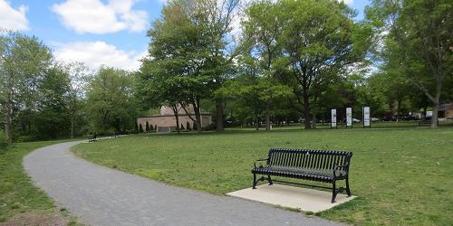
The Mystic River Reservation is a string of parks and green spaces along the Mystic River and including the twin Mystic Lakes. The two major lobes of the Reservation are along Mystic Valley Parkway (Route 16) but are divided by one offshoot of the Mystic River and the Fellsway (see map). Activities at these parks include walking and jogging, bicycling, picnicking, and access to water sports at Mary O’Malley Park and the Mystic Lakes.
The Reservation is accessible by commuter trains. Take the MBTA to W. Medford or Wedgemere stations for access to Mystic Lakes. Take the Orange line to Wellington Station for access to Mystic River. Bus lines to Medford Square provide access to the bike path. Open year round, dawn to dusk.
Edgartown, MA
Cape Poge Wildlife Refuge, Wasque Reservation, East Beach
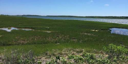
Dike Road - on Chappaquiddick Island 508-627-7689Chappaquiddick Island is separated from Martha’s Vineyard by a narrow strait. Access is by boat or by ferry that shuttles back and forth continuously from Edgartown. On this lovely and uncrowded island visitors find a sandy beach, salt ponds and meadows, great blue heron, sandpipers and fishermen casting in the surf. The eastern barrier beach extends seven miles from Wasque Point past the Cape Poge Lighthouse to Cape Poge Gut.
Hiking of moderate difficulty can be done on 14 miles of trails for walkers and over-sand vehicles. Tours of the lighthouse, and kayak and seaside exploration tours are offer daily from Memorial Day to Columbus Day. Van transportation is offered for tour participants directly from the Chappaquiddick side of the ferry landing. - Trail Map (PDF)
Lanesborough, MA
Mount Greylock State Reservation
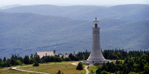
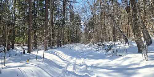
30 Rockwell Road 413-499-4262This park, at the summit of Mount Greylock, the highest point in Massachusetts, offers magnificent views, hiking, cross-country ski trails, and a semi-primitive campground. Visit the historic Veterans War Memorial Tower at the summit. Primitive camping is available at the Mount Greylock Campground. Bascom Lodge offers lodging and meals from May to October. The Visitor Center is open year-round.
The roads to the summit are open from late May through November 1; in fall, call ahead for current road conditions. Bascom Lodge and the Veterans War Memorial Tower are open seasonally. The Mount Greylock Campground (primitive overnight area) is accessible by hiking only.
Fees: Access to the park is free. Parking fee for the summit parking lot is $5-$6, charged from Memorial Day through Columbus Day. - Trail Map (PDF)

Sturbridge, MA
Wells State Park
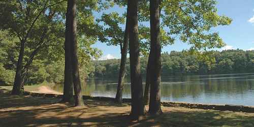
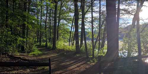
159 Walker Pond Road 508-347-9257The major activities at the park in the woods are camping and hiking. The campground has 60 sites. Campers only may use the swimming beach at Walker Pond . The pond also is liked for fishing and canoeing. During the summer, Wells offers guided walks and evening campfire programs. Hiking trails on the property total 10 miles of walking; ORVs may not be used on hiking trails. A well-liked walk goes to the vista at Carpenter Rocks. Wells is five miles by car from Old Sturbridge Village, a living history museum of New England village life in the 17th century. - Trail Map (PDF)
Hopkinton, MA
Hopkinton State Park
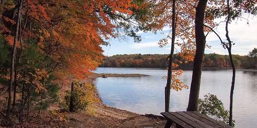
164 Cedar Street 508-435-4303Hopkinton State Park includes the beautiful Hopkinton Reservoir. Recreational activities including two swimming beaches (staffed by life guards May through Labor Day), stocked fishing, a group picnic site and a dozen shaded, picnic areas with picnic tables and charcoal grills, on a first-come, first-served basis. There are 10 miles of marked trails, open field space and a concrete boat ramp only for canoes and kayaks. Seasonal boat rentals are available. Restrooms are open except in winter.
Trail system is for all users, including hikers, mountain bikers, horseback riders, and cross country skiers are welcome. Snowmobiles are allowed when snow cover is at least four inches deep.
On busy summer days and holidays, this park may reach its parking capacity and be closed for limited periods of time. For closure updates, follow the park on Twitter at @MassDCR. - Trail Map (PDF)
Boston, Cambridge, Watertown, Waltham, Newton, Weston, Needham, Wellesley, Dover, ME
Charles River Reservation
String of urban parks along Charles River offers walking, biking, paddling, boat ramps
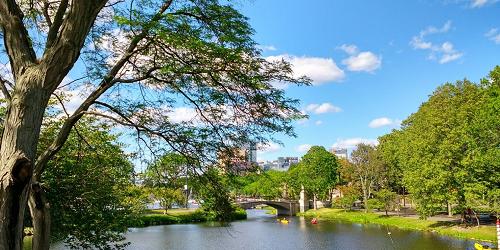
Charles River Reservation is a park extending from Boston Harbor up Charles River for 20 miles. It touches recreational properties and parks in Boston, Cambridge, Watertown, Waltham, Newton, Weston, Needham, Wellesley, and Dover. Recreation in the reservation includes walking, bicycling, bird watching and water sports like rowing and paddling.
The part of the reservation from downtown Boston is the Charles River Basin, which includes the Esplanade on the Boston side. The esplanade is the location of the July Fourth concert. The Upper Charles River section begins at Watertown Square and extends to Riverdale Park in West Roxbury.
Sagamore Beach, MA
Scusset Beach State Reservation
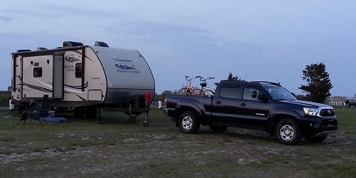
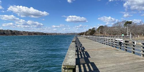
20 Scusset Beach Road 508-888-0859Scusset Beach State Reservation is on Cape Cod Bay at the east end of the Cape Cod Canal. Best for swimming and camping, particularly trailer camping. The camping area has 98 sites, and it is used heavily by trailer campers. Visitors to this reservation love to watch the variety of boats and ships passing through the canal. For salt water fishermen, there is fish pier, a breakwater, and two miles of frontage along the canal. A picnic area and bicycling along the canal are also available. - Campsite Reservations
Saugus, MA
Breakheart Reservation – Pearce Lake
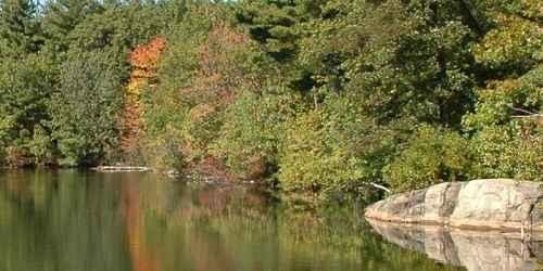
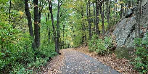
177 Forest Street 781-233-0834Breakheart Reservation is a 640-acre hardwood forest with a supervised swimming area at Pearce Lake, one of the few freshwater swimming spots north of Boston. An extensive trail system through the forest touches many remote areas of the reservation. Popular activities are fishing in Silver and Pearce Lakes, hiking the trails, and wildlife watching by the Saugus River. Open year-round, dawn to dusk. - Trail Map (PDF)
East Brimfield, MA
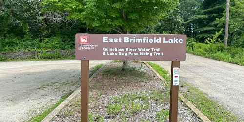
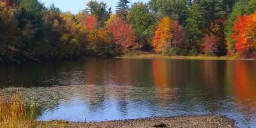
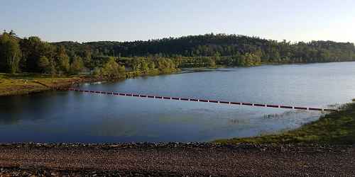
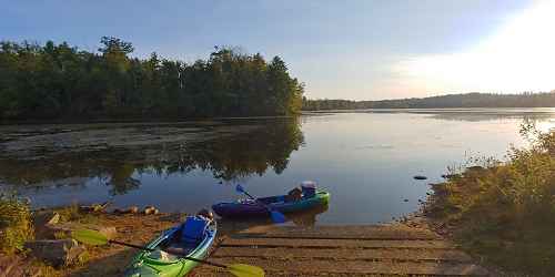
East Brimfield Lake / Holland Pond / Lake Siog / Quinebaug River Recreation Area
Route 20 and East Brimfield Holland RoadThis large recreation area encompasses the East Brimfield Lake and Holland Pond and the Quinebaug River, which links the two water bodies. Activities include trout fishing from stocked pond; a water release in April with canoe races; swimming, boating, and water skiing on East Brimfield Lake; canoeing on the Quinebaug River Canoe Trail; hunting for deer and turkey; fishing; ice fishing for Northern pike, pickerel, and bass.

Lincoln, MA
Minute Man National Historical Park
210 North Great Road 978-369-6993The starting point for the American Revolution happened here. Visitors will enjoy tours, exhibits and talks. Sites include the Minute Man statue and the North Bridge, site of the first shot fired in the Revolution.
Hours: The park itself and Hartwell Tavern are open year-round, sunrise to sunset. Visitor Centers are open early May thru the end of October, 9am - 5pm.