Walking and Hiking
Greater Boston and Cambridge have parks and waterfront places to walk
Plan a romantic getaway or a dog-enhanced vacation then see Boston on foot. Harborwalk’s self-guided tour traces the Boston waterfront. The Rose Kennedy Greenway has water features and fountains for cooling off on hot summer days. You’ll find foot paths and trails for hiking, horseback riding, bird watching, plus nature preserves and historic sites. Walk shoreline and tidal pools, woodland back roads, meadows and marshland. The Emerald Necklace urban parks and the Back Bay Fens offer gardens and more. The Minuteman Bikeway is set on a former railroad and includes refreshment stops and restrooms.
Follow these links for : Sightseeing - State & Local Parks - Family Activities
31 listings
Boston, MA
Boston Harbor Islands National Park Area
191w Atlantic Avenue 617-223-8666Islands in Boston Harbor, and easy ferry ride from downtown. Swimming, hiking, picnicking. A fun day trip
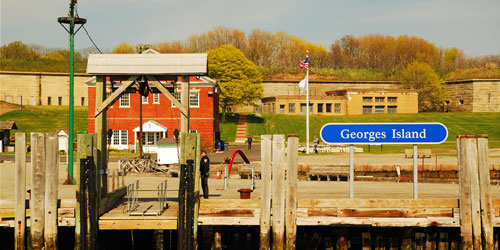
There are many walking trails on many of the Harbor Islands. Lovells Island has a rocky coastline and tidepools for wading. Explore the remains of historic Fort Standish. On Georges Island, take a relaxing stroll around Civil War-era Fort Warren. There are also plenty of walking and hiking paths on Spectacle Island, Bumpkin Island, Peddocks Island, Thompson Island, Worlds End Island, and Webb Memorial Island. In addition to historic forts, you'll walk through historic sites like old Native American buildings and a children's hospital. Grape Island is full of colorful wildlife and flora. On Deer Island, hike or walk a 2.6-mile shoreline path and 2 miles of scenic hill trails. For ferry schedule and ticket information, click the ticket icon below this listing.
Season & Hours: Mid-May to mid-October; see ferry schedule
Boston, MA
The Rose Kennedy Greenway
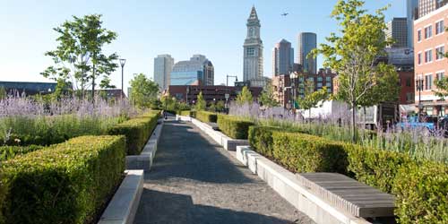
617-292-0020The Rose Kennedy Greenway is a mile-and-a-half string of parks in the heart of Boston. The Greenway links six parks: North End Park, Armenian Heritage Park, Wharf District Park, Fort Point Channel Park, Dewey Square Park and Chinatown Park. Seven water features and fountains are popular on hot summer days. The Greenway Carousel, open from mid-April through December, is a new Boston landmark. Fourteen fanciful characters on the carousel are native to Massachusetts.
The Greenway hosts art exhibits, festivals, a farmers market, and a concert series. The Greenway is easily accessible by several MBTA trains: the Red Line, Silver Line and Commuter Rail at South Station; the Blue Line at the Aquarium; and the Orange and Green Lines at Haymarket. The Greenway is wheelchair accessible. - Interactive Map
Needham, MA
Cutler Park Reservation
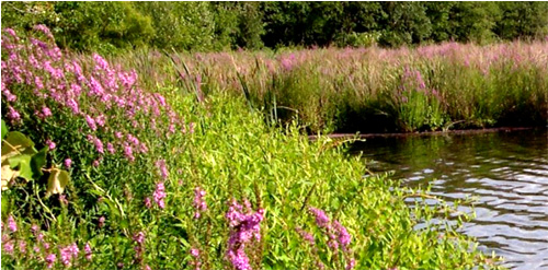
84 Kendrick Street 617-698-1802This large park is an aquatic for the freshwater marsh on the middle Charles River. Activities here include bird watching and hiking. The1.5-mile Kendrick Pond loop trail moves through the park's major highlights. Parking is free at entrance.
Hours: Dawn to dusk - Trail Map (PDF)
Boston, MA
Walk to the Sea
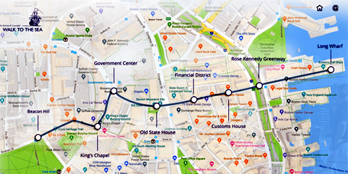
Beacon Hill to Long WharfThe Walk to the Sea is a self-guided trail from the State House on Beacon Hill, overlooking Boston's ancient Common, to Long Wharf, on Boston Harbor. The one-mile-long walk passes historic landmarks and descends one hundred feet. Large panels are situated along the walking trail to guide and educate walkers.
Milton, MA
Blue Hills Trailside Museum
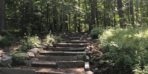
1904 Canton Avenue 617-333-0690Museum offers hiking trails, live animals and regularly scheduled programs. There is an admission charge.
Chelsea, Medford, & Somerville, MA
Mystic River Reservation
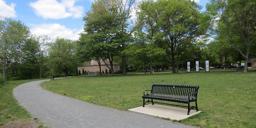
617-727-5380Series of parks and green spaces along Mystic River; accessible by MBTA trains; walking, biking, picnicking, swimming
The Mystic River Reservation is a string of parks and green spaces along the Mystic River. There is plenty of space for walking and jogging along the river front. These green spaces also are accessible from Boston and Cambridge by MBTA commuter trains.
Waltham, MA
Beaver Brook Reservation
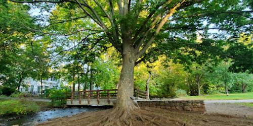
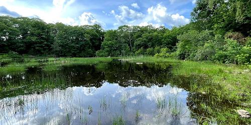
Mill Street 617-727-5290Small nature preserve offers biking paths, fishing and swimming areas, interpretive programs, and small historic sites. Full toilet facilities are available.
Norfolk, MA
Stony Brook Nature Center
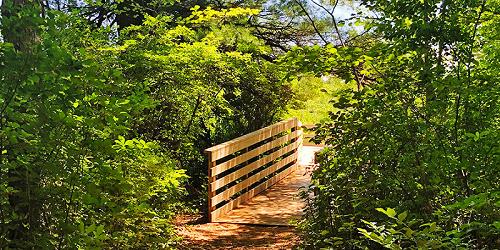
108 North Street 508-528-3140This nature center includes a self-guided hiking trail. An extensive boardwalk system helps visitors explore Teal Marsh and its wildlife. The Nature Center is currently closed for construction, but nature trails are still open to the public. Currently taking registrations for Summer Nature Camp.
Boston, MA
Back Bay Fens Park of the Emerald Necklace
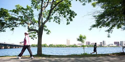
The Emerald Necklace is a series of six historic urban parks from the Back Bay of Boston to Dorchester. It was designed a century ago by landscape architect Frederick Law Olmsted. The necklace includes places as varied as a shaded bench, basketball courts, an arboretum, and a zoo. One of the parks, Back Bay Fens, is an eclectic mix of formal and community gardens, ball fields, memorials and historic structures.
To Get There: Avoid driving; parking is difficult. To get to the park, use any of these trains of the Massachusetts Bay Transit Authority (MBTA or "the T" ): Green B, C Lines: Hynes/Mass Ave, Kenmore; Green D Line: Hynes/Mass Ave, Kenmore, Fenway; Green E Line: Museum of Fine Arts, Northeastern University; Orange Line: Ruggles.
Medfield, MA
Rocky Woods
Hartford Street 508-785-0339Just 30 minutes from downtown Boston
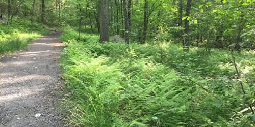
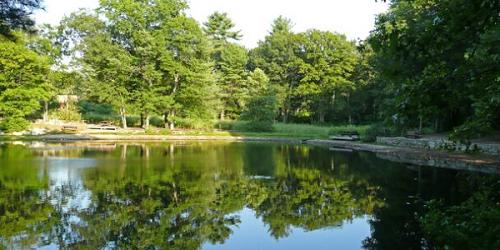
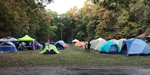
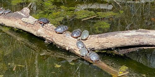
Rocky Woods features over six miles of former woods roads and footpaths rambling through rolling hills of white pine and red oak. Explorers of the four ponds on the reservation may find bullfrogs and painted turtles, and visitors can enjoy catch-and-release fishing from these shores. Recent landscape renovations have created a scenic meadow, grassy common areas, sandy shorelines, and plantings of ornamental shrubs. Restrooms, picnic tables and a pavilion are onsite, and future plans include creating a visitor center and improved children's play area. - Trail Map (PDF) - Campsite Map (PDF)
Medfield, MA
Noon Hill
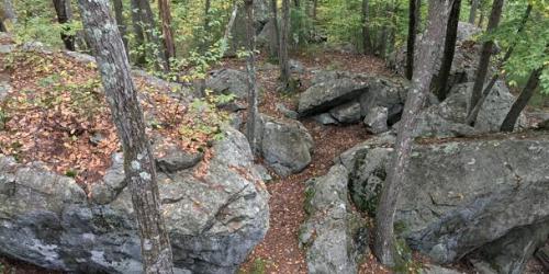
Noon Hill Road 508-785-0339The midday sun passes over the ridge of Noon Hill, giving the Reservation its name. Follow the trail leading to the 370-foot peak, and enjoy sweeping views south across the rolling hills of Walpole and Norfolk. Noon Hill’s 4 ½ miles of trails along forested ridges and slopes feature pine, beech, birch, and hemlock, offer glimpses of turn of the century low stone walls, and in spring, the forest floor is scattered with wildflowers. Picturesque Holt Pond was created around 1764, when Sawmill Brook was dammed to create a mill pond.
Quincy, MA
Quincy Shores Reservation
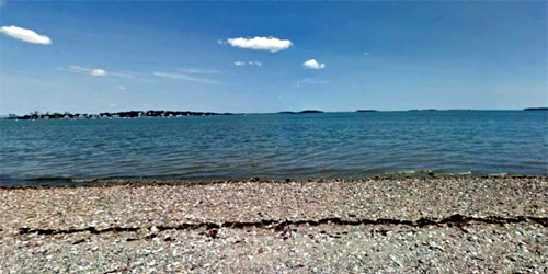
Quincy Shore Drive 617-727-5290The two-mile beach at Quincy Shore Reservation is popular for its jogging and biking. Caddy Park, at the south end of the beach, has 15 acres of fields and marsh, as well as a play area, lookout tower, bath house, and picnic tables. The site which has a short loop trail, offers views of Quincy Bay and 144-acre Squantum Marsh. To the north is Moswetuset Hummock, a a mix of woodland trails and marshland. No dogs allowed on beach May 1 through September 15. Accessible by the Boston MBTA light rail system.
Hours: Year-round, dawn to dusk. Free on-site parking is available.
Easton, MA
Sheep Pasture Farm & Trails
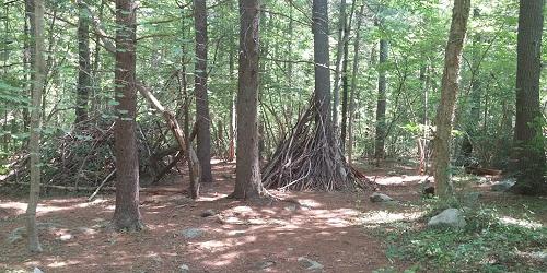
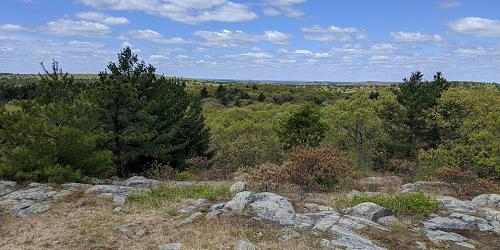
307 Main Street 508-238-6049Sheep Pasture is a former family farm that is now operated as a public open space by the Natural Resources Trust of Easton. People – with their pets on leash -- are welcome to enjoy the land and its walking trails every day of the year, from dawn to dusk. The Sheep Pasture has trails that are well-maintained and farm animals for people to visit. The property is open for walking, bird watching, picnicking, and nature photography. - Trail Map
Medfield, MA
Fork Factory Brook
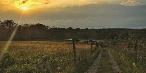
Hartford Street 508-785-0339Fork Factory Brook’s easy network of trails track the edges of lovely hay fields and meander through wooded upland offering views of surrounding forested wetlands and the remains of a 19th-century pitchfork mill. For a brief time after the Civil War, owners used the mill for a paper cutting enterprise, but it fell into disuse with the advent of coal-power. When Main Street was widened in 1927, the mill was dismantled and the granite reused to construct a house on Foundry Street. Much of the mill site now sits under Route 109, and all that remains is its broad earthen dam and stone raceway.
Hingham, MA
Weir River Farm
Turkey Hill Lane 781-740-7233Originally part of a picturesque, early-twentieth-century country estate, Weir River Farm encompasses 75 acres of fields and pastures, woodlands, and a complex of farm and estate buildings, including barns and a carriage house. On a clear day, visitors can view Boston Harbor and the North Shore from the top of Turkey Hill. The farm is being managed to preserve its historic pastoral character, and offers public programs throughout the year, as well as opportunities for hiking, bird watching and picnicking.
Hyde Park, MA
Stony Brook Reservation
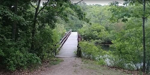
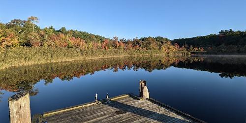
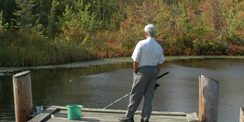
Turtle Pond Parkway 617-333-7404Sunfish and Perch await anglers in Turtle Pond at this 475-acre park and wildlife refuge, featuring fishing areas, biking and hiking trails, public swimming, and picnic areas. Programs are scheduled throughout the year.
Hingham, MA
World’s End
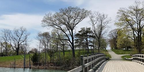
250 Martin’s Lane 781-740-6665This beautiful property is a 250-acre coastal park where 4.5 miles of walking paths and 19th-century carriage paths meander among rolling hills, rocky shorelines, and open fields. The tree-lined carriage paths were designed by landscape architect Frederick Law Olmsted. Walkers enjoy views of the Boston skyline, which is 15 miles away, across a cove of Massachusetts Bay. World’s End is managed by the Trustees of Reservations.
Hours and Admission: World’s End is open to visitors year-round, 8am to sunset. Admission is $8 on weekends and $6 during the week. Parking is $10 for non-members - advance parking passes are required on weekends and strongly recommended during the week.
South Boston, MA
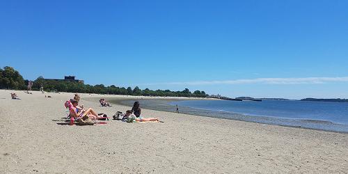
Castle Island, Pleasure Bay, M Street Beach & Carson Beach
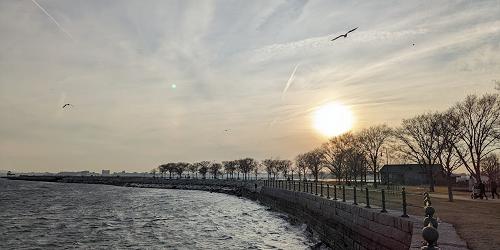
2010 Day Blvd. 617-727-5290Bayside string of parks and beaches easily accessible to Boston; walking, swimming, fishing
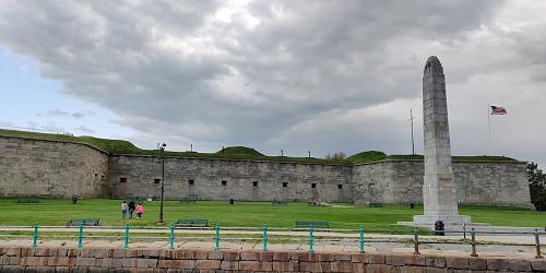
Fort Independence has two main hiking trails; 1.8-mile Pleasure Bay Loop, overlooking scenic Pleasure and Dorchester Bays, and .79-mile-long Castle Island Loop, which leads you in a ring around the Fort. You'll find a telephone located halfway 'round the Bay trail at Sugarbowl Shelter. - Park Mark (PDF)

Boston, MA
Literary Trail of Greater Boston
Omni Parker House - 60 School Street 617-350-0358A tour for everyone who loves history, good books, and beautiful settings. Discover the homes, gathering places, and landscapes of America's most beloved authors on a guided tour, or on your own with the Self-Guided Tour Package. Travel from Boston to Cambridge and Concord and visit sites such as Walden Pond, Longfellow House, Concord Museum, and Orchard House. Tours depart from the Omni Parker House the second Saturday of the month, beginning August.
Carlisle, MA
Malcolm Preserve
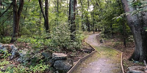
Stearns Street 978-840-4446The Malcolm Preserve provides a northern gateway to some 1,300 acres of conservation land. A short hiking trail connects the Malcolm Preserve with Two Rod Road, which leads through historic Estabrook Woods. The land comprising the Malcolm Preserve and the adjacent Malcolm Meadows development was once part of a 38-acre farm which raised fruit crops, including raspberries, strawberries, apples, peaches, and pears, as well as vegetables and cut flowers for local markets.
Cohasset & Hingham, MA
Whitney & Thayer Woods
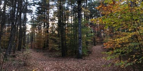
Route 3A at Howes Lane 781-740-7233The ten miles of trails at Whitney & Thayer Woods include a memorial walk through a lovely stand of flowering shrubs, Ode's Den, (named after Theodore "Ode" Pritchard, who lived under one of the boulders after losing his home in 1830), and the 187-foot summit of Turkey Hill, affording spectacular views of Cohasset Harbor. Visitors can also view a cinderblock NIKE building, once part of an anti-missile radar control station sited here during the Cold War to thwart potential nuclear attack by the Soviet Union.
Medfield, MA
Medfield Rhododendrons
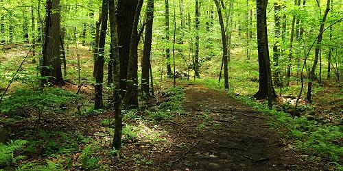
Woodridge Street 508-785-0339Home to important and rare stand of Rhododendron maximum, the great laurel or rosebay rhododendron, one of only three species of evergreen rhododendrons native to eastern North America. Though listed today as a "threatened" species, rosebay rhododendrons were once more common in Massachusetts; approximately half of the historical populations in Massachusetts have been lost. Currently, there are seven known populations, and the Medfield Rhododendrons colony represents the largest and easternmost population in Massachusetts.
Chestnut Hill, MA
Hammond Pond Reservation
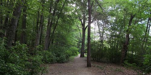
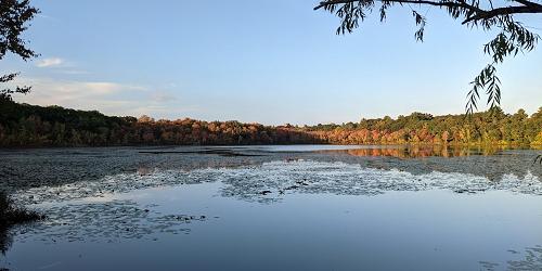
Hammond Pond Parkway 617-333-7404Visitors to this small nature preserve can enjoy fishing, hiking and biking trails, and picnic areas.
Ashland, MA
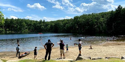
Ashland State Park
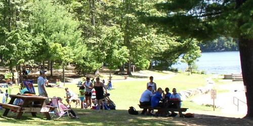
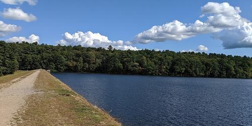
162 West Union Street 508 881-4092This large park on a reservoir offers all manner of water sports along with extensive walking trails.
Parking: Available mid-May to Labor Day, $8 daily for MA vehicles and $30 daily for out-of-state vehicles. - Trail Map (PDF).
Boston, MA
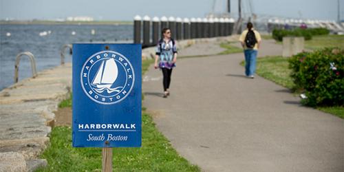
Harborwalk
Walk starts at Old State House, 206 Washington Street 617-482-1722A self-guided walk that traces the history of the Boston waterfront. The tour begins at the Old State House, brochures are available at the National Park Service Visitor's Center on State Street.
Milton, MA
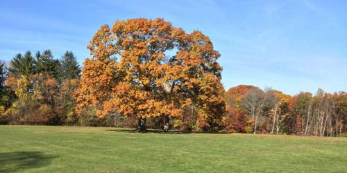
Governor Hutchinson’s Field
Adams Street 781-821-2977Named for Governor Thomas Hutchinson, the last Royal Governor of the Massachusetts Bay Colony, this hilltop meadow offers views of the Neponset River, its tidal salt marshes, the Boston skyline, and the Boston Harbor Islands. Hutchison’s over royalist leanings made him the object of public ridicule in the years leading up to the Revolutionary War, and in 1743 he built for his family a modest country estate on Milton Hill to escape the city. All that remains of the estate today is the field and a "ha-ha" which formed the western boundary of the formal garden.
Dover, MA
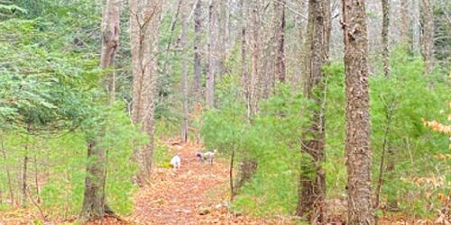
Chase Woodlands
Farm Road 508-785-0339Chase Woodlands’ 2-½ mile network of gently sloping paths wind through peaceful groves of white pine, beech, hemlock, and yellow birch. As in most of Massachusetts, this woodland consists of second- and third-growth trees, the original virgin forests having been felled to clear land for agriculture in the late eighteenth and early nineteenth centuries. Picturesque stone walls traverse the woods, marking former farm fields from the property’s agricultural past.
Medfield, MA
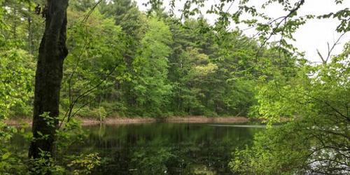
Shattuck Reservation
121 Causeway Street 508-785-0339Across the street from Noon Hill, Shattuck Reservation comprises a forested upland neck of oak and pine overlooking a wet meadow and red maple swamp. Visitors can enjoy hiking, horseback riding and bird watching. A 1.5 mile loop trail leads from the neck across wetlands to two islands that offer views of the Charles River, and the reservation's old stone walls indicate that it was once nineteenth-century pasture.
Dover, MA
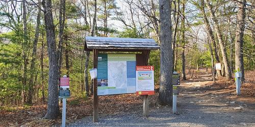
Noanet Woodlands
Dedham Street 781-821-2977Named after a chief of the Natick Indians, Noanet Woodlands features 17 miles of shady trails and wooded roads ideal for walking, cross-country skiing, snowshoeing and horseback riding, and a hike up Noanet Peak rewards visitors with a view of Boston's skyline above the forest canopy. In the early nineteenth century, Noanet Brook was home to a large rolling and slitting mill that made barrel hoops, wheel rims, nail plates, and nail rods from forged iron. Today the mill's twenty-four-foot-high dam and twenty-foot-deep wheel pit are preserved, but visitors will have to imagine the towering thirty-six-foot wheel that powered the mill.
Arlington to Bedford, MA
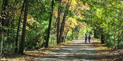
The Minuteman Bikeway
617-641-4891The Minuteman Bikeway passes through the area where the American Revolution began in April 1775. Built on an inactive railroad, the trail is used by local residents as a convenient, eco-friendly way to reach train stations. The path is 12 feet wide, plowed in the winter, and includes lots of stops for refreshments and restrooms at Depot Park in Bedford, the Lexington Visitor’s Center, Alewife Station, and business districts along the bikeway. Trail access in Bedford is available at the intersection of South Road and Loomis Street (exit 31B from I-95); at Lexington Center and Arlington Center, and at the Alewife T-Station. - Trail Map
Natick, MA
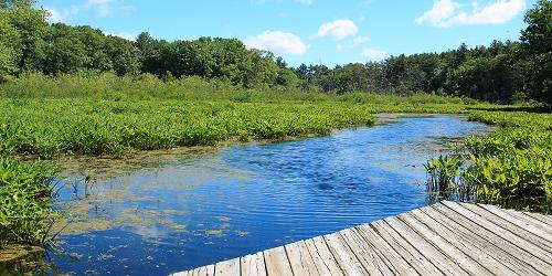
Broadmoor Wildlife Sanctuary - Mass. Audubon Society
280 Eliot Street 508-655-2296At this sanctuary, visitors can enjoy nine miles of hiking trails, in addition to lectures and other programs in a renovated horse barn. - Trail Info & Map