Biking
Get on your bike and explore Boston's and Cambridge's fabulous biking trails
Get on your bike and head out for the territory ahead. And what a territory it is. In Boston, bike the Riverbend, a scenic one-mile stretch of Memorial Drive closed to traffic on Sundays. The 18-mile Charles River Bike Path follows both banks of the Charles River. Great riding abounds with miles of paved and unpaved bike trails, parks, neighborhoods, railroad beds, green spaces, historic areas, and places you can also walk, picnic and swim. Bike from your hotel and make it part of your health regime while visiting.
Follow these links for : Sightseeing - Urban Parks - Family Activities
8 listings
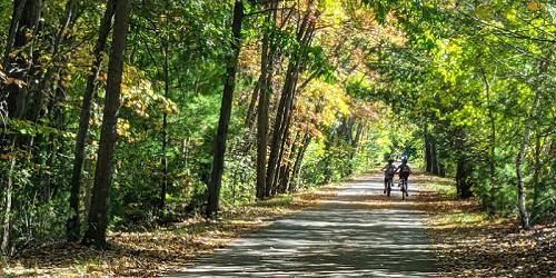
Arlington to Bedford, MA
The Minuteman Bikeway
617-641-4891Total Length: 10.13 miles
The Minuteman Bikeway passes through the historic area where the American Revolution began in April 1775. Built by Massachusetts on an inactive railroad, the trail is used by local residents as a convenient, eco-friendly way for commuters to reach train stations. The path is 12 feet wide, plowed in the winter time, and includes lots of stops for refreshments and restrooms at Depot Park in Bedford, the Lexington Visitor’s Center, Alewife Station, and business districts along the bikeway. Trail access in Bedford is available at the intersection of South Road and Loomis Street (exit 31B from I-95); at Lexington Center and Arlington Center, and at the Alewife T-Station. - Trail Map
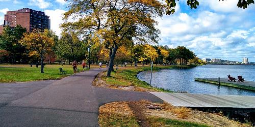
Boston, MA
Charles River Bike Paths in the Charles River Reservation
617-626-1250Total Length: about 18 miles
This 14-mile loop follows both banks of the Charles River from the Museum of Science in Boston to Watertown Square in Watertown. The quality varies from 12 feet wide with center stripes to 4 feet wide with 6-inch drops at the edges. In some places it is barely wide enough for one bicycle to pass another; in others, there are separate bicycle and pedestrian paths. The path can be entered at any point on the Cambridge and Watertown sides, from all but the Longfellow and Boston University bridges on the Boston side, and from footbridges over Storrow Drive. The Urban Parks Division of the Massachusetts Department of Conservation and Recreation (DCR) manages and maintains this path.
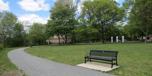
Chelsea, Medford, & Somerville, MA
Mystic River Reservation
617-727-5380Series of parks and green spaces along Mystic River; accessible by MBTA trains; walking, biking, picnicking, swimming
The Mystic River Reservation is a string of parks and greenways along the Mystic River. It includes lots of trails for biking and walking. Accessible from Boston and Cambridge by MBTA commuter trails.
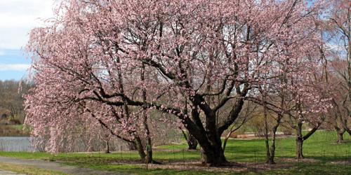
Jamaica Plain, MA
Arnold Arboretum
125 Arborway 617-524-1718This 125-year-old Boston city park and Harvard research center was designed by Frederick Law Olmsted and has a wonderful set of paved roads that are mostly closed to motorized traffic. Peters Hill, on which you now have to walk the last 200 feet to the summit, provides the best grounded view of Boston from within its boundaries. Trail Map (PDF)
Cambridge, MA
Riverbend Park
Memorial DriveTotal length: 1 mile
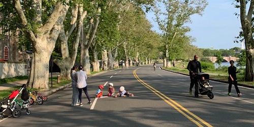
Riverbend is not a park, but rather the informal name for a one-mile stretch of Memorial Drive in Cambridge from the Eliot Bridge to Western Avenue that is closed to vehicle traffic on Saturdays and Sundays from 8am - 7pm from late April to late November.
HIngham, MA
Bike Trail at Wompatuck State Park
Union Street 781-749-7160Total Length: 12 Miles
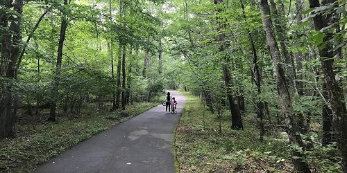
Wompatuck State Park is named for a 17th century Indian Chief whom the colonists knew as Josiah Wompatuck, and was later used by the U.S. military during World War II as an ammunition depot. Bicyclists who venture to Wompatuck State Park will find 12 miles of paved bike trails flanked by a peaceful wooded campground. One of the park’s main attractions is Mt. Blue Spring, a natural source of fresh drinking water to which visitors can help themselves at no cost. - Trail Map (PDF)
Back Bay in Boston to Roxbury and Jamaica Plain, MA
Southwest Corridor Park
Along the Orange Line of the MBTA 617-727-0057Total length: 6 miles
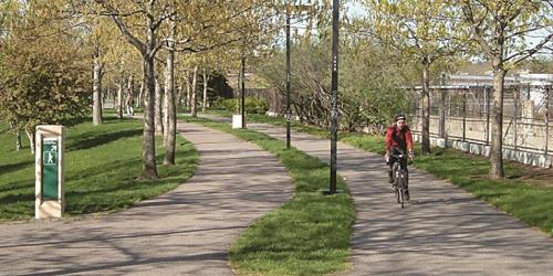
The Southwest Corridor Park is a 4.7 mile, 52-acre, linear park stretching from the Back Bay to Forest Hills. It links the neighborhoods of South End, Back Bay, Roxbury and Jamaica Plain with a street-level, green open space for parkland and recreation. Approximately a quarter of the parkland is decked over the railroad tracks. Adjacent Streets, starting from the Boston Back Bay T station, include Carleton Street, Columbus Avenue, Tremont Street, Centre Street, Lamartine Street, Amory Street. Adjacent to Arnold Arboretum at the southern end.
Boston, MA
Emerald Necklace Parks
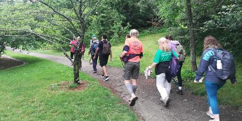
617-522-2700This is a series of links between parks from the Public Garden to Franklin Park, also passing through Back Bay Fens, Riverway, Olmsted Park, Riverway, and Arnold Arboretum. - Trail Map