Walking and Hiking
North of Boston/Merrimack Valley has woods and beach places to walk
26 listings
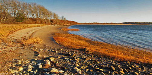
Newburyport, MA
Hellcat Interpretive Trail at Parker River National Wildlife Refuge
Headquarters, 6 Plum Island Tpk. 978-465-5753From the 6.5 mile long Wildlife Drive, visitors can see wildlife in salt marsh, dune, and maritime forest. The Hellcat Interpretive Trail boardwalk includes a marsh and dune loop. Other boardwalks provide access to the refuge’s ocean beach (beaches are closed to protect piping plover from April 1 through late summer). Two observation towers, the handicap-accessible Pine Trail, and several more wildlife viewing areas provide places to enjoy wildlife. Trail guide. Stay on trails and use protection from ticks and other biting insects. Map
Admission: Daily entrance: $5 for cars; $2 for bicycles and pedestrians; an annual pass, $20.
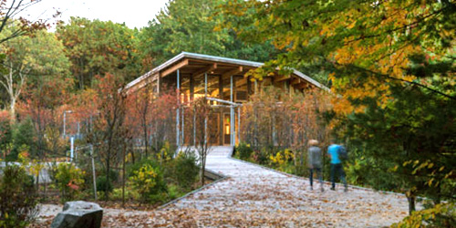
Concord and Lincoln, MA
Walden Pond State Reservation Trails
915 Walden Street 978-369-3254Henry David Thoreau lived at Walden Pond from July 1845 to September 1847. His experience at Walden provided the material for the book Walden. Because of Thoreau's legacy, Walden Pond has been designated a National Historic Landmark and is considered the birthplace of the conservation movement. The Reservation includes the 102-foot deep glacial pond. Hiking trails travel around the pond and pass the replica of Thoreau's cabin. Year-round interpretive programs and guided walks are offered as well as a gift shop, bookstore and a gallery. Trail map.
Hours: Open year-round for day use only. Hours vary by season. Call 978 369-3254 for current park hours.
Fees: Daily parking fee is $8-$10.
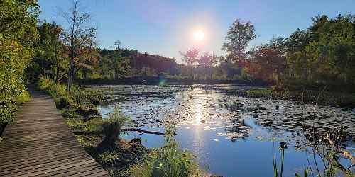
Topsfield, MA
Ipswich River Wildlife Sanctuary
87 Perkins Row 978-887-926410 miles of trails and an observation tower are set in this natural preserve. - Trail Info & Map
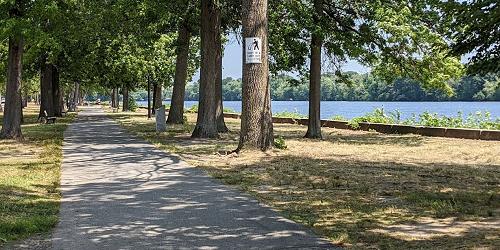
Lowell, MA
Lowell Heritage State Park
160 Pawtucket Boulevard 978-458-8750This park displays and educates visitors about Lowell’s 19th-centry textile mills and the lives of mill workers. The park includes two miles of landscaped esplanade along the Merrimack River and a Victorian garden in the downtown. Paths are pleasant for walking and enjoying sights along the river. Outdoor concerts and seasonal events take place along the esplanade.
Stoneham, MA
Middlesex Fells Reservation
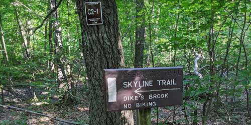
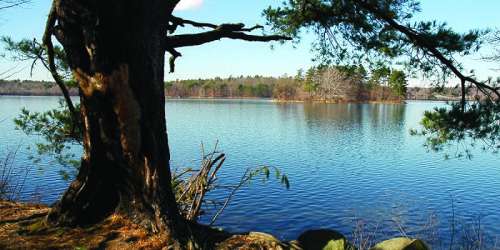
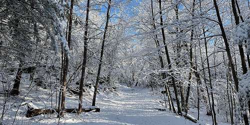
4 Woodland Road 617-727-1199Natural refuge set on over 2,000 acres. Visitors here can enjoy biking, hiking and cross-country ski trails. Canoeing, fishing, and swimming areas are offered, as well as a visitor's center with historic information. - Trail Map (PDF)
Manchester-by-the-Sea, MA
Coolidge Reservation
Summer Street (Route 127) 978-356-4351A short easy hike to the tip of Coolidge Point rewards the visitor with the magnificent Ocean Lawn views of Magnolia Harbor, Kettle Island and Great and Little Misery Islands. At one time, this vast lawn was the site of the Coolidge family's "Marble Palace," a Georgian-style mansion designed in 1902 by Charles McKim. The Ocean Lawn is now an open, grassy expanse broken only by large shade trees. Picturesquely edged by rocky headlands that extend into the sea, it is bordered on the west by Kettle Cove and Black Beach, and is a classic New England landscape, perfect for picnicking.
Andover, MA
Harold Parker State Forest
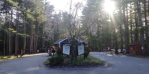
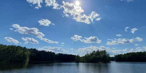
133 Jenkins Road 508-686-3391Walking and hiking and mountain biking may be done in this large, forested property only 20 miles from the Greater Boston area. - Trail Map (PDF)
Rockport, MA
Halibut Point State Park
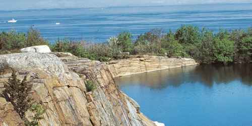
Gott Avenue 508-546-2997This beautiful promontory above the Atlantic and just outside the town of Rockport is wonderful for walking and enjoying nature. The Sea Rocks property, next to the state park, also welcomes people for hiking, bird watching, and picnics. - Park Map (PDF)
Salisbury, MA
Salisbury Beach State Reservation
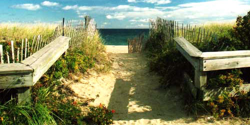
1 Beach Road - Route 1A 508-462-4481Boardwalks over the dunes offer a wonderful way to easily get out into the dunelands for gorgeous strolls among spectacular vistas.
Saugus, MA
Breakheart Reservation – Pearce Lake
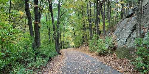
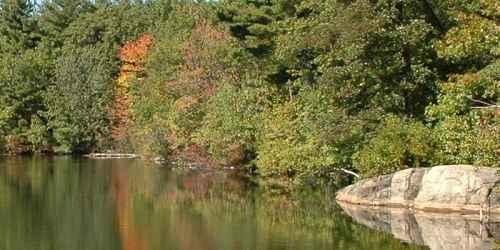
177 Forest Street 781-233-0834Many walking trails reach to all parts of this 600-acre property of hardwood forests north Boston. Lots of peaks above 200 feet provide good climbs and views of distant Boston. - Trail Map (PDF)
Rockport, MA
Halibut Point Reservation
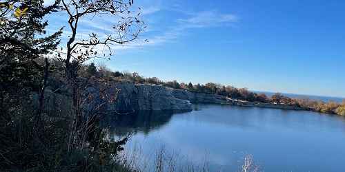
13 Gott Avenue 978-526-8687Easy hiking trails lead to scenic vistas, a low rocky coastal shelf with impressive crashing waves, and interesting tide pools. Cooperatively managed with adjacent Halibut Point State Park, the two miles of trails edge the former Babson Farm Quarry, now filled by natural underground springs. Granite quarried here at the turn of the 20th century paved thousands of city streets and built bridges, tunnels, monuments, warehouses, and buildings, such as Boston's Custom House Tower.
Newburyport, MA
Parker River National Wildlife Refuge on Plum Island
Visitor Center, 6 Plum Island Tpk. 978-465-5753Parker River National Wildlife Refuge is a protected place for migratory birds located on the barrier beach of Plum Island. Visitors can walk boardwalks and see sandy beach and dune, cranberry bog, maritime forest and shrub land, and freshwater marsh. Stunning! See full description of Parker River National Wildlife Refuge.
Arlington to Bedford, MA
The Minuteman Bikeway
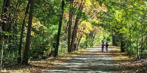
617-641-4891The Minuteman Bikeway passes through the area where the American Revolution began in April 1775. Built on an inactive railroad, the trail is used by local residents as a convenient, eco-friendly way to reach train stations. The path is 12 feet wide, plowed in the winter, and includes lots of stops for refreshments and restrooms at Depot Park in Bedford, the Lexington Visitor’s Center, Alewife Station, and business districts along the bikeway. Trail access in Bedford is available at the intersection of South Road and Loomis Street (exit 31B from I-95); at Lexington Center and Arlington Center, and at the Alewife T-Station. - Trail Map
Lincoln, MA
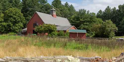
Drumlin Farm Wildlife Sanctuary
208 South Great Road 617-259-2200Visitors to this nature preserve will enjoy hiking trails, live farm animals and hayrides. During the winter season sleighrides are offered. - Trail Info & Map
Ipswich, MA
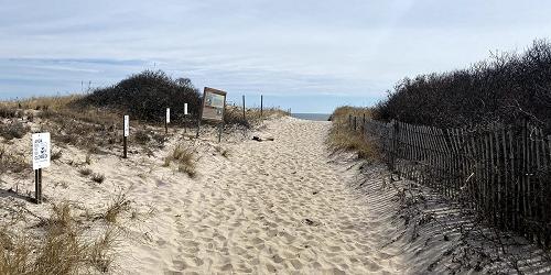
Sandy Point State Reservation
Parker River Wildlife Refuge, Refuge Road 508-462-4481Beautiful barrier island and ocean beach for walking, birdwatching
Sandy Point is part of Plum Island, a beautify barrier island with a coastal beach. People enjoy the property for walking, beachcombing, fishing, and birding. It is the home and nesting region for the piping plover. Visitors must enter through the adjacent Parker River National Wildlife Refuge. Parking lots are available, but they can fill up, and when this happens the reservation is temporarily closed. Pedestrians may enter the beach but muse avoid fenced areas to protect birds and dunes. Hours: sunrise to sunset.
New Salem, MA
Bear’s Den
Neilson Road 978-840-4446On its way to the Quabbin Reservoir, the Middle Branch of the Swift River passes through the steep granite cliffs of Bear's Den. A short trail forks at the entrance - the left spur leading to the gorge, the right leading to the stream bed below the falls. In 1675, the great chief King Philip met here with neighboring chieftains to plan attacks on Hadley, Deerfield, and Northampton. A black bear shot on the property gives the Reservation its name, though more romantic - yet unsubstantiated - stories exist.
Essex, MA
Stavros Reservation
Island Road 978-526-8687Stavros Reservation’s most popular feature is White's Hill, a scenic overlook that offers panoramic views of Crane Beach, the Crane Wildlife Refuge, and Halibut Point. An easy trail leads to the fieldstone base of a former fifty-foot-high tower constructed in the 1890s for property owner Lamont G. Burnham, Esq. The structure was used as a pumping tower to supply water to the Burnham farm, and it was said that Mr. Burnham stationed a sentry there to lookout for coal barges rounding Halibut Point. When the sentry identified a boat belonging to Burnham, a fast horse would be dispatched to Newburyport to put a price on the cargo.
Salem, MA
Misery Islands
Salem Sound 978-526-8687Ruins of a turn-of-the-century summer colony...
Explore Great and Little Misery Islands for stunning coastal views, scenic hiking trails, ruins of a turn-of-the-century summer colony, even the remains of a shipwreck! A two-mile system of trails provides access to most parts of Great Misery Island, and Little Misery is accessible by wading across a narrow, shallow channel at low tide. The name Misery Islands arose from the ordeal of shipbuilder Robert Moulton, who became stranded on the islands for three miserable days during a December storm in the 1620s. Today Misery Islands are easily accessible by boat or by ferry service from Salem.
Salem, MA
Essex National Heritage Area
New Liberty and Essex 508-740-1650The area offers visitors three Heritage Trails to walk: The maritime trail, the early settlement trail, and the industry/textile and leather trail.
Ipswich, MA
Appleton Farms & Grass Rides
Route 1A 978-356-5728Established in 1638, Appleton Farms is one of the oldest continuously operating farms in the United States. Scenic views of rolling grasslands, grazing livestock, ancient stone walls, four miles of tree-lined carriage paths, and historic farm buildings welcome visitors for hiking, bird watching, horseback riding, cross-country skiing and snowshoeing. Farm operations include a community-supported agriculture program, a retail feed and mulch haying operation, livestock and dairy programs, and educational programs are offered to the public throughout the year.
Lynn, MA
Lynn Woods
Great Woods and Penny Brook Roads 617-593-7773This 2,200-acre municipal forest is the perfect spot for hiking, rock climbing, bird watching, cross-country skiing or just enjoying the view. A rose garden adds to the scenery.
Hours: Sunrise to sunset. No charge.
Topsfield, MA
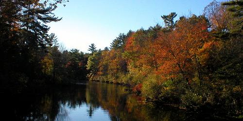
Bradley Palmer State Park
40 Asbury Street 508-887-5931This expansive park of generous meadows has many shaded walking trails and old carriage roads. - Trail Map (PDF)
Newburyport, MA
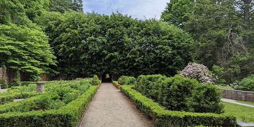
Maudslay State Park
74 Curzon Mill Road 978-465-7223This park features gardens from the 1800s, other plantings, rolling meadows, and huge groves of mountain laurel. Loved by visitors for the may-to-June blooming period of large beds of azaleas and rhododendrons. An exquisite place for walking, biking, and informal picnics. Portions closed in winter, but still fine for walks. Special use permits allowed for weddings. - Trail Map (PDF)
Ipswich, MA
Crane Memorial Reservation
Argilla Road 508-356-4351Set on a barrier beach, this preserve features nature trails, and is the perfect site for bird watching.
North Andover, MA
Ward Reservation
Prospect Road 978-682-3580The focal point of the Ward Reservation is 420-foot Holt Hill, the highest point in Essex County. At the summit, visitors can see Boston's skyline and the Blue Hills to the south, and explore the "Solstice Stones”, a compass-like arrangement of stones set on the peak. The narrow stone in the NE quadrant points in the direction of where the sun rises on the summer solstice (around June 21), the longest day of the year. Located at the foot of Holt Hill is Pine Hole Bog, a rare quaking bog that features concentric rings of distinct vegetation, each characterized by different growing conditions.
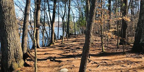
North Andover, MA
Weir Hill
Stevens Street 978-682-3580Weir Hill’s (pronouced "wire hill") four miles of easy hiking trails meander over a double drumlin that rises 305 feet, includes more than a mile of scenic shoreline on Lake Cochichewick, and a broad meadow that provides magnificent views of Stevens Pond and the Merrimack Valley. The Reservation is named for the fish weirs (woven fences with stakes) that were once submerged by Native Americans in Cochichewick Brook to catch alewives before they reached Lake Cochichewick to spawn. Picnicking, bird watching, and cross-country skiing in winter invite visitors year round.