Walking and Hiking
Berkshires and Pioneer Valley have lovely & mountainous places to walk
49 listings
Tyringham, MA
McLennan Reservation
Fern Road 413-298-3239Hiking, birding, picnicking
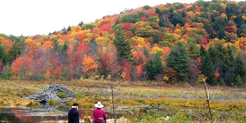
From the entrance of the McLennan Reservation, a 1.5-mile trail follows the graceful rises and dips of this densely forested landscape before reaching the high plateau where Hale Swamp (created when beavers dammed Camp Brook long ago) is located. Round Mountain and its neighbor, Long Mountain, form the backdrop for the reservation, which was once part of the Ashintully estate, whose gardens are located at the southern end of the valley.
Mount Washington, MA
Mount Everett State Reservation
143 East Street 413-528-0330Good for scenery and vista-viewing; free access; pets permitted.
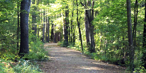
Mount Everett is close to the juncture of Connecticut, Massachusetts, and New York State. The hike up to its 2,624-foot summit is challenging, but the reward is views that are out of this world. The summit road is supposed to be open in the summer; it is wise to call ahead to make sure the road will be open. If the summit road is open, you can drive to the top. Directions.
Here’s a tip from BerkshireHiking.com: If you are looking for a hike that is a workout but not too grueling, park at the base of the Everett's summit road (East Street in Mount Washington, MA). Follow the summit road to Guilder Pond, which offers a loop trail. From Guilder Pond you can proceed to white blazes that indicated you’re on the Appalachian Trail. Hop on the A.T. and head for the summit, just a mile away. Map.
Season & Hours: The park is open year-round, sunrise to sunset year-round. Summit road is open in the summer.
Williamstown, MA
Mountain Meadow Preserve
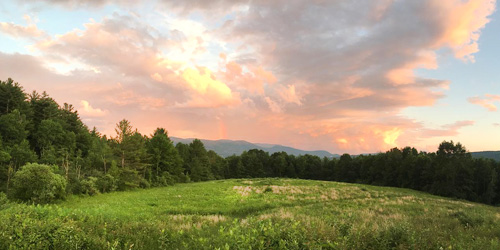
Mason Street 413-458-3144Mountain Meadow Preserve protects forest, fields, and wetlands along the Massachusetts-Vermont border that are home to bears, coyotes, bobcats, fox, and deer, butterflies, amphibians. There are four miles of easy-to-moderate trails on roads and footpaths, One trail cuts through a spectacular upland wildflower meadow. A second loop trail leads to a summit with views of Mount Greylock and the Taconic Range. The property is owned and managed by Trustees of Reservations
Hours: Open year-round, daily, sunrise to sunset. Allow a minimum of 1 hour. Map.
From Belchertown, MA
Metacomet-Monadnock Trail from Holland Glen to Mount Lincoln
This is a 10-mile section of the 117-mile Metacomet-Monadnock Trail (M+M) which is managed the Appalchian Mountain Club. In its entirely, the trail traverses the Metacomet Ridge of the Pioneer Valley region of Massachusetts and the central uplands of Massachusetts and southern New Hampshire.
This 10-mile section is moderately difficult. It takes walkers over ridges and along streams on footpaths and old-town roads, overgrown with mixed forest. Holland Glen, the start of the hike, is a steep ravine laced with a clear stream and shaded by a mature hemlock stand. There’s a waterfall at the top of the glen. Follow the white blazes.
Directions: From Massachusets Route 2, take Route 202 to Belchertown. Take the exit for Route 9 west. Proceed 2.8 miles to parking on the right. The trailhead is just north of parking lot.
Pittsfield, MA
Mahanna Cobble Trail
former Bousquet ski area, 101 Dan Fox DriveBerkshire Natural Resources Council and Mill Town have developed a permanent trailhead from the former Bousquet ski area. Mahanna Cobble Trail is 2.8 miles round trip and is rated difficult because of elevation changes. “Cobble” is a local term to describe a geologic formation of exposed bedrock high on a ridge.
Directions: Park to the far left of the former Bosquet lodge. Signs direct hikers to a temporary access route from the Bousquet base lodge and parking area, up a ski hill, toward the new Mahanna Cobble trail. Take the beginner ski slope, Drifter, up for 0.4 miles to the start of the trail. After that, the trail is a one mile of abrupt turns and stone steps. There is a spectacular view and stone bench at the apex.
Great Barrington, MA
Monument Mountain
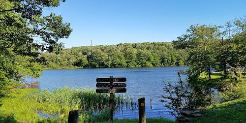
Route 7 413-298-3239For almost two centuries, Monument Mountain has been a source of inspiration to poets, novelists, and painters. The summit offers panoramic views of Southern Berkshire County, and three miles of trails lead through a white pine and oak forest. During William Cullen Bryant's stay in Great Barrington, he penned the lyrical poem "Monument Mountain," and on August 5, 1850, Nathaniel Hawthorne and Herman Melville enjoyed a well-chronicled picnic hike up Monument Mountain. A thunderstorm forced them to seek refuge in a cave where a vigorous discussion ensued, inspiring ideas for Melville's new book, Moby Dick.
Pittsfield, MA
Pittsfield State Forest
1041 Cascade Street 413-442-8992Good for handicap-accessible recreation, fishing, walking & hiking.
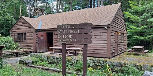
Hike or walk 30 miles of trails and enjoy a natural retreat along the ridge of the Taconic Mountain Range, which rises up between Massachusetts and New York. The Taconic Crest Trail is a popular, 35-mile hiking trail. Wheelchair users can easily enjoy the smoother, three-quarter-mile Tranquility Trail. Handicap-accessible picnic site and restroom nearby. - Trail Map (PDF)
Mount Washington, MA
Mount Washington State Forest
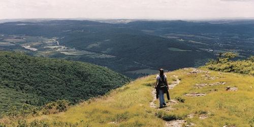
545 East Street 413-528-0330Take in vast views of this rugged natural landscape along two main trails. The South Taconic Trail brings you to the 2,000-foot summit of Alander Mountain. Or, you can follow the majestic Appalachian Trail; either way, explore this area on foot for a satisfying view of the surrounding valley ridges and trees. - Trail Map (PDF)
Hadley, MA
Skinner State Park
Route 41 413-586-0350This park features 10 miles of trails, which allow visitors to climb Mount Holyoke and the Holyoke Range. Offers great view of the Connecticut River Valley.
Wales, MA
Norcross Wildlife Foundation
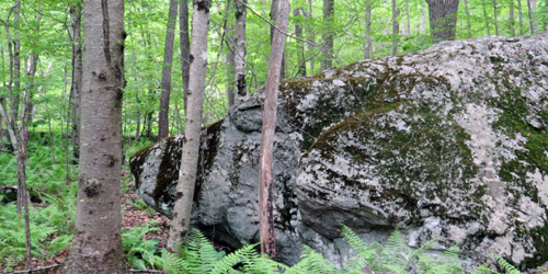
30 Peck Road 413-245-1264There are two miles of marked walking trails through a variety of habitats and wildflower gardens at this 8,000-acre nature preserve and nature education property.
Hours: Trails are generally open April through November, trail conditions permitting. Call ahead during the winter months.
Sheffield, MA
Bartholomew’s Cobble
Weatogue Road, Ashley Falls 413-229-8600This National Natural Landmark is home over 800 species of plants, including one of North America's greatest diversities of fern species, as well as abundant wildflowers. The Reservation is named for two rocky knolls that rise above the Housatonic River, and the high point, Hurlburt's Hill, rises 1,000 feet to a twenty-acre field on the Massachusetts-Connecticut border that offers panoramic views northward up the Housatonic River Valley. Visitors will enjoy hiking this diverse woodland, and the many public programs that are presented throughout the year.
New Marlborough, MA
Dry Hill
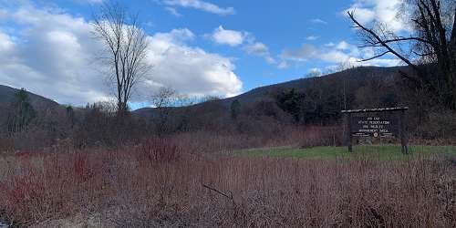
Old North Road (Harmon Road) 413-298-3239About 200 acres of forest can be traversed on a mile-long loop trail that traces a small brook and passes vernal pools and other wetlands. The trail passes a stream, several spring ponds, and a red maple and hemlock swamp. An oak forest covers the upper slopes and ridge tops. Dense thickets of mountain laurel bloom in late June. Trails are moderately difficult.
Open year-round, daily, sunrise to sunset. Allow a minimum of one hour for the walk.
Information: www.thetrustees.org/places-to-visit/berkshires/dry-hill.html
Egremont, MA
Jug End State Reservation
Jug End Road 413-528-0330Jug End offers one of the most scenic areas in the Berkshires. The Jug End Loop Trail is a two-mile walk through open fields and hardwood woodlands. This walk also provides access to and parking for the Appalachian Trail. Open year-round, sunrise to sunset. Parking is only for daytime use of the park. No charge to enter the property. Pets are permitted on a 10-foot leash. Off-road vehicles and alcoholic beverages are not allowed.
Warning!: Black bears live here - NEVER confront or feed or tease the bears. Be sure to seal your food and collect all trash to take with you. Rattlesnakes also live in the park. Stay clear of them. - Trail Map (PDF)

Goshen, MA
D.A.R. State Forest
78 Cape Street - MA Route 112 413-268-7098Hike and walk along 15 miles of trails through northern hardwood-conifer forest at the foothill of the Berkshire Mountains. Trails are for multiple uses, including mountain biking, horse riding, and snow sports. Spectacular views of the Connecticut River Valley can be seen from the Goshen fire tower. - Trail Map (PDF)
Charlemont, MA
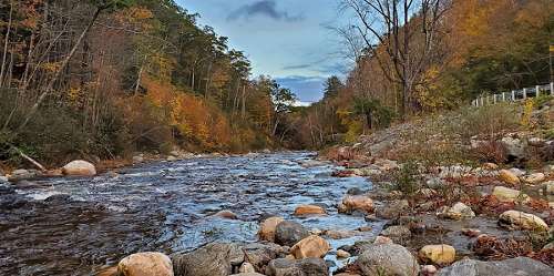
Mohawk Trail State Forest
175 Mohawk Trail (MA Route 2) 413-339-5504Hike and walk along the Mohican-Mohawk Trail, a Native American footpath between the Connecticut and Hudson River Valleys. Quarter-mile Thumper Mountain Trail is located near the year-round group campsite, and leads you to a lookout point where you can watch the sun rise. Indian Lookout Trail is one mile long and leads you to another scenic lookout. Hike to Clark Mountain and Todd Mountain from this trail, or continue straight on the Mohican-Mohawk Trail. - Trail Map (PDF)
Ashfield, MA
Bear Swamp
Hawley Road 413-684-0148Visitors to Bear Swamp can explore three miles of trails that lead past an old beaver dam resting atop an old stone milldam, a variety of ferns and woodland wildflowers, and scenic vistas that offer views of nearby apple orchards and the Green Mountains of Vermont beyond. Bear Swamp also features excellent bird watching and picnic tables at the Apple Valley Overlook.
Tyringham, MA
Tyringham Cobble
Jerusalem Road 413-298-3239Visitors to Tyringham Cobble can hike two miles of trails, a section of which is a link in the Appalachian Trail, that pass over the twin knobs of the Cobble offering spectacular views of Tyringham Valley. Small trees and shrubs have taken root among dramatic rock outcrops and glacial boulders, and wildflowers, blackberries, blueberries, and wild strawberries grow in clearings and open meadows. The Cobble was used as pastureland for a Shaker community in the late eighteenth century, but today provides excellent opportunities for bird watching, picnicking, and cross-country skiing.
Chesterfield, MA
Chesterfield Gorge
River Road 413-532-1631The magnificent gorge, formed by the movement of the Westfield River, offers an easy, one-half-mile path with great views, and another, seven-mile path that is popular with both walkers and mountain bikers. See a full description on our Walking & Hiking page.
Middlefield, MA
Glendale Falls
Clark Wright Road 413-684-0148Fed by more than five square miles of watershed, Glendale Falls is one of the longest and most powerful waterfall runs in Massachusetts. In spring, the waters of Glendale Brook roar over rock ledges more than 150 feet high before joining the Westfield River. A quarter-mile trail leads to bottom of the falls for viewing. The Reservation was once part of the historic 18th-century Glendale Farm, which operated a gristmill whose foundation can be explored in the woods just north of the falls.
Great Barrington, MA
Housatonic River Walk
Dresser Avenue and River StreetHousatonic River Walk is a paved path that ambles alongside the Housatonic River in Great Barrington, following the Housatonic River between Cottage Street and Bridge Street. It passes the W.E.B. Du Bois River Park. The trail’s two sections are linked by Dresser Avenue and River Street. The upstream section extends from the River Walk bulletin board at 195 Main Street to the William Stanley Overlook. The trail exits at the stairs to St. Peter’s Church parking lot on Dresser Avenue. The downstream section of the trail begins adjacent to the Berkshire Corporation parking lot on River Street and ends at Bridge Street.
Richmond, MA
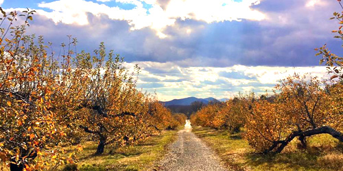
Hilltop Orchards Trails
508 Canaan Road - Route 295 413-344-6817Hilltop Orchards, also the home of Furnace Brook Winery, welcomes hikers to explore trails on its 200-acre property in the Berkshire hills. Leashed dogs are allowed on trails. Hikers are asked to sign in at the Farm Winery Store before hiking. Hikers should appropriate shoes and hats, and bring sunscreen and bug repellent. The property has three hikes of easy to moderate difficulty. In winter, the orchard hosts a monthly Full Moon Hike and Bonfire and a Full Moon Snowshoe Trek & Bonfire. Both are guided excursions followed by wine tasting.
Sheffield, MA
Race Brook Falls
Off Route 41This hike includes a beautiful, three-tiered waterfall, which spans most of the hike. The walk starts through a dense pine forest but quickly opens to a young forest. At the top of the waterall is a natural swimming hole. This hike starts right off Route 41 and is well marked. It is mostly an inclined hike, rated moderate to strenuous.
Directions: The entrance to Race Brook Falls is a few miles over the border of Connecticut from Sheffield, MA. From the center of Salisbury take Route 41 north. Pass the border and a few miles later on the left side will be a paved cutoff from Route 41.
Windsor, MA
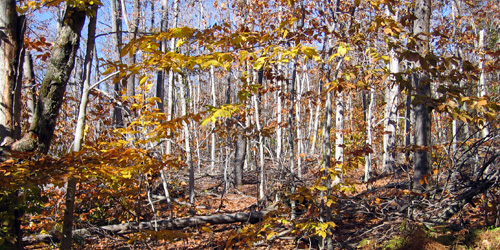
Notchview Reservation
3 Old Route 9 413-684-0148This property of forest and field is managed by the Trustees of Reservations has 25 miles of hiking trails, offering easy-to-moderate mountain top hiking. It is open daily, year-round, and is used extensively for cross-country skiing during snow season. It is a popular place to bird watch. Along with the other Trustees hiking properties, events like bonfires and beer tastings are often held in conjunction with a hike. Notchview also offers a dog-friendly trail that winds you through dense forest and over bridge covered rivers.
Lenox, MA
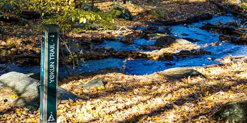
Mass Audubon’s Pleasant Valley Wildlife Sanctuary
472 West Mountain Road 413-637-0320Come and enjoy walking seven miles of trails with access to Lenox Mountain summit. Universally accessible trail (0.3 miles) and boardwalk overlooking Pike’s Pond and an active beaver colony. Summer camp and canoe trips offered on the Housatonic River. - Trail Info and Map
Hours: Open year-round. Trails are open dawn to dusk.
Sandisfield, MA
Sandisfield State Forest (York Lake)
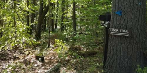
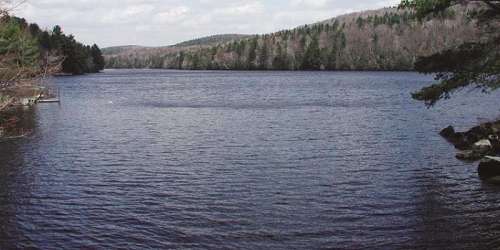
York Lake Road 413-229-8212Hike the two-mile Pond Loop Trail for good views of the lake. Moderate difficulty.
New Marlborough, MA
Questing
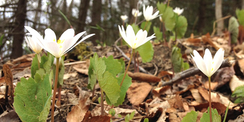
New Marlborough Hill Road 413-298-3239A seventeen-acre upland field of native meadow wildflowers attracts a variety of dragonflies and butterflies
Questing features two miles of trails perfect for hiking or cross-country skiing, extensive tracts of hardwood forest, and a seventeen-acre field of native meadow wildflowers that attracts a variety of dragonflies and butterflies. Cellar holes and stone walls, tell the story of the 200-year-old settlement known as Leffingwell, where the first non-Native American children were born in Berkshire County. This settlement was abandoned in the late nineteenth century as farmers migrated to the Midwest.

Easthampton, MA
Arcadia Nature Center and Wildlife Sanctuary
127 Combs Road 413-584-3009Explore four miles of trails at Arcadia, including an 850-foot wheelchair accessible trail. - Trail Map (PDF)
Hours: Open Daily dawn to dusk. Nature Center is open Mon-Fri 9am - 3pm, Saturday 9am - 4pm and Sunday 10am - 2pm.
Chester, MA
Chester-Blandford State Forest
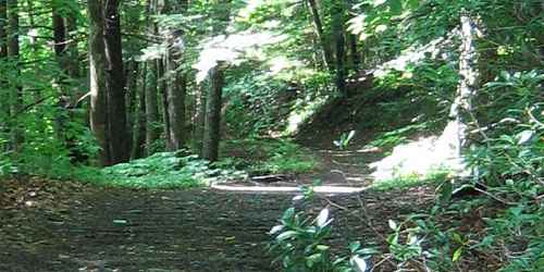
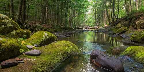
20 Chester Road 413-354-6347Hike at your own pace on any of this park's many trails. An easy 1-mile hike will lead you to beautiful Sanderson Brook Falls. If you're up to the challenge, the H. Newman Marsh Memorial Trail features a climb to the top of Observation Hill, with views of the river valley. Or, wander near the historic Jacob's Ladder Scenic Byway for another stunning vista. - Trail Map (PDF)
Hawley, MA
Kenneth Dubuque Memorial State Forest
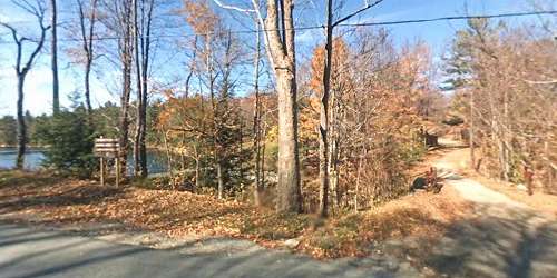
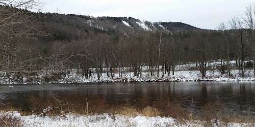
MA Route 8A 413-339-5504This 7,882-acre northern hardwood and spruce-fir forest offers 35 miles of mixed-use trails, six miles of hiking trails and one mile interpretive trail around Hallockville Pond. There are many historic sites, such as evidence of an abandoned village; a beehive charcoal kiln; and the remnants of mill businesses. Open: year-round, sunrise to sunset. Access is free. Interior roads are in poor condition. Carry-in, carry-out all your belongings and trash. Snowmobiling is available on 35 miles of trails, conditions permitting. Parking is available at King Corner garage on Route 8A. Prohibited: All-terrain vehicles and alcoholic beverages. - Trail Map (PDF)
Monroe, MA
Monroe State Forest
Tilda Hill Road 413-339-5504Walking and hiking in Monroe State Forest will lead you through valley, mountain, and woods. For scenic views of Hoosac and Green Mountains and Deerfield River, hike to the summit of Spruce Mountain. Try the Dunbar Brook Trail, which starts from the River Road parking area and is full of ancient trees. The brook drops 700 feet and gives way to waterfalls, rapids, and natural pools. No services are available. Watch for black bears. Trail map.
South Deerfield, MA
Mount Sugarloaf State Reservation
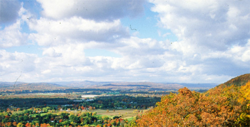
Route 116 413-545-5993The summit of Mount Sugarloaf has vast views of the Connecticut River Valley. The park is great for picnics, hiking, and mountain biking. Visitors can use grills, restrooms and picnic areas.
Hours: Summit road is open mid-May through mid-October. Property is open 9 a.m.-sunset
Admission: MA resident , $5; non-MA resident, $10. The pavilion costs $65/day to reserve. It holds 30 people.
Williamsburg, MA
Petticoat Hill
Petticoat Hill Road 413-684-0148Spend some time in this century old forest
This hillside is covered by a 100-year-old forest criss-crossed by old stone walls and dotted with the cellar holes and foundations of early farmsteads. The Reservation takes its name from the story of a family with seven daughters that settled near the top of the hill. Each daughter wore five petticoats, and, on Monday wash days, people from miles around could see thirty-five petticoats billowing in the breeze as they dried on a clothesline. The focal point of this park is a natural bridge, but visitors can also enjoy swimming, hiking, fishing, and cross-country skiing. Special events are often scheduled.
Williamstown to Pittsfield, MA
Taconic Crest Trail
203-788-7665This is a 35-mile north/south trail with great vistas. The trail meanders in or near western Massachusetts, from Williamstown to Pittsfield. The trail heads up into Vermont and moves back and forth along the New York and Massachusetts state borders. Petersburg Pass adjacent to Williamstown is the most popular starting point. A wheelchair-accessible picnic area and restroom are located nearby.
How to Find It: From Route 7 in Williamstown, MA, turn onto Route 2 west at the A-Frame Bakery. At the top of the hill is a large parking area on the left. Park there, and cross the road to get onto the trail head to the Snowhole near Vermont state line or just head south to Berlin Mountain by hiking up the trail leading up the hill at the back of the parking lot.
Lanesborough, MA
Mount Greylock State Reservation
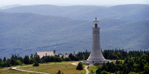
30 Rockwell Road 413-499-4262There are many paths of all difficulties which one can take to reach Mount Greylock's summit. For an easier walk, meander along the 1.8-mile-long Bradley Farm Trail, and learn about the area's rich farming history. Also worth exploration are the Scenic Byway or Greylock Glen. Take a camera! - Trail Map (PDF)
Lee, MA
October Mountain State Forest
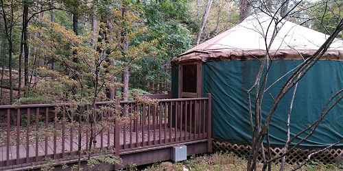
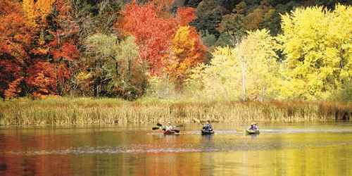
317 Woodland Road 413-243-1778This very large state park has extensive walking trails. Be aware you are in black bear country; stay away from bears. - Trail Map (PDF)
Warwick, MA
Mount Grace State Forest
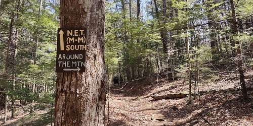
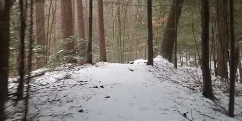
78 Winchester Road 978-544-3939Mt. Grace is the second highest peak in Massachusetts. There are hiking, cross-country skiing and horseback riding trails. Picnic areas are also available. - Trail Map (PDF)
Holyoke, MA
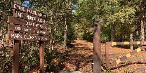
Mount Tom State Reservation
125 Reservation Road 413-534-1186The summit of Mount Tom has vast views of the Connecticut Valley and the Berkshire mountains. The property has 22 miles of hiking and walking trails, visitor center with rest rooms, a play area for kids, picnicking, fishing on the 10-acre Lake Bray; and cross country skiing and ice skating. - Trail Map (PDF)
Williamstown, MA
Field Farm
Sloan Road 413-458-3144Field Farm’s over four miles of trails offer excellent hiking, cross-country skiing, and snowshoeing opportunities in the shadow of Mount Greylock, Massachusetts’ highest peak. A center of agriculture since at least 1750, Field Farm also features a modernist house now utilized as a bed and breakfast (The Guest House at Field Farm), and the 1965 Ulrich Franzen designed “Folly” – a pinwheel shaped guest house open for tours during the summer.

Northampton, MA
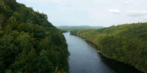
Connecticut River Greenway State Park
136 Damon Road 413-586-8706The Connecticut River Greenway connects open spaces and parks. See park website or link below for plenty of walking and hiking opportunities.
Northampton, Hadley, & Amherst, MA
Norwottuck Rail Trail
Begins at Elwell State Park, Damon Road 413-586-8706This 8.5-mile trail runs from Northampton, through Hadley and into Amherst along the old Boston & Main Railroad line. Bicycle and wheelchair hand-cycles rentals are available.


Monterey, MA
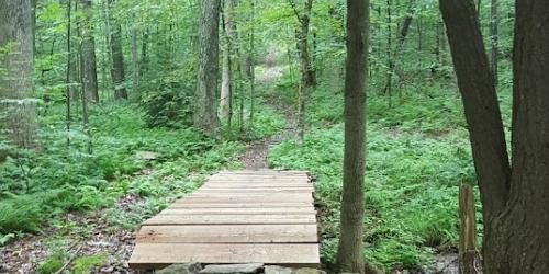
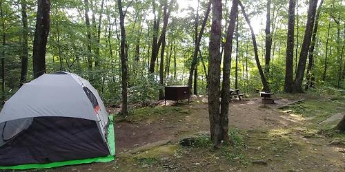
Beartown State Forest
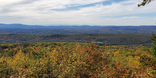
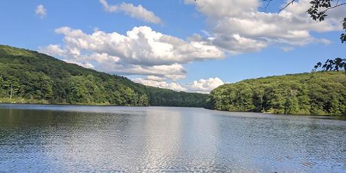
69 Blue Hill Road 413-528-0904When you walk or hike through the 12,000 acres of Beartown State Forest, you'll gain endless chances to observe wildlife like beavers, deer, Bob and Fisher cats, and even Black Bears. Hike the 1.5-mile Benedict Pond Loop Trail in any season. Enjoy the stunning, life-filled landscape, and be sure to check out the nearby Appalachian Trail, which runs all the way from Georgia up to Maine. - Trail Map (PDF)

Chicopee, MA
Chicopee Memorial State Park
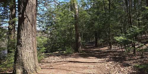
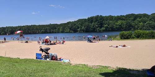
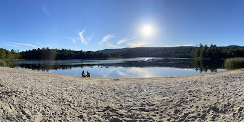
570 Burnett Road 413-594-9416Wrapped around a 25-acre pond and swimming beache, this park also has walking and biking trails. Hike a two-mile paved trail around the pond and through a pine forest. See trail map for more paths. - Trail Map (PDF)
Clarksburg, MA
Clarksburg State Park
1199 Middle Road 413-664-8345Hike 9.5 miles of foot trails surrounding Mauserts Pond. Five winding, looping walking trails offer various difficulty levels, depending on how far you plan to hike. - Trail Map (PDF)
Ashfield, MA
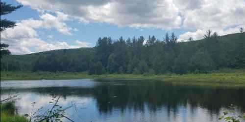
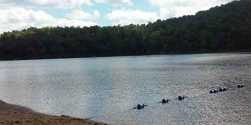
Chapelbrook
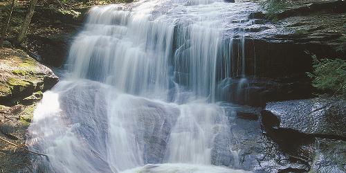
Williamsburg Road 413-684-0148At the core of Chapelbrook is Pony Mountain, whose nearly vertical 100-foot rock face offers a challenge to very skilled, technical rock climbers. A gentle, half-mile trail leads around the western side of Pony Mountain to its summit, offering unobstructed views south toward the Berkshire foothills. Chapelbrook is also popular for its sometimes-torrential Chapel Falls. The steady trickle of Chapel Brook becomes a deluge in spring, but in summer, the pools that form under the falls offer a cool, welcome dip.
Florida, MA
Savoy Mountain State Forest
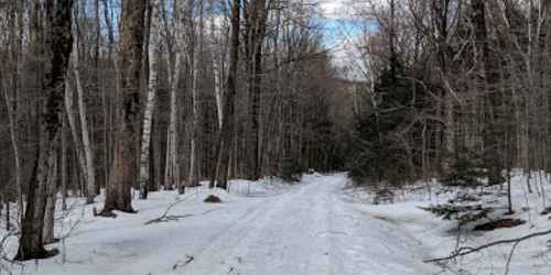
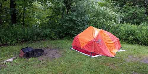
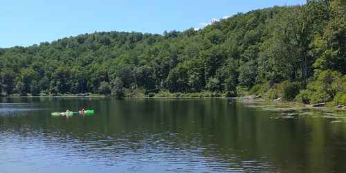
260 Central Shaft Road 413-663-8469No matter the season, you can go hiking on more than 50 miles of trails at Savoy Mountain State Forest. Experience natural spectacles like rich fall foliage and hawk migration. Spruce Hill on the Busby Trail is recommended by locals for its stunning view. - Trail Map (PDF)

Mount Washington, MA
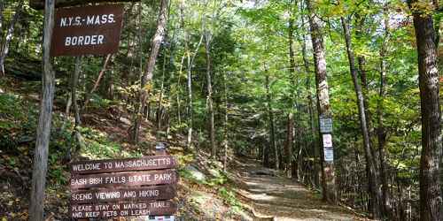
Bash Bish Falls State Park
Falls Road 413-528-0330Bash Bish Falls is nestled among 30 miles of trails at Mount Washington State Forest, which includes the South Taconic Trail, and New York's Taconic State Park. Access to the Falls is via a moderately difficult uphill trail. At the top of Mount Everett you can see a vista that includes three states. - Trail Map (PDF)
Hampden, MA
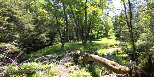
Laughing Brook Education Center and Sanctuary
793 Main Street 413-584-3009This is the house owned by children’s author Thornton Burgess, embedded in 300 acres of walking trails. At least Three designated trails travel through woods and forest, with a variety of plant and animal life to see on all sides. - Trail Map (PDF)
Feeding Hills, MA
Robinson State Park
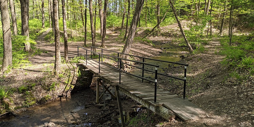
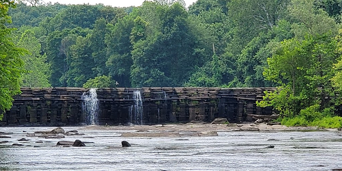
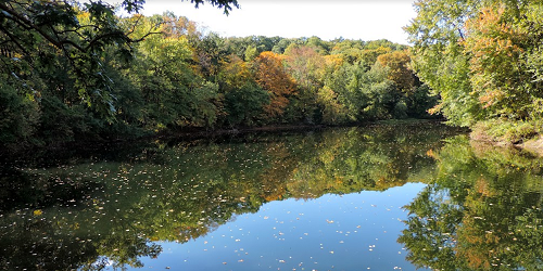
428 North Street 413-786-287720 miles of trails and footpaths are the Yellow, Red, Green, and White Trails, which all connect to each other and will take you through wooded areas and along the scenic Westfield River. Look for the waterfall at Mittineague, too. - Trail Map (PDF)
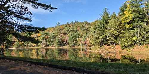
Brimfield, MA
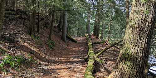
Brimfield State Forest
86 Dearth Hill Road 413-267-9687At Brimfield State Forest, families and groups can walk through mile after mile of green life. Discover something new at every turn along brooks, streams, and the perimeter of Dean Pond, where you can rest at the comfort station. - Trail Map (PDF)